 ATLAS
DCS WORLD
Taxi charts
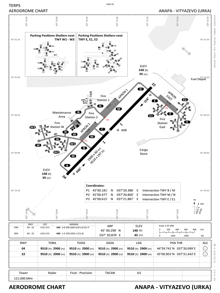
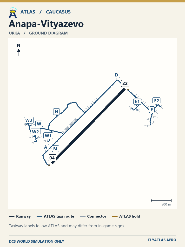
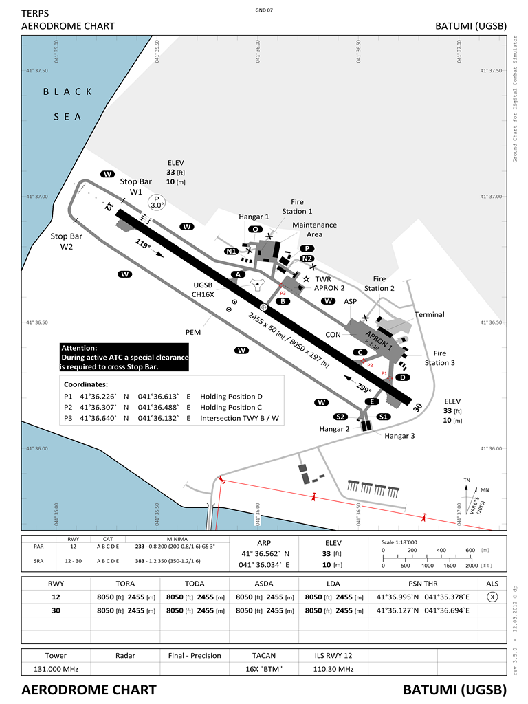
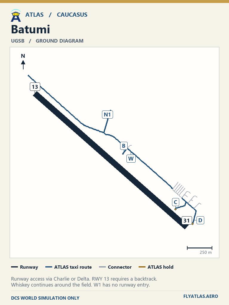
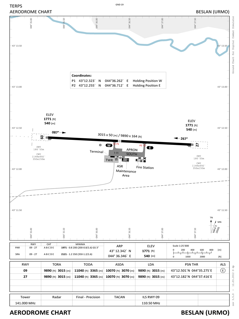
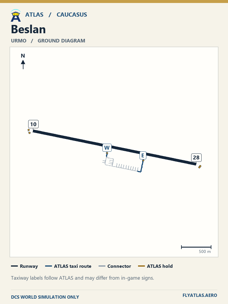
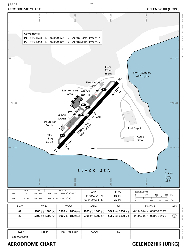
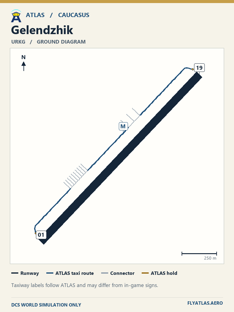
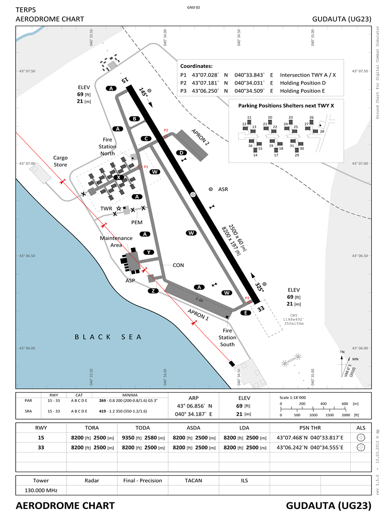
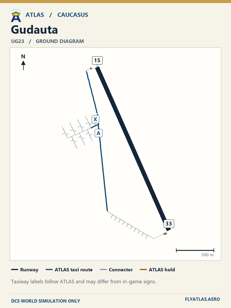
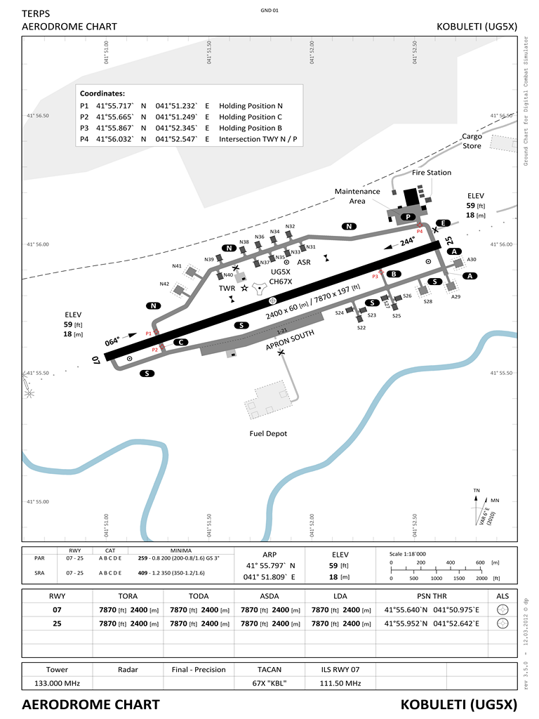
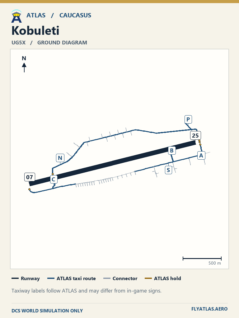
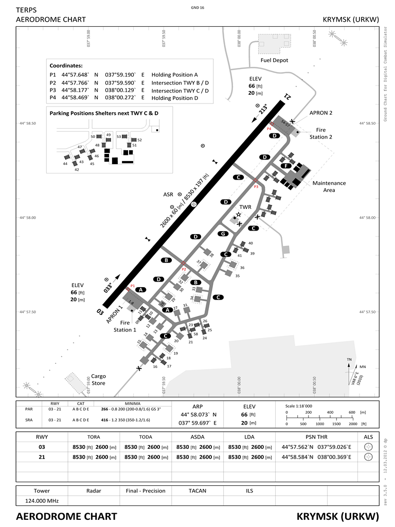
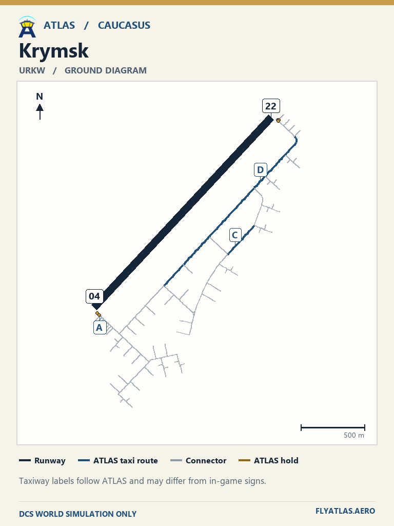
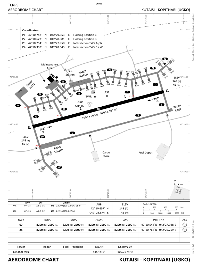
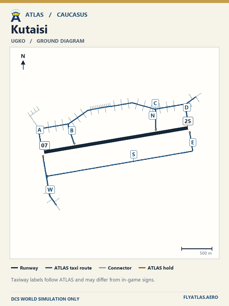
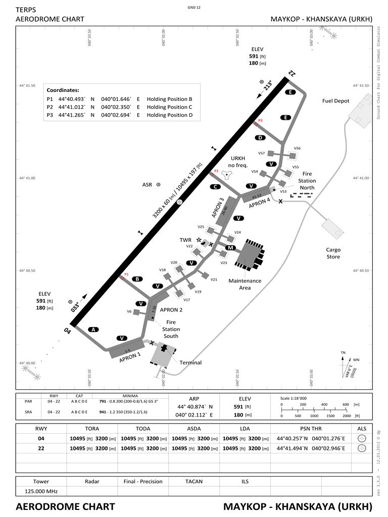
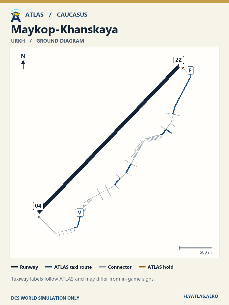
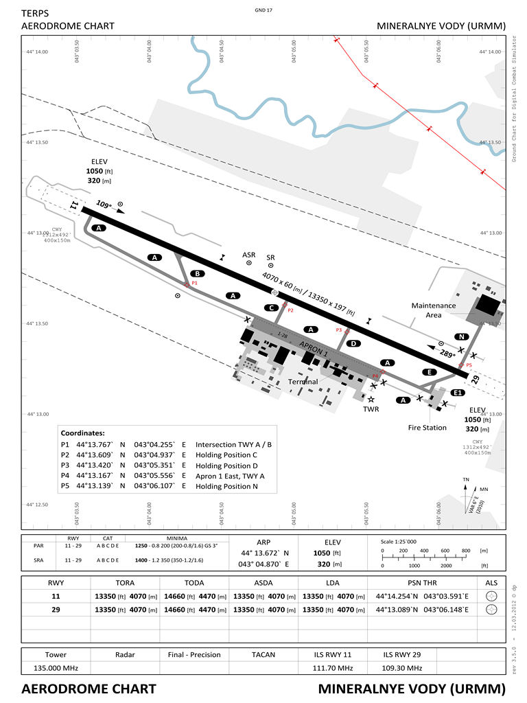
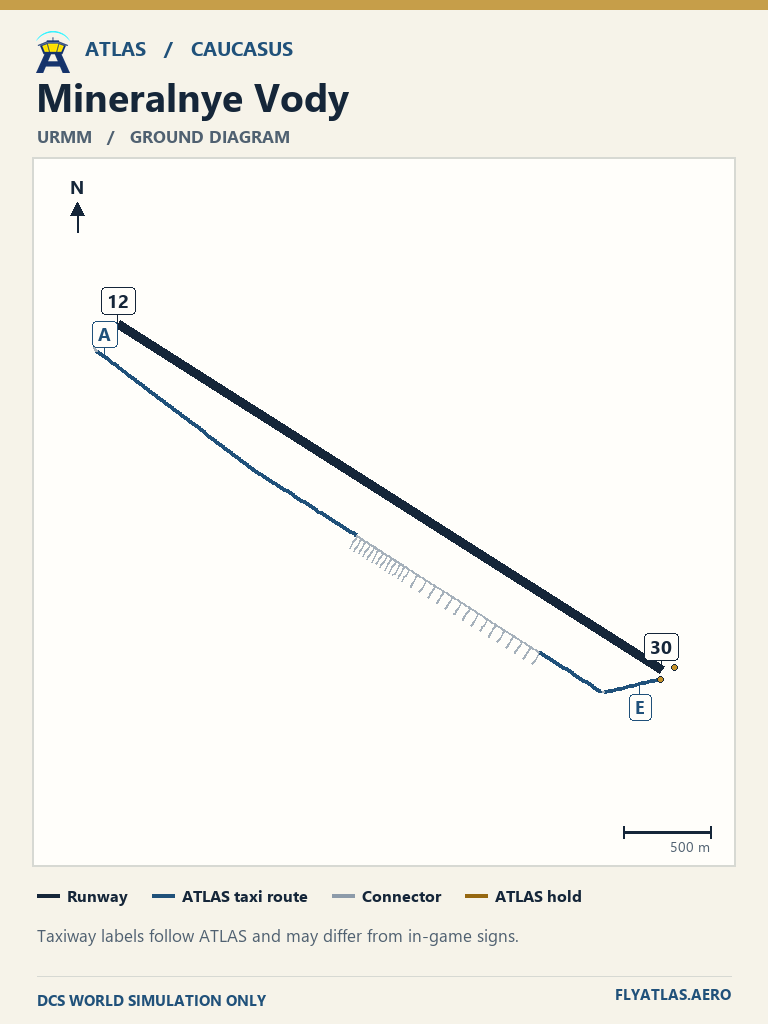
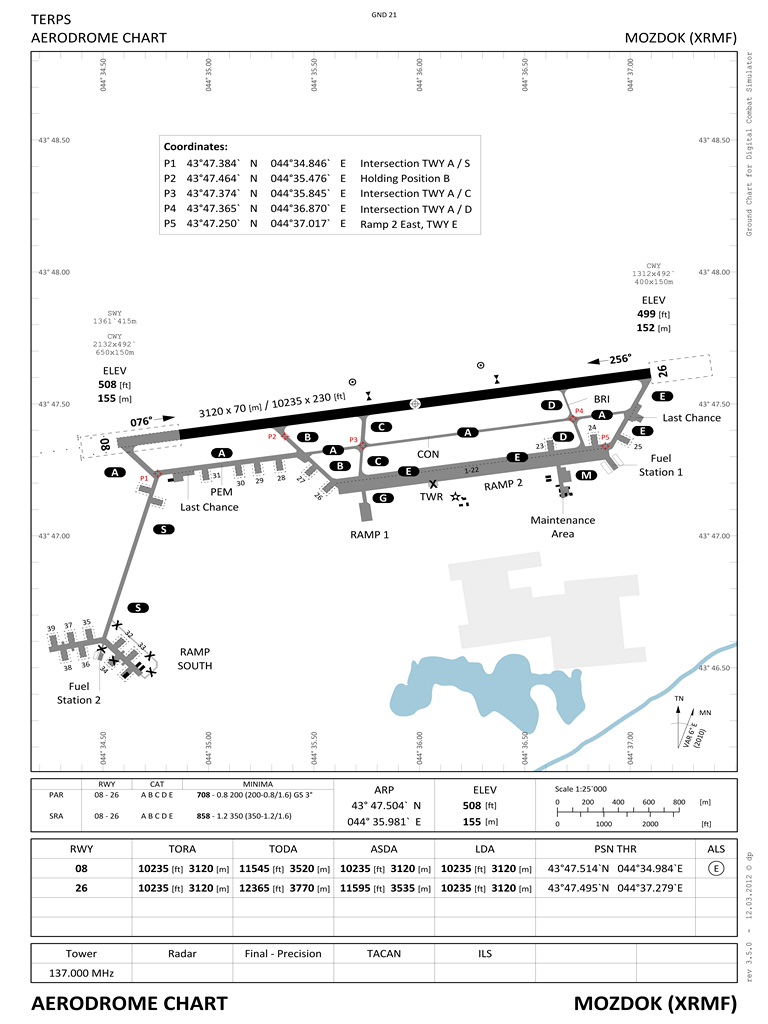
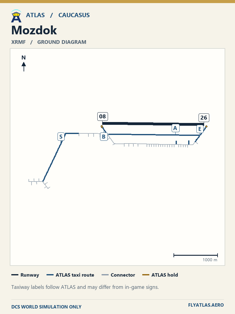
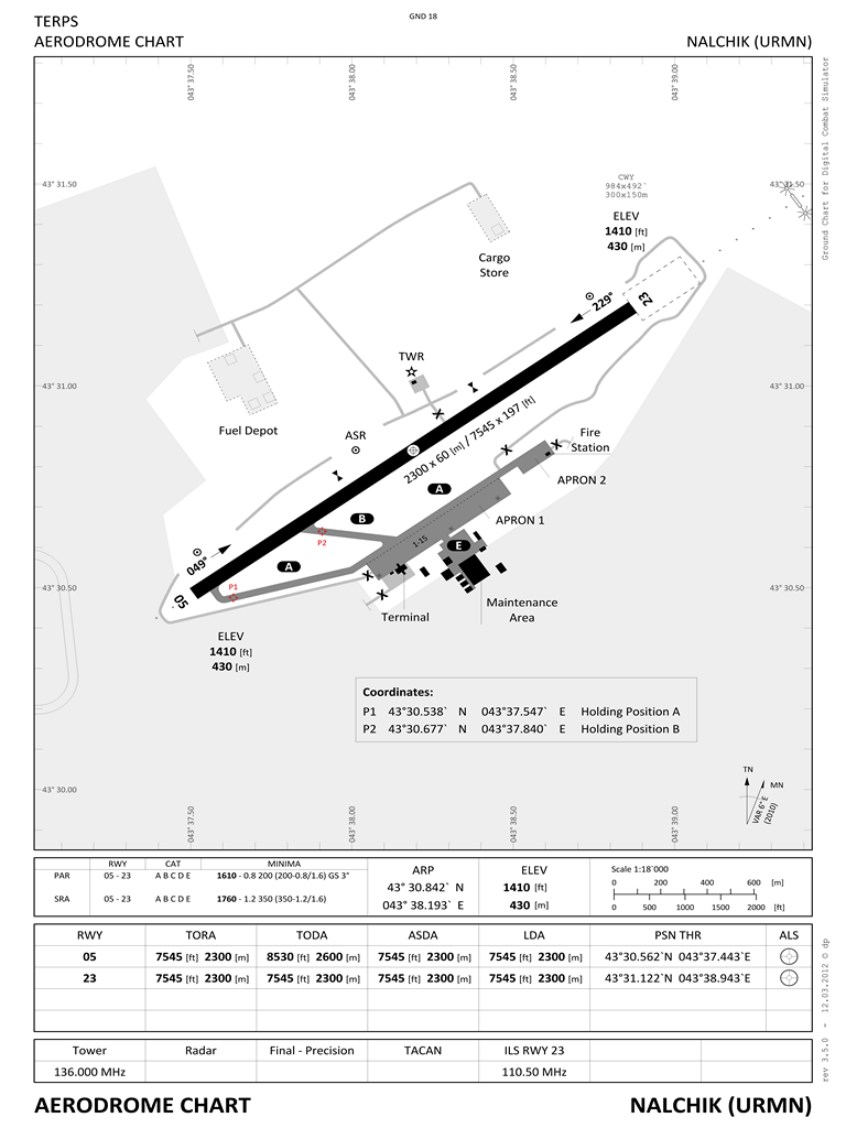
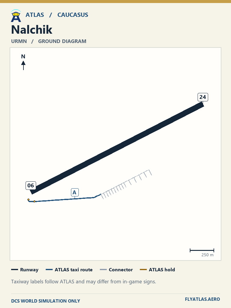
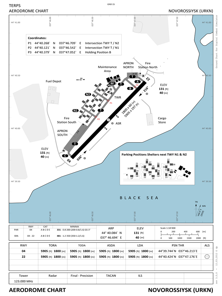
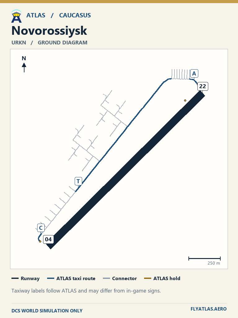
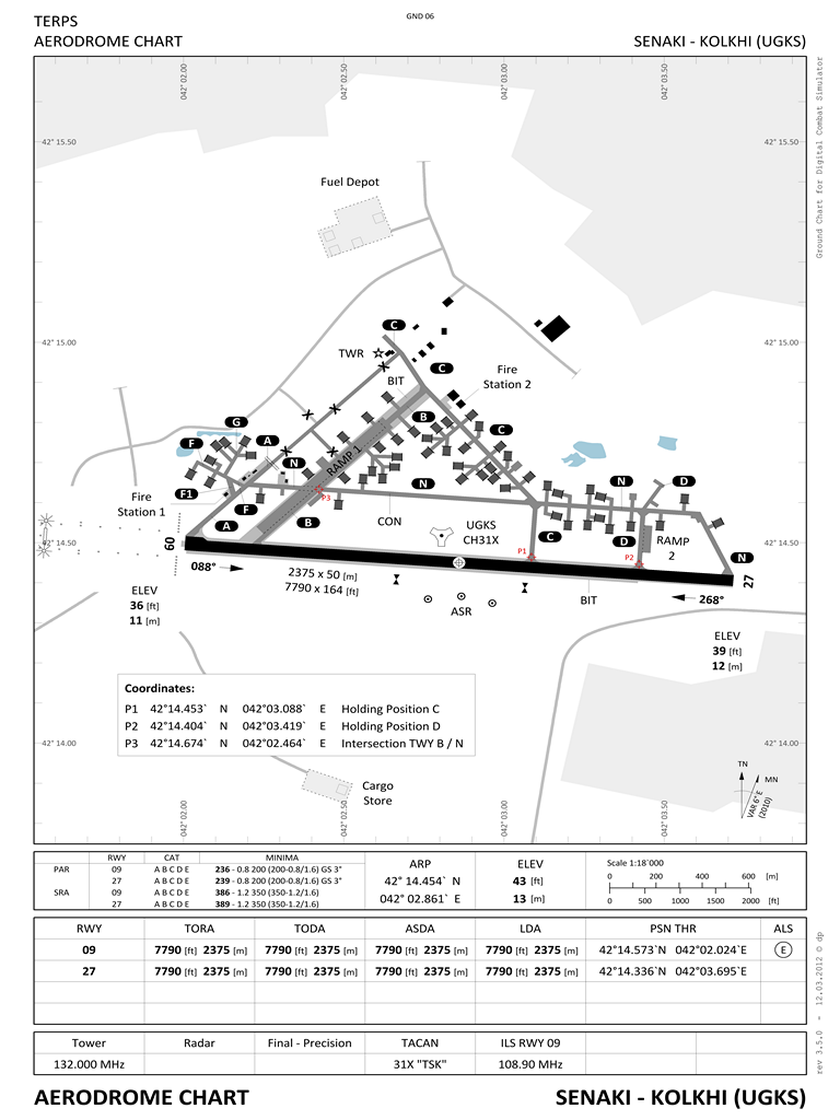
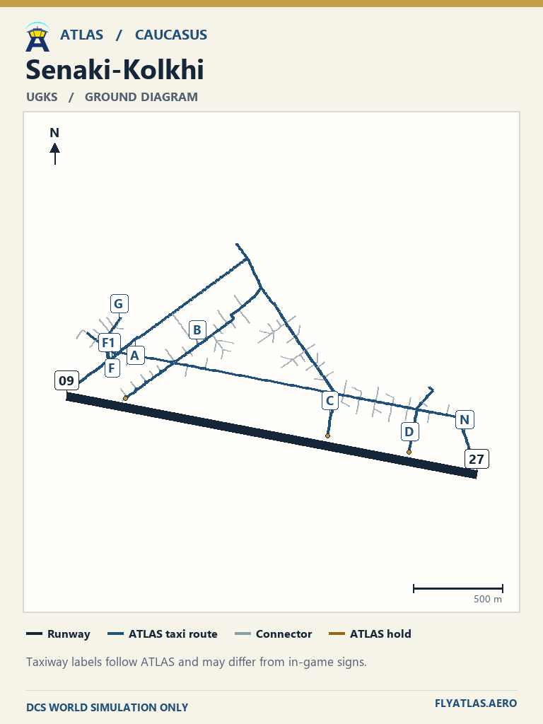
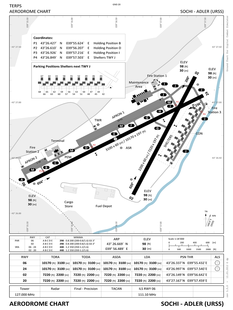
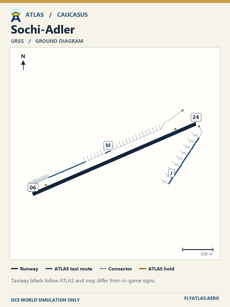
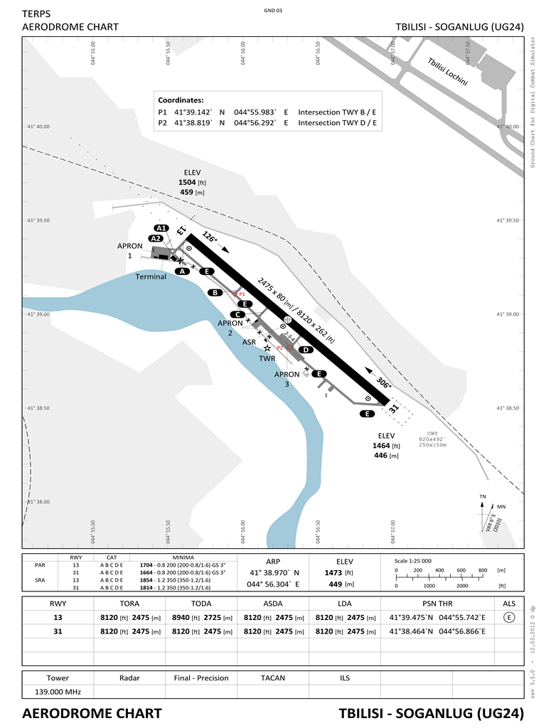
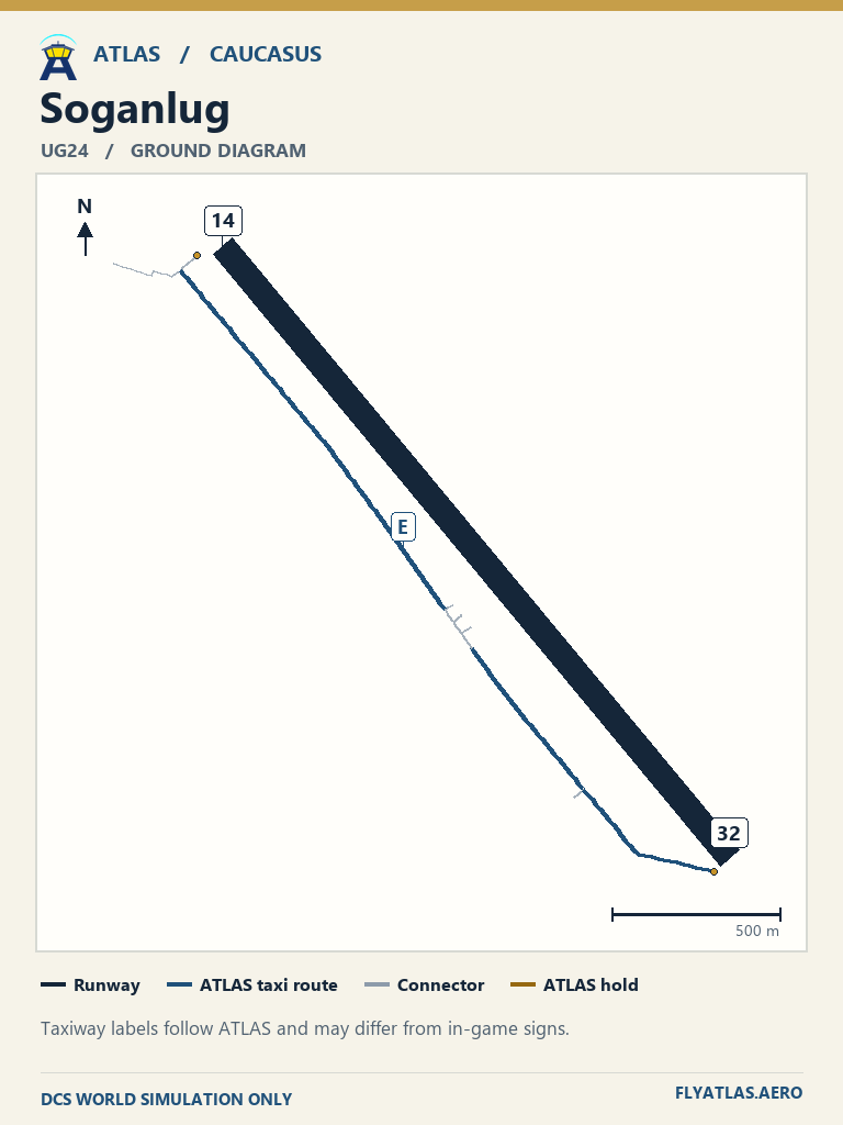
Find published aerodrome charts and original DCS ground charts by airport. ATLAS taxi diagrams show the routes used by the simulator controller.
Caucasus enroute chart →Publisher charts may use different runways or taxiway names from DCS. For example, Batumi’s Georgia AIP chart shows 12/30, and DCS uses 13/31.
View 21 airfields
- Anapa-Vityazevo URKA
- Batumi UGSB
- Beslan URMO
- Gelendzhik URKG
- Gudauta UG23
- Kobuleti UG5X
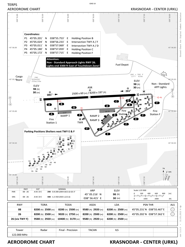
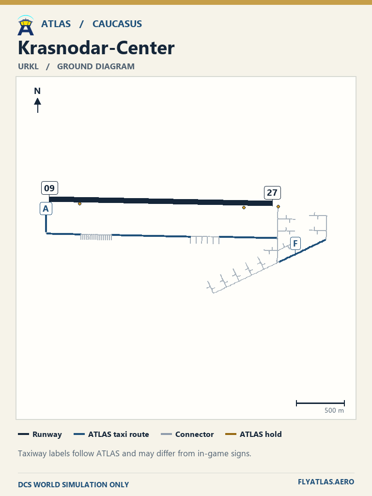
- Krasnodar-Center URKL
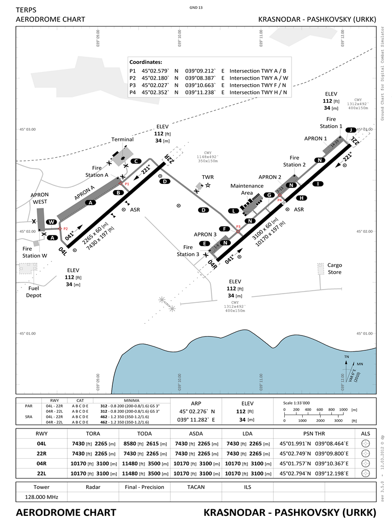
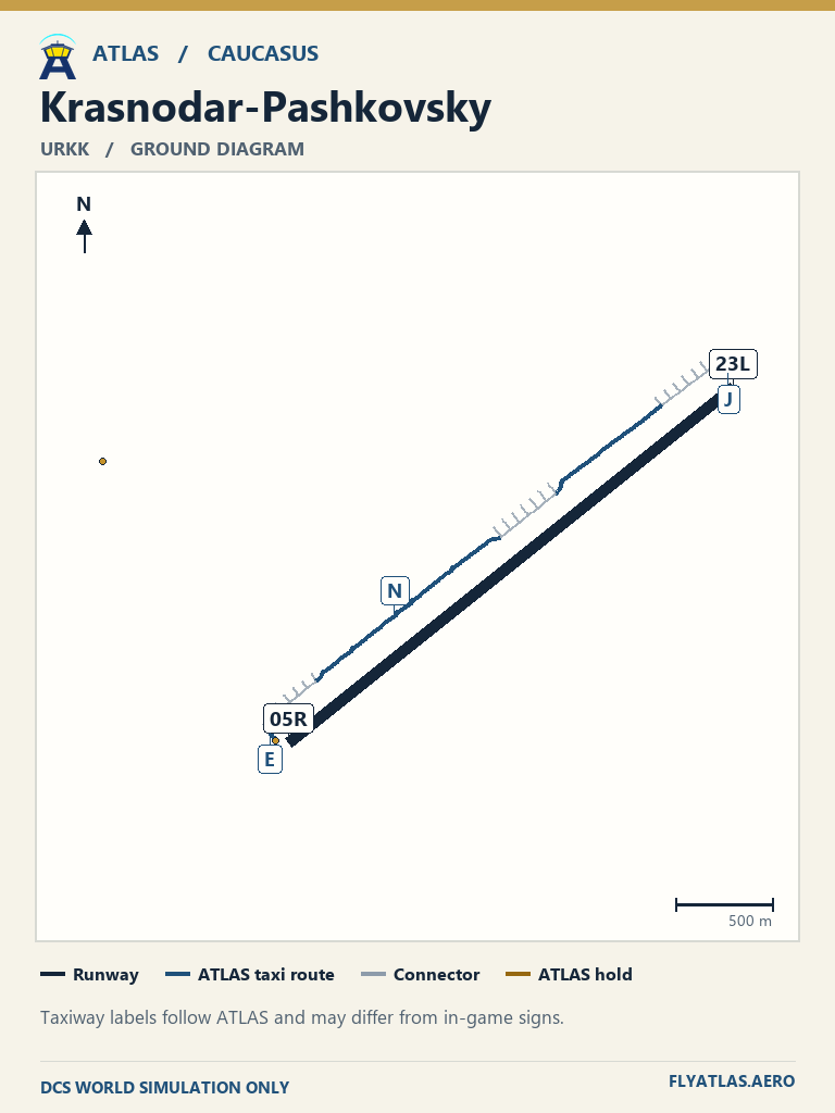
- Krasnodar-Pashkovsky URKK
- Krymsk URKW
- Kutaisi UGKO
- Maykop-Khanskaya URKH
- Mineralnye Vody URMM
- Mozdok XRMF
- Nalchik URMN
- Novorossiysk URKN
- Senaki-Kolkhi UGKS
- Sochi-Adler URSS
- Soganlug UG24
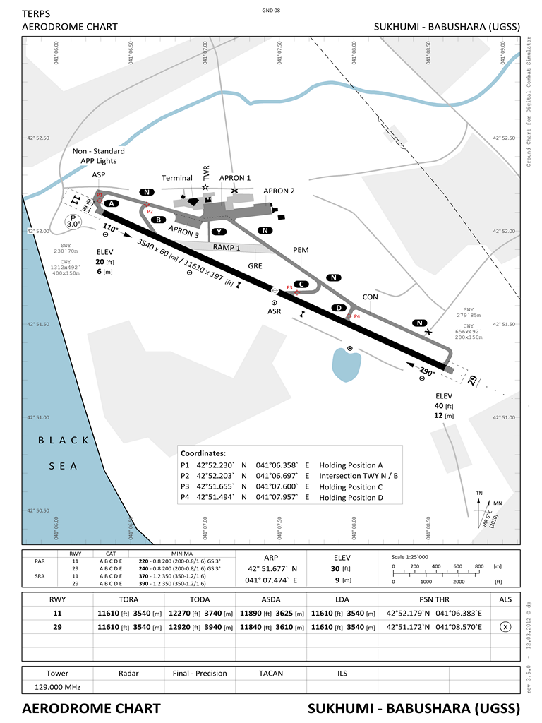
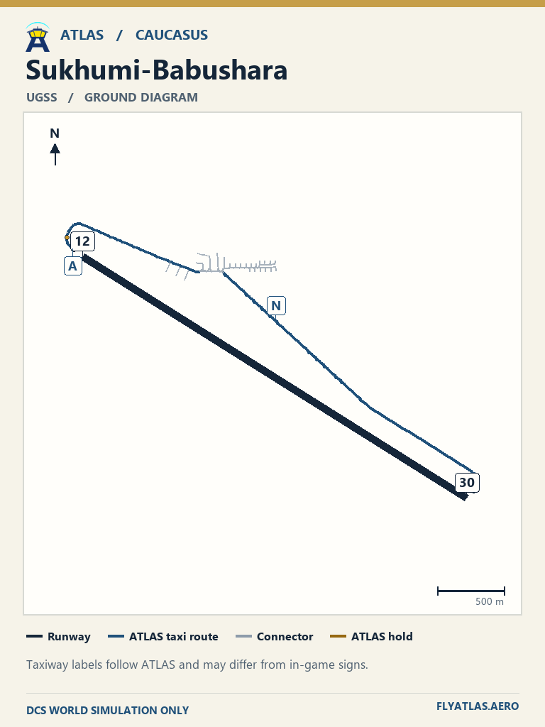
- Sukhumi-Babushara UGSS
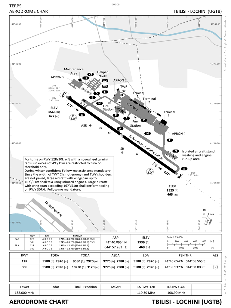
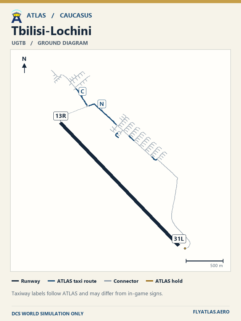
- Tbilisi-Lochini UGTB
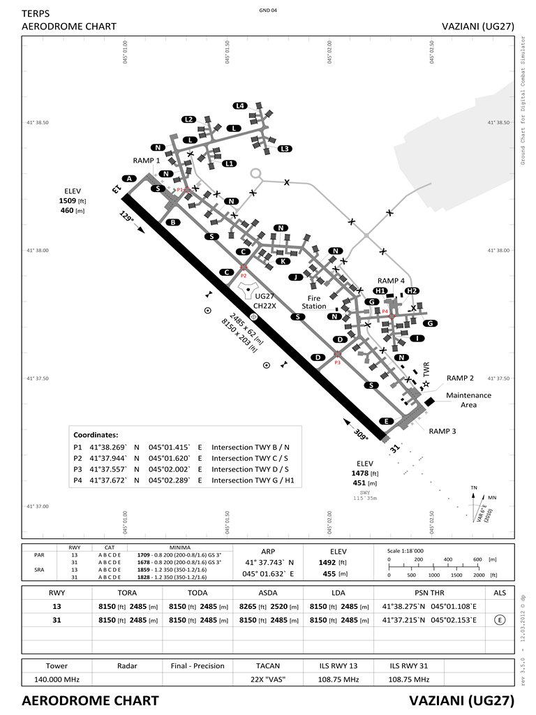
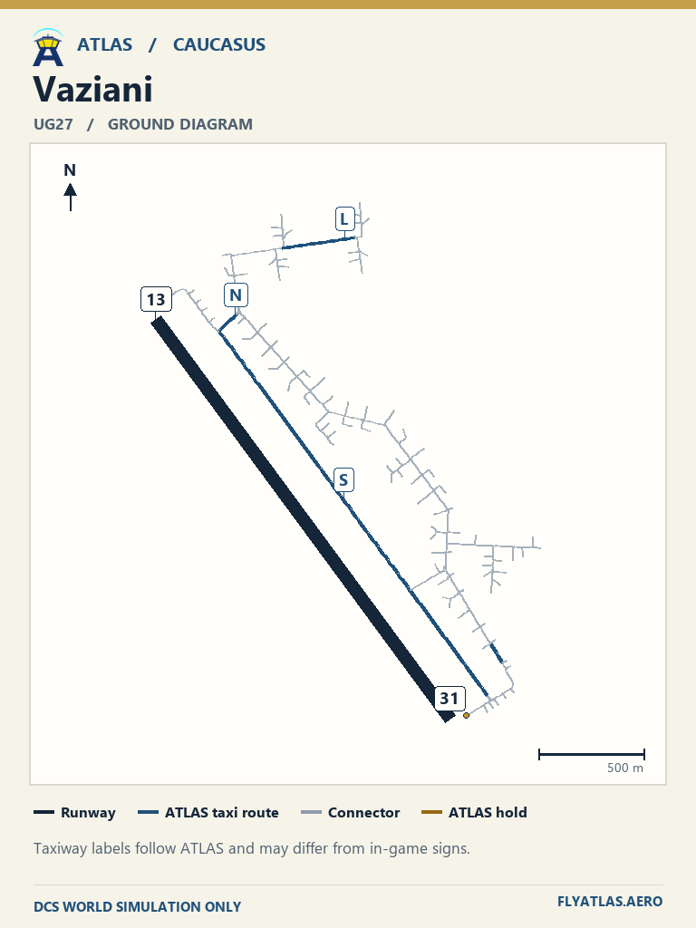
- Vaziani UG27
View 17 airfields
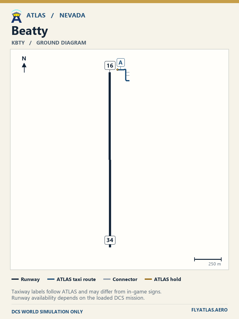
- Beatty KBTYNo source chart listedATLAS taxi diagram
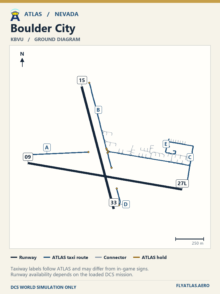
- Boulder City KBVU
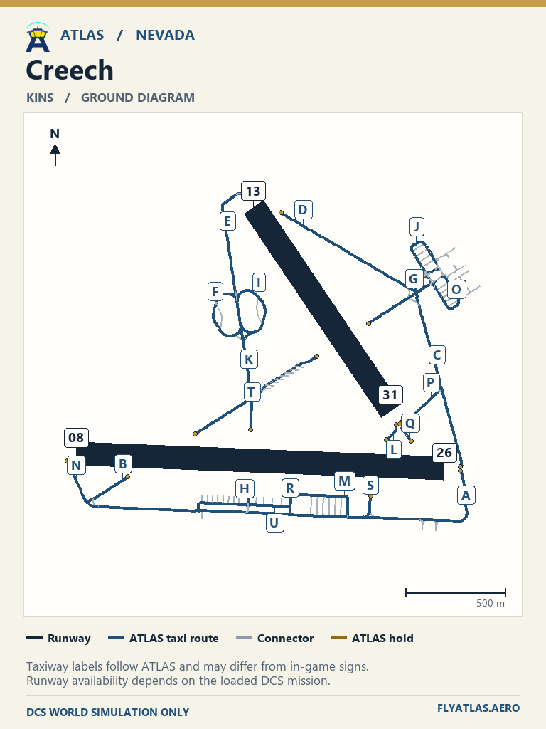
- Creech KINSNo source chart listedATLAS taxi diagram
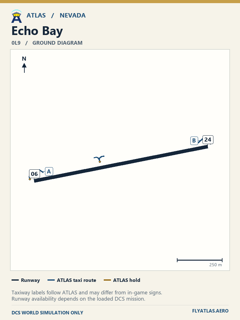
- Echo Bay 0L9No source chart listedATLAS taxi diagram
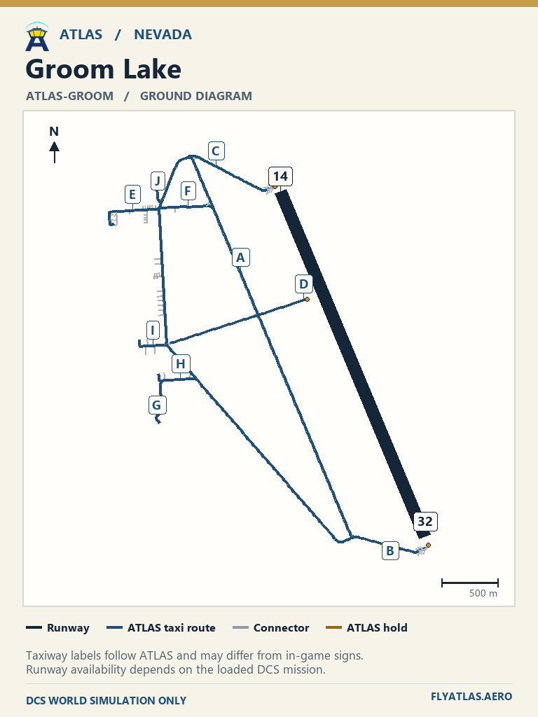
- Groom Lake ATLAS-GROOMNo source chart listedATLAS taxi diagram
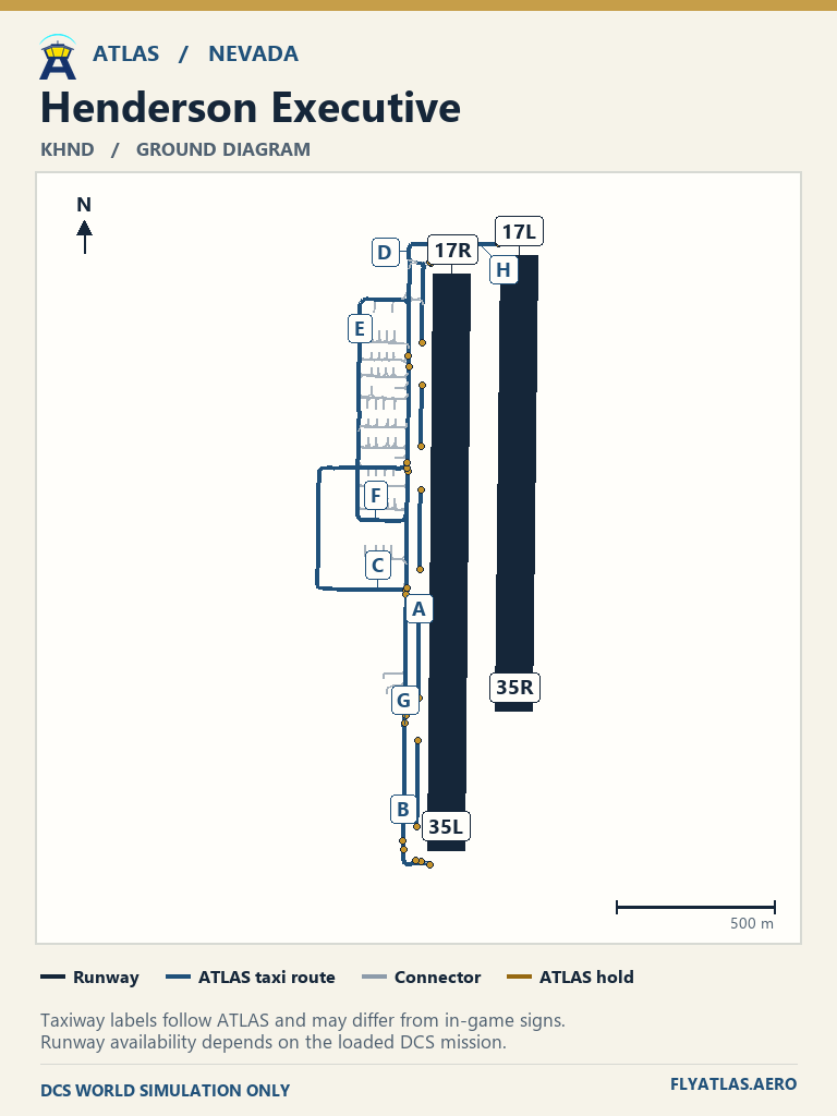
- Henderson Executive KHND
- Jean 0L7No source chart listedATLAS taxi diagram
- Laughlin KIFP
- Lincoln County 1L1No source chart listedATLAS taxi diagram
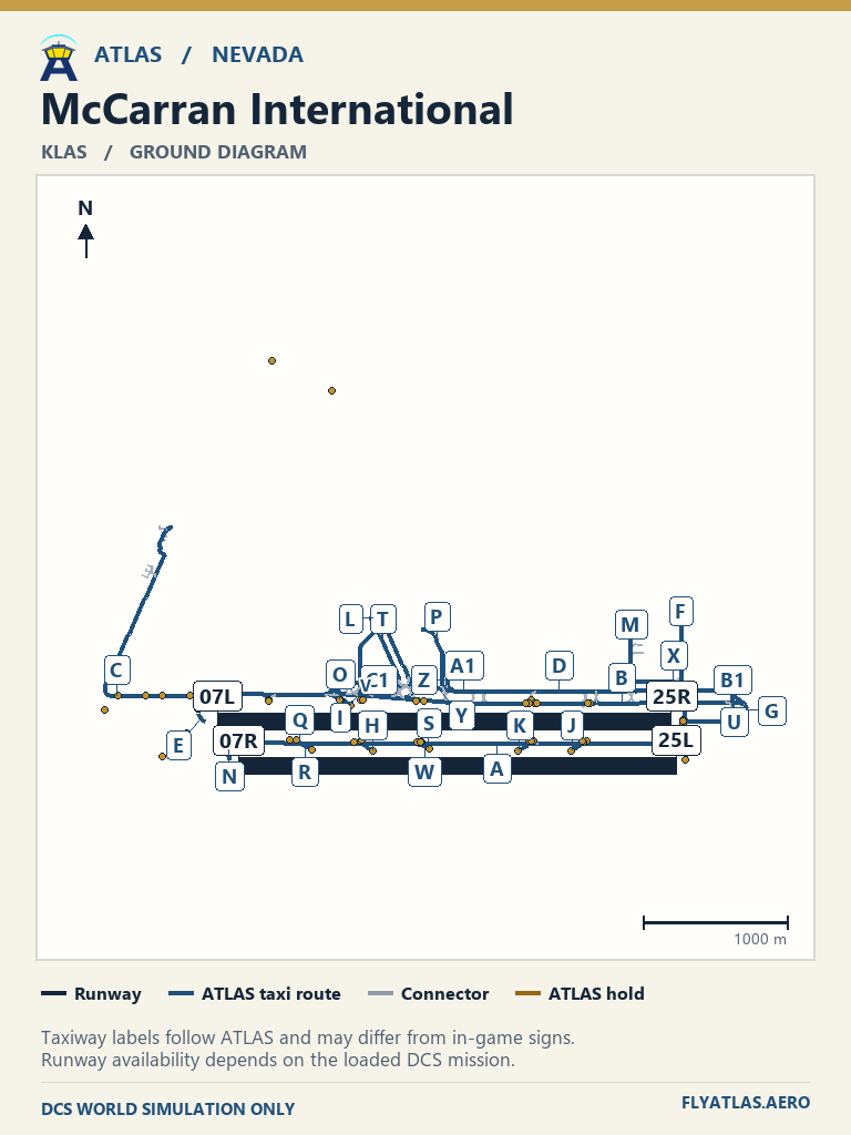
- McCarran International KLAS
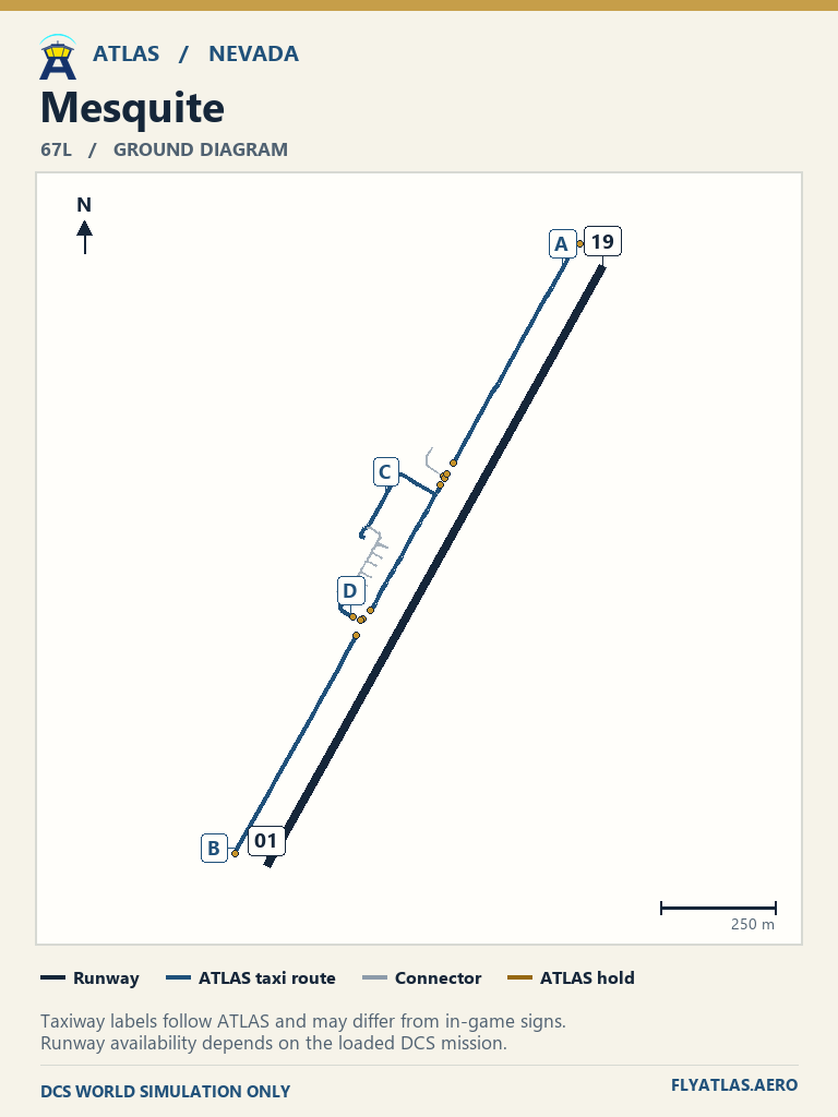
- Mesquite 67LNo source chart listedATLAS taxi diagram
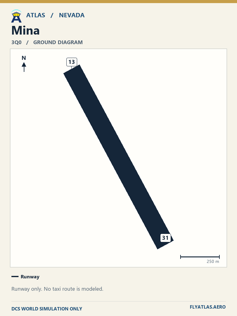
- Mina 3Q0 Runway onlyNo source chart listedATLAS taxi diagram
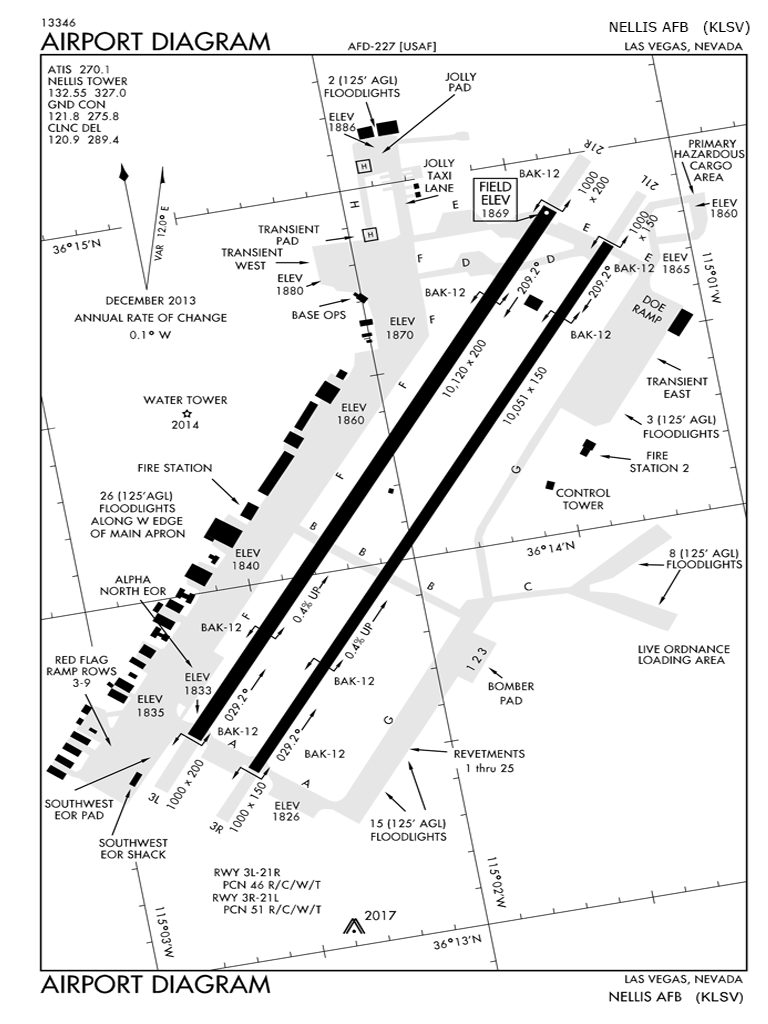
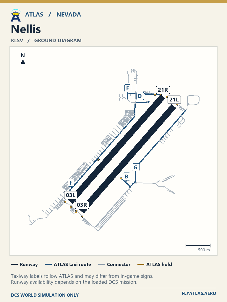
- Nellis KLSV
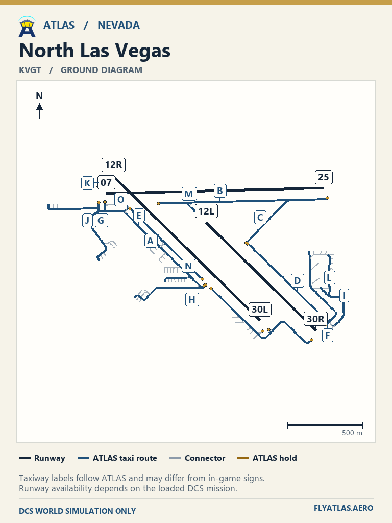
- North Las Vegas KVGT
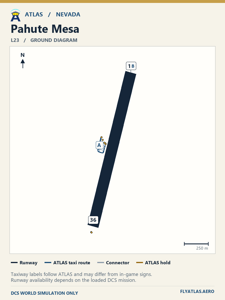
- Pahute Mesa L23No source chart listedATLAS taxi diagram
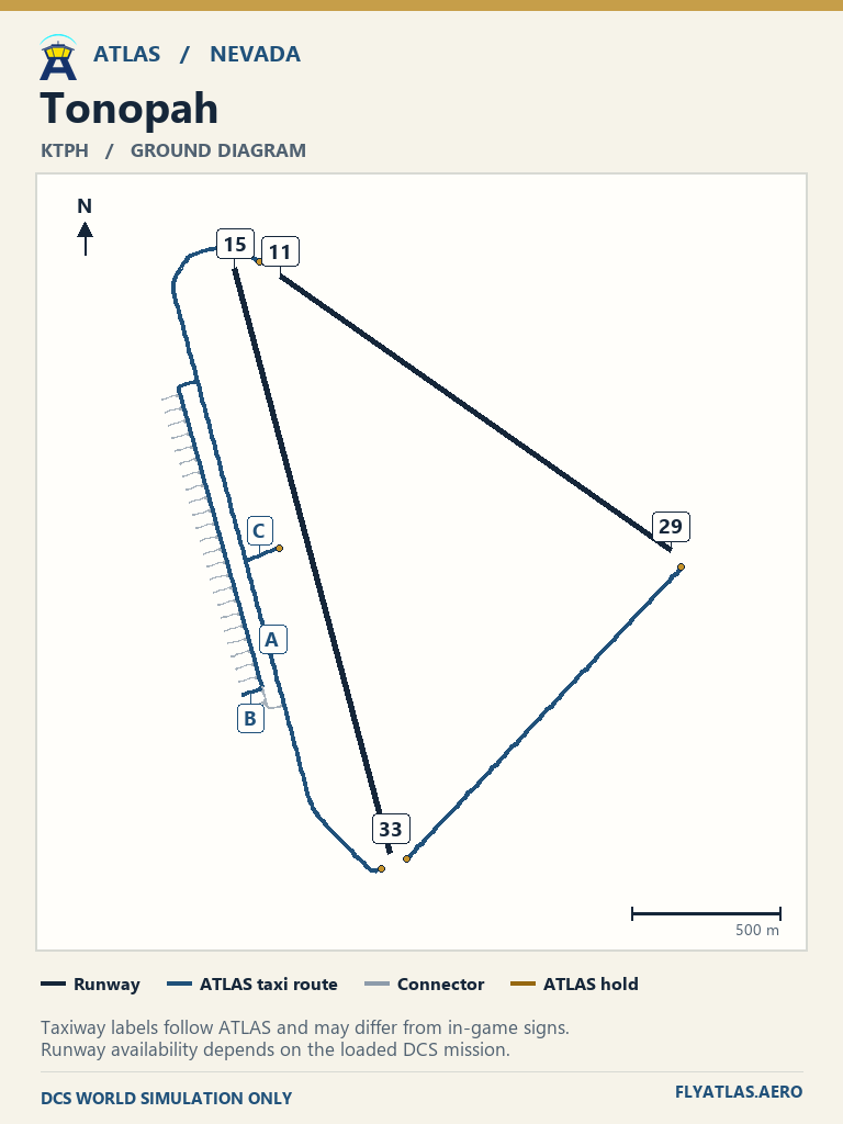
- Tonopah KTPH
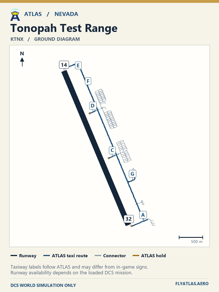
- Tonopah Test Range KTNX
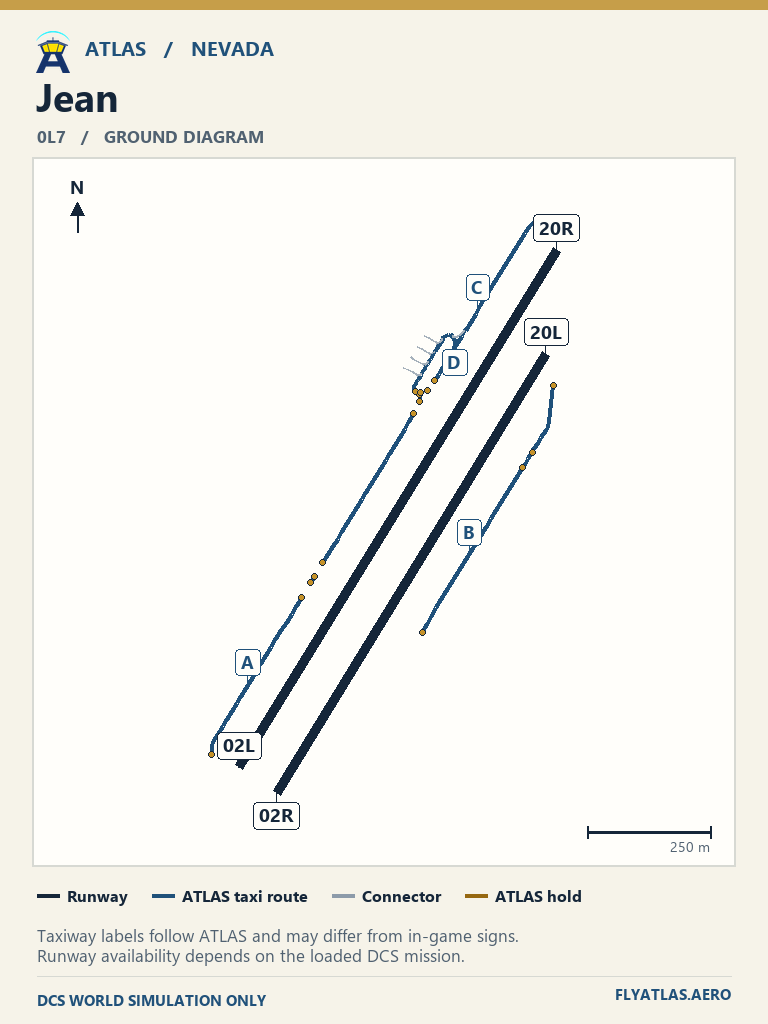
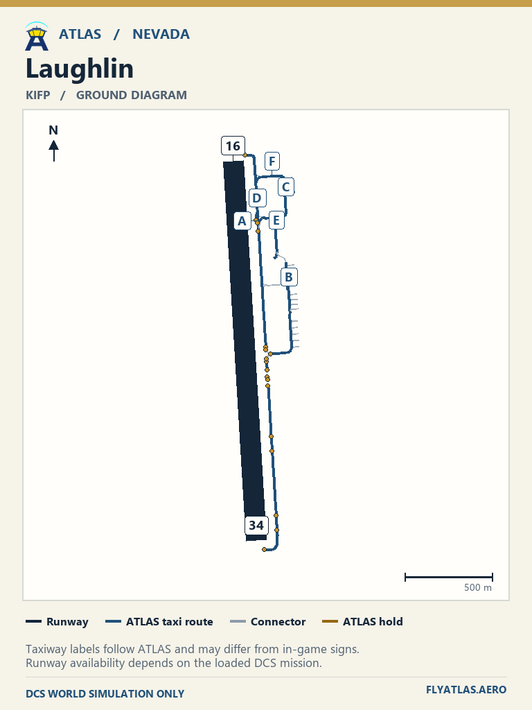
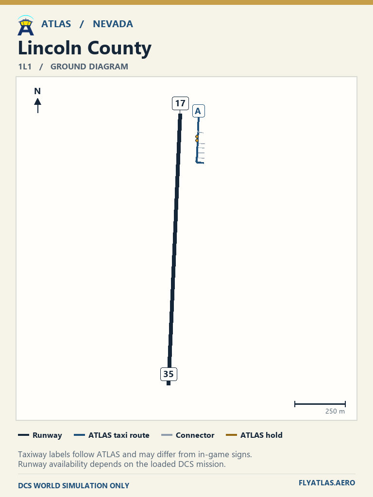
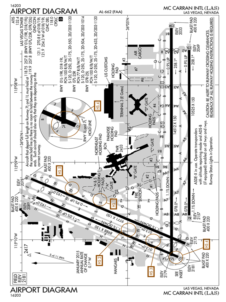
View 7 airfields
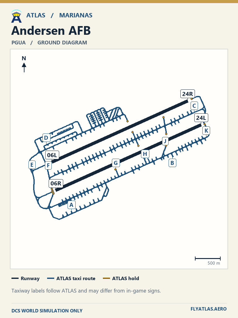
- Andersen AFB PGUA
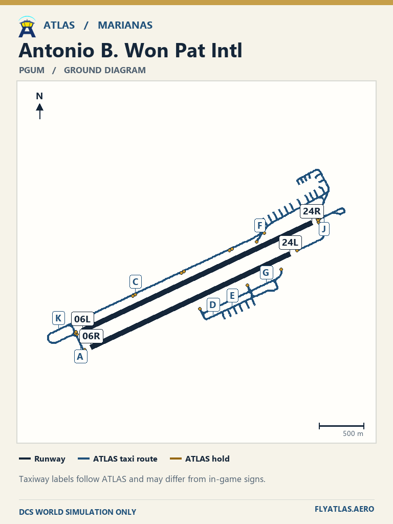
- Antonio B. Won Pat Intl PGUM
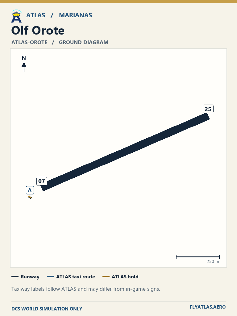
- Olf Orote ATLAS-OROTENo source chart listedATLAS taxi diagram
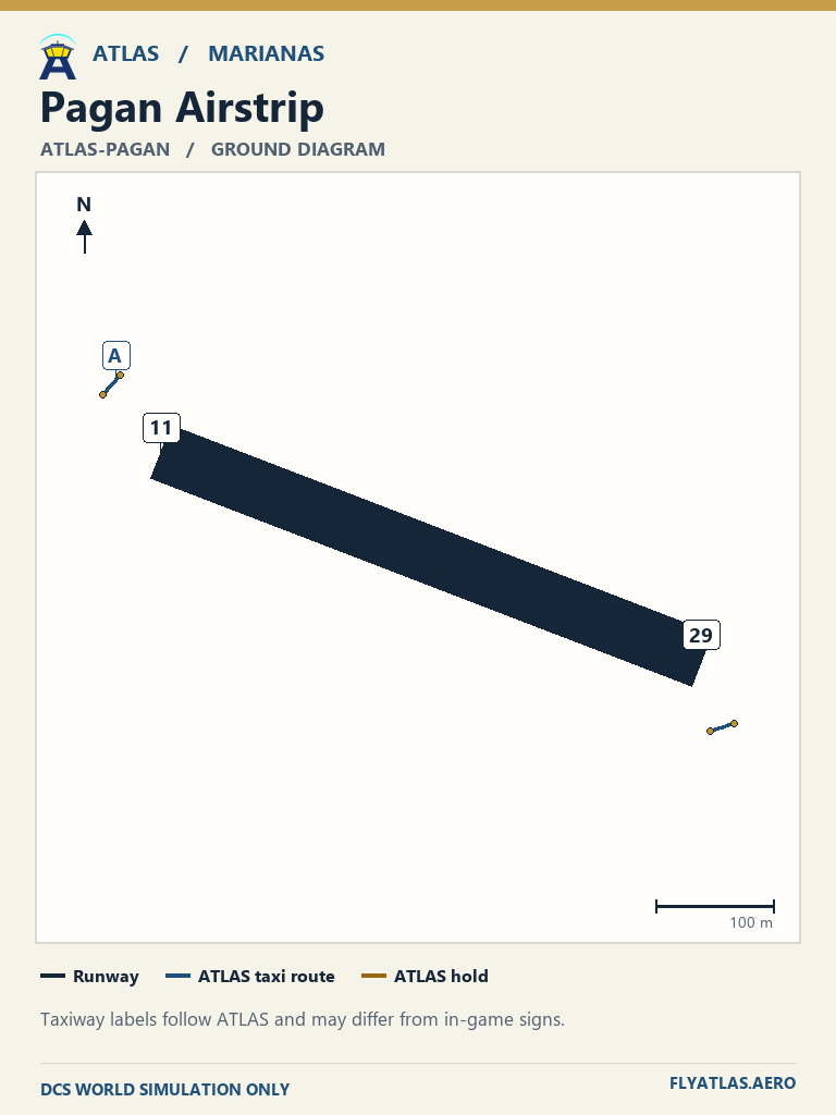
- Pagan Airstrip ATLAS-PAGANNo source chart listedATLAS taxi diagram
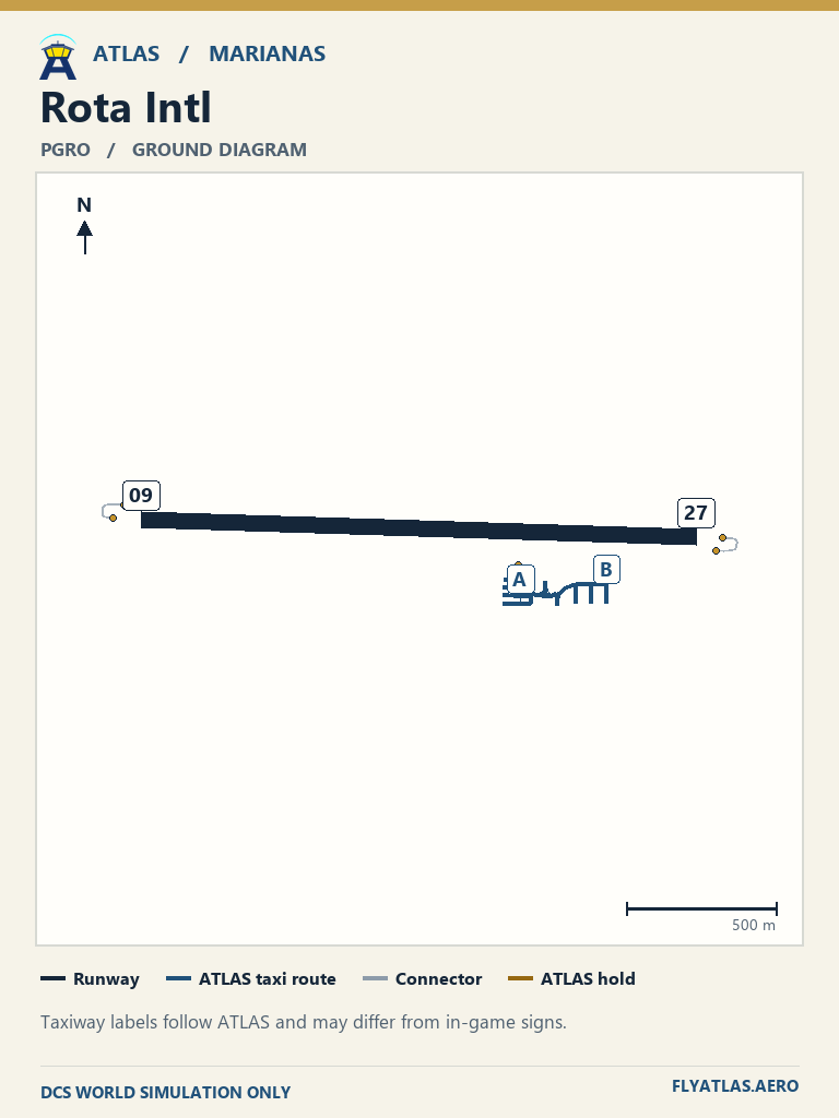
- Rota Intl PGRONo source chart listedATLAS taxi diagram
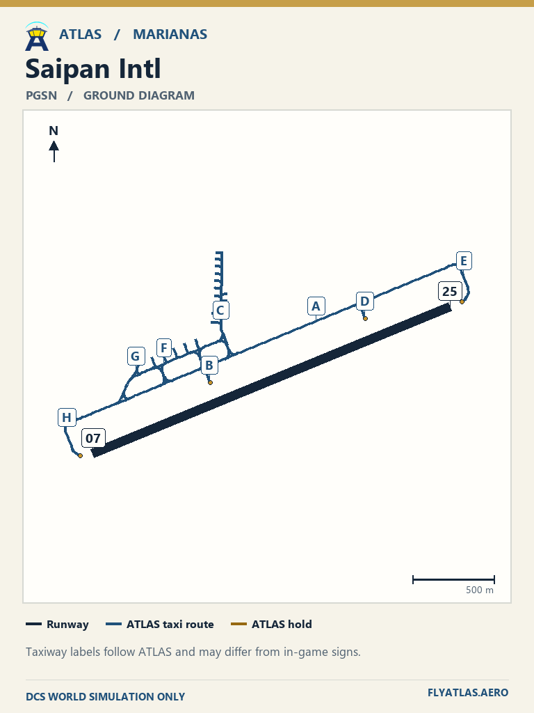
- Saipan Intl PGSN
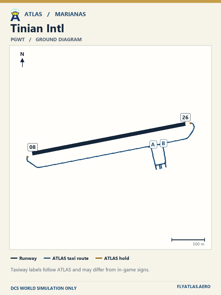
- Tinian Intl PGWTNo source chart listedATLAS taxi diagram
View 37 airfields
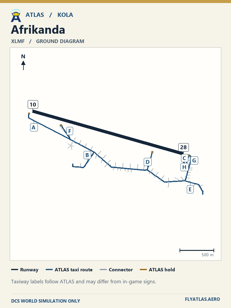
- Afrikanda XLMFNo source chart listedATLAS taxi diagram
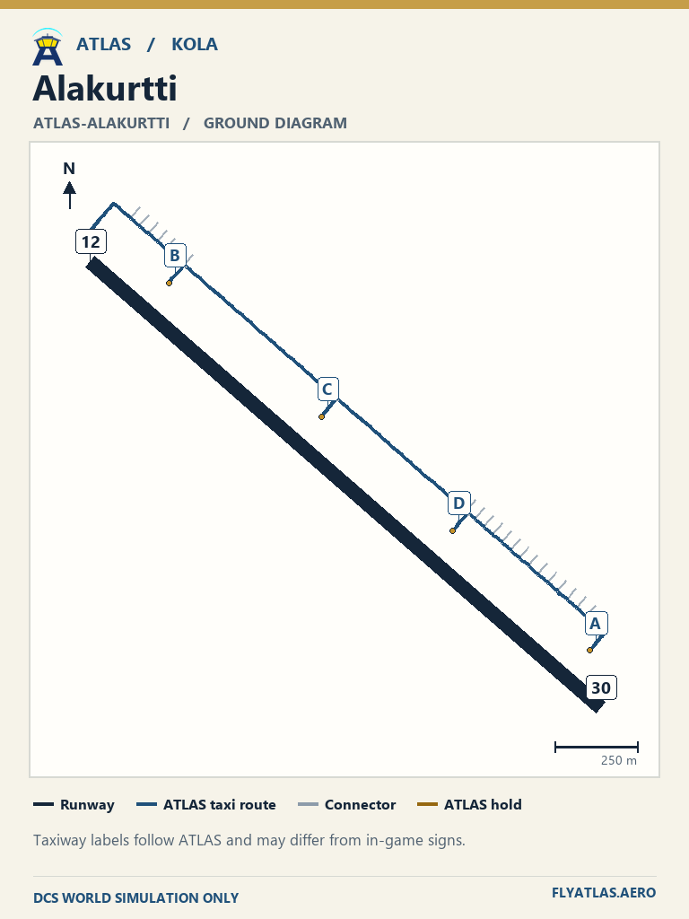
- Alakurtti ATLAS-ALAKURTTINo source chart listedATLAS taxi diagram
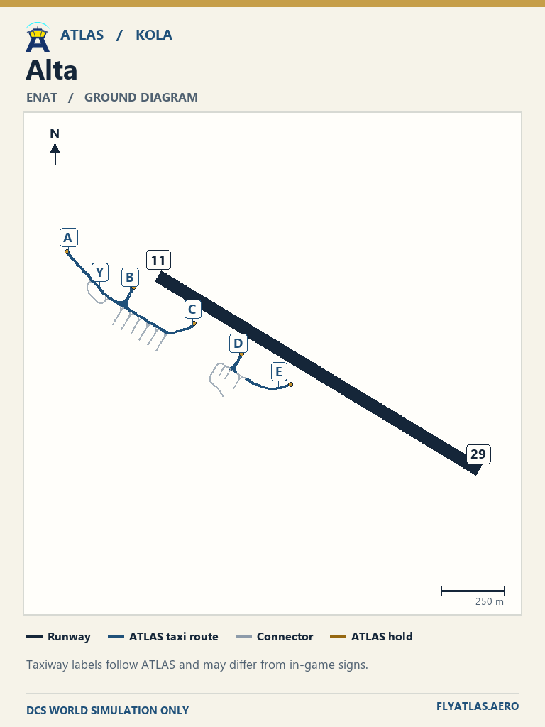
- Alta ENAT
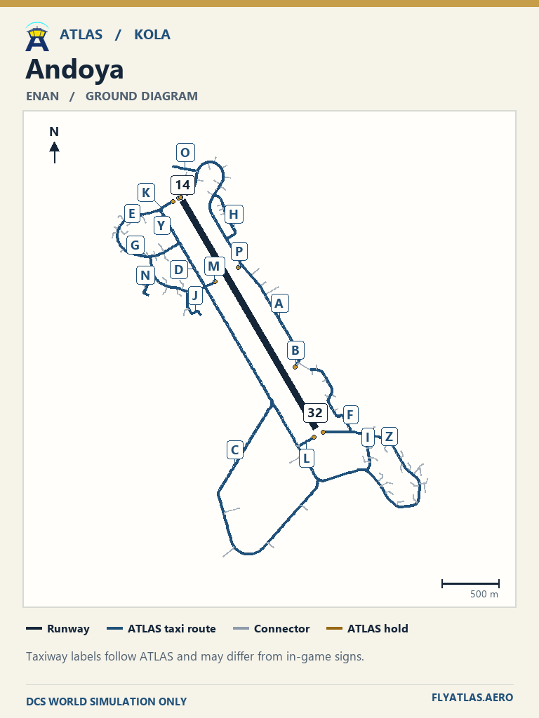
- Andoya ENAN
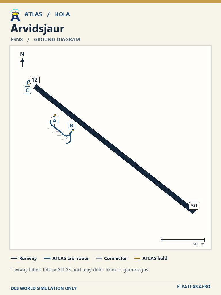
- Arvidsjaur ESNX
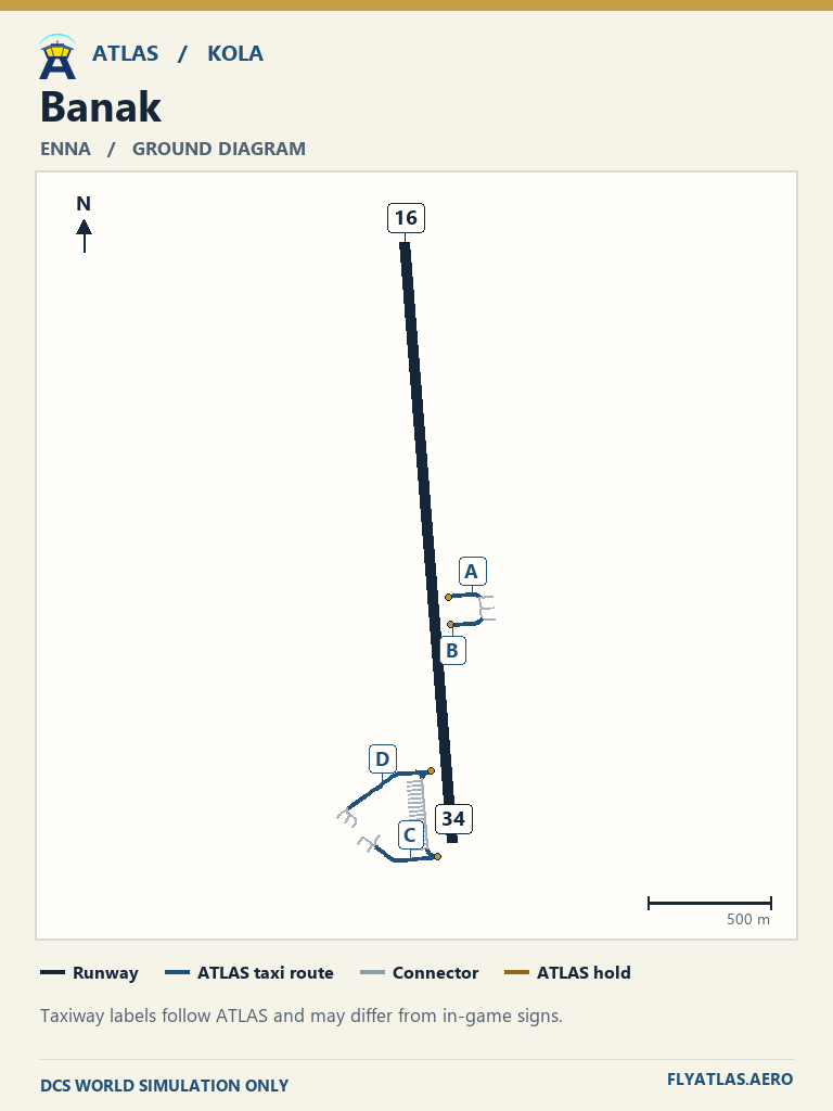
- Banak ENNA
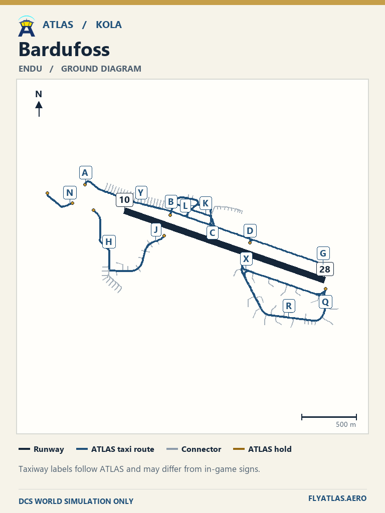
- Bardufoss ENDU
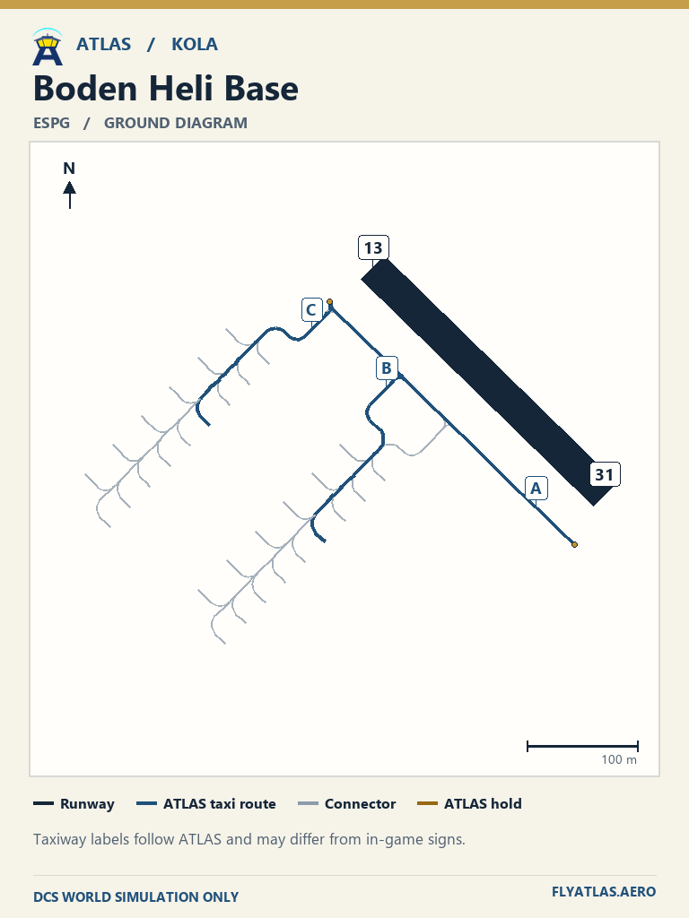
- Boden Heli Base ESPGNo source chart listedATLAS taxi diagram
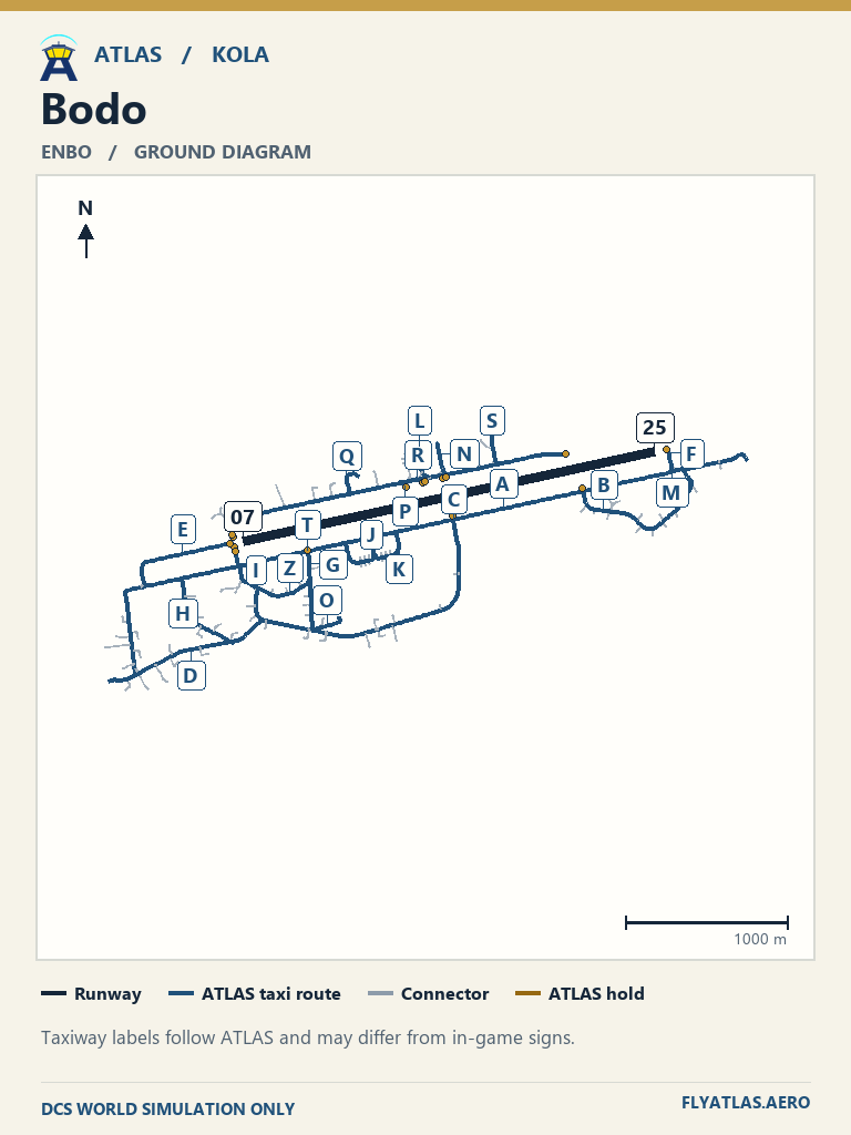
- Bodo ENBO
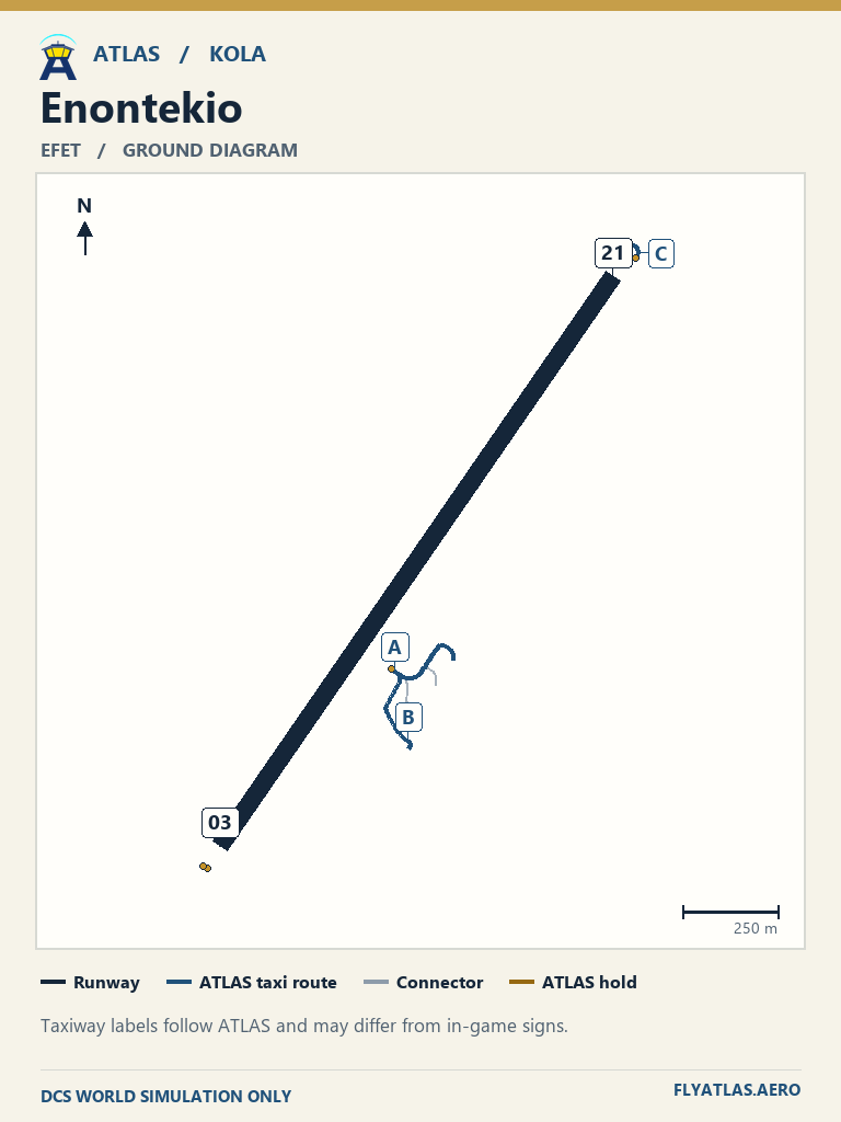
- Enontekio EFET
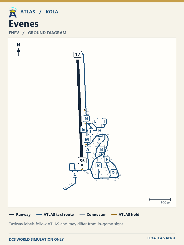
- Evenes ENEV
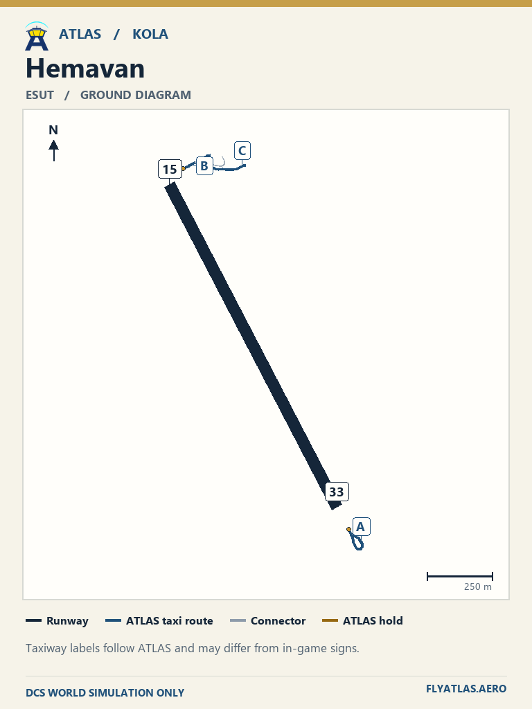
- Hemavan ESUT
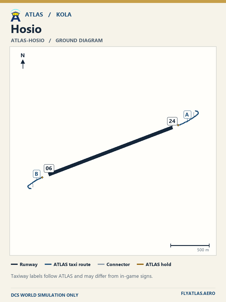
- Hosio ATLAS-HOSIONo source chart listedATLAS taxi diagram
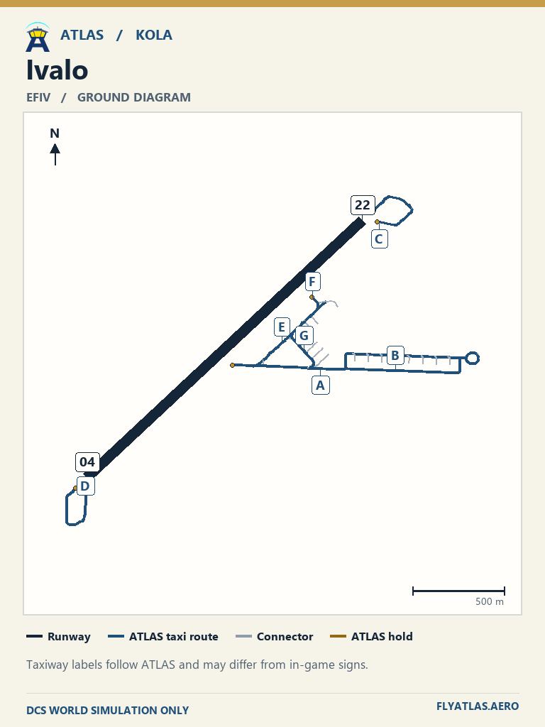
- Ivalo EFIV
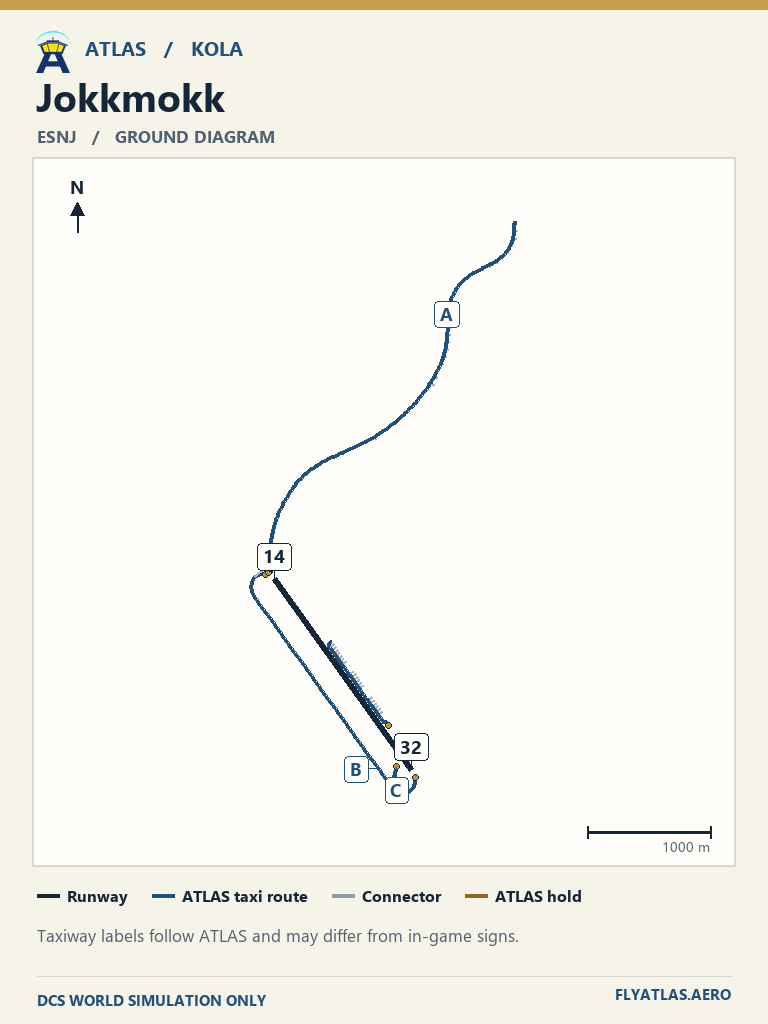
- Jokkmokk ESNJNo source chart listedATLAS taxi diagram
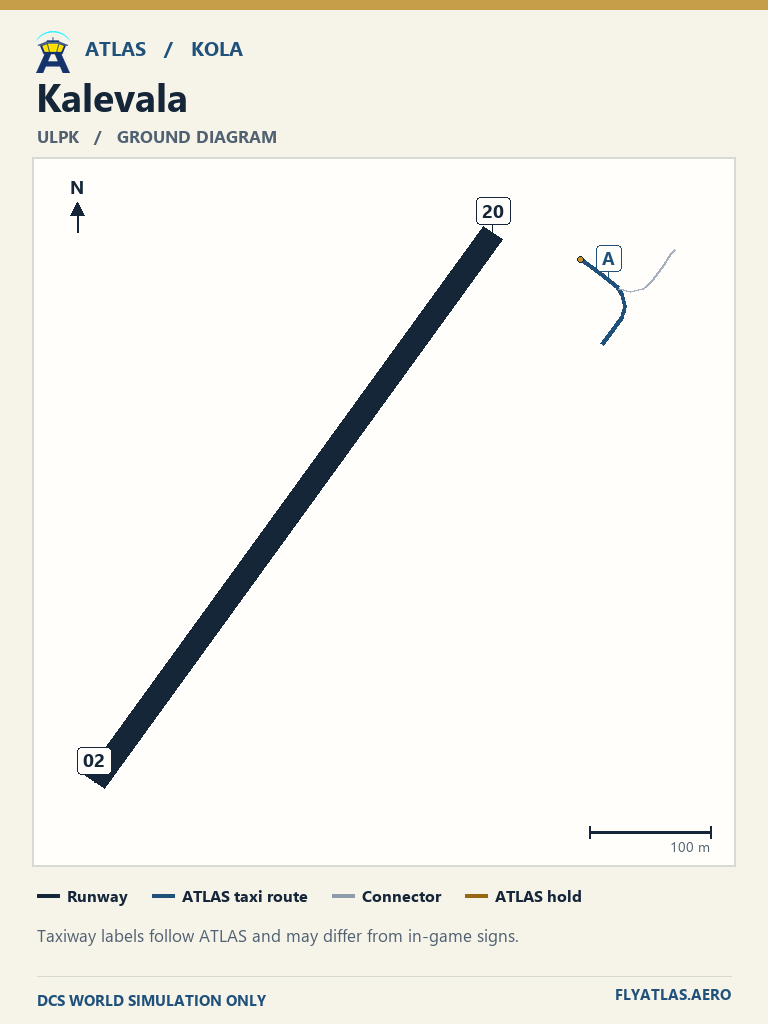
- Kalevala ULPKNo source chart listedATLAS taxi diagram
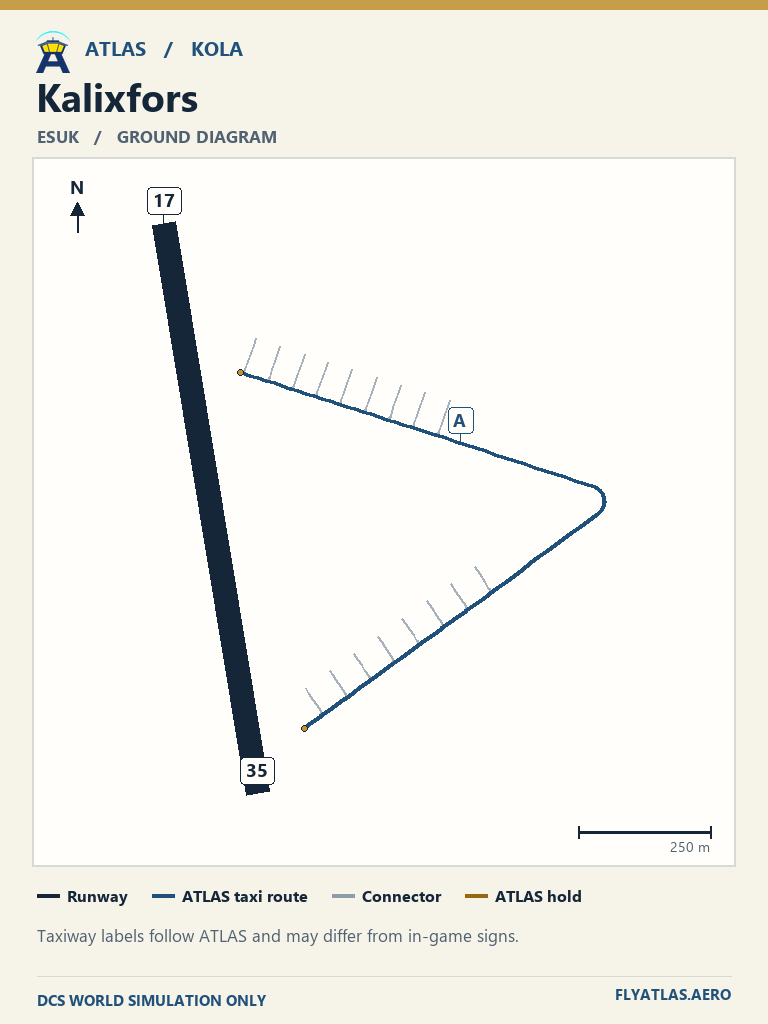
- Kalixfors ESUKNo source chart listedATLAS taxi diagram
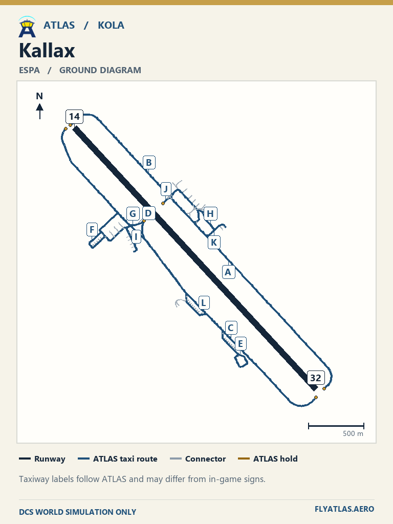
- Kallax ESPA
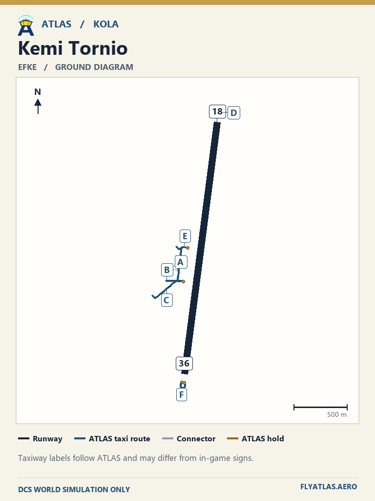
- Kemi Tornio EFKE
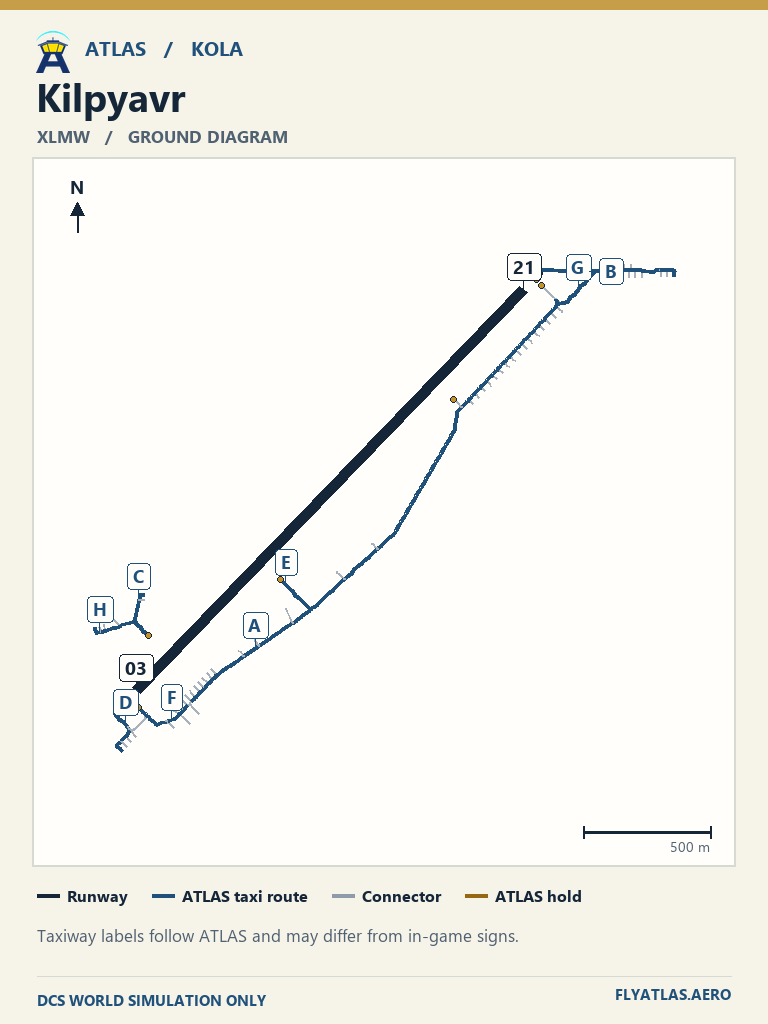
- Kilpyavr XLMWNo source chart listedATLAS taxi diagram
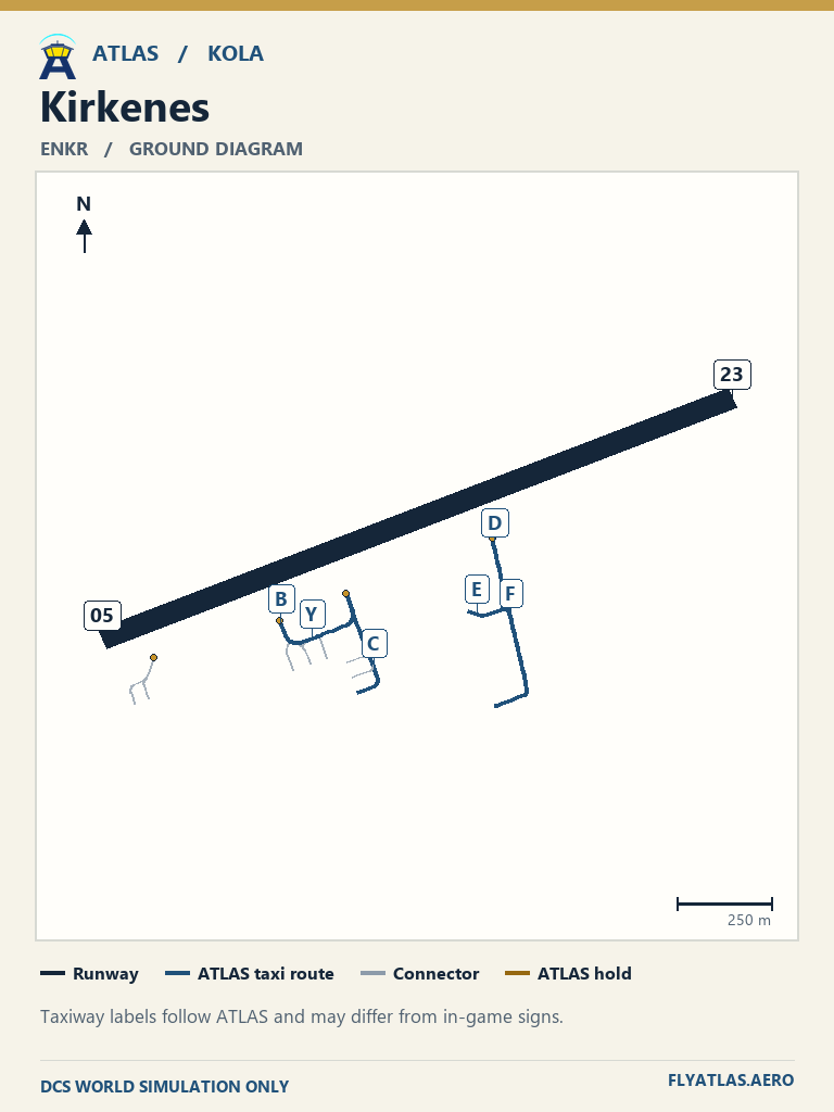
- Kirkenes ENKR
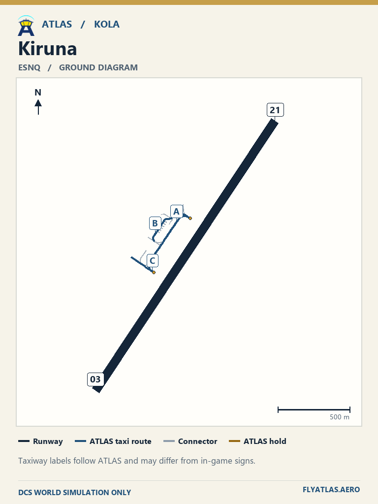
- Kiruna ESNQ
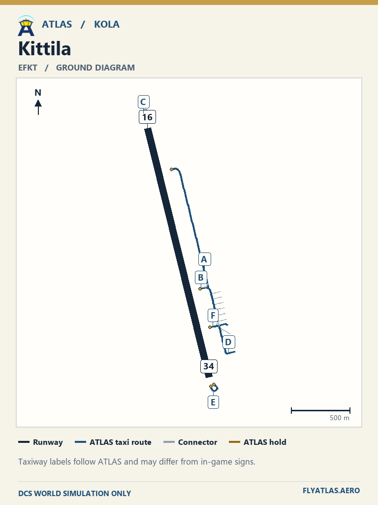
- Kittila EFKT
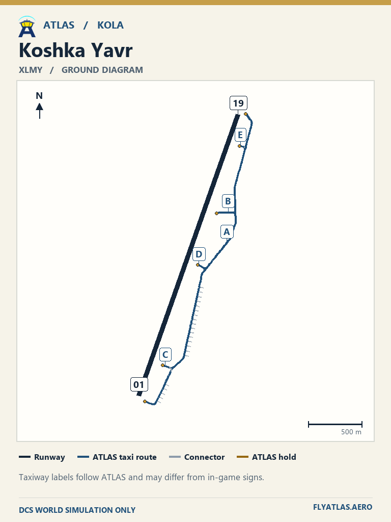
- Koshka Yavr XLMYNo source chart listedATLAS taxi diagram
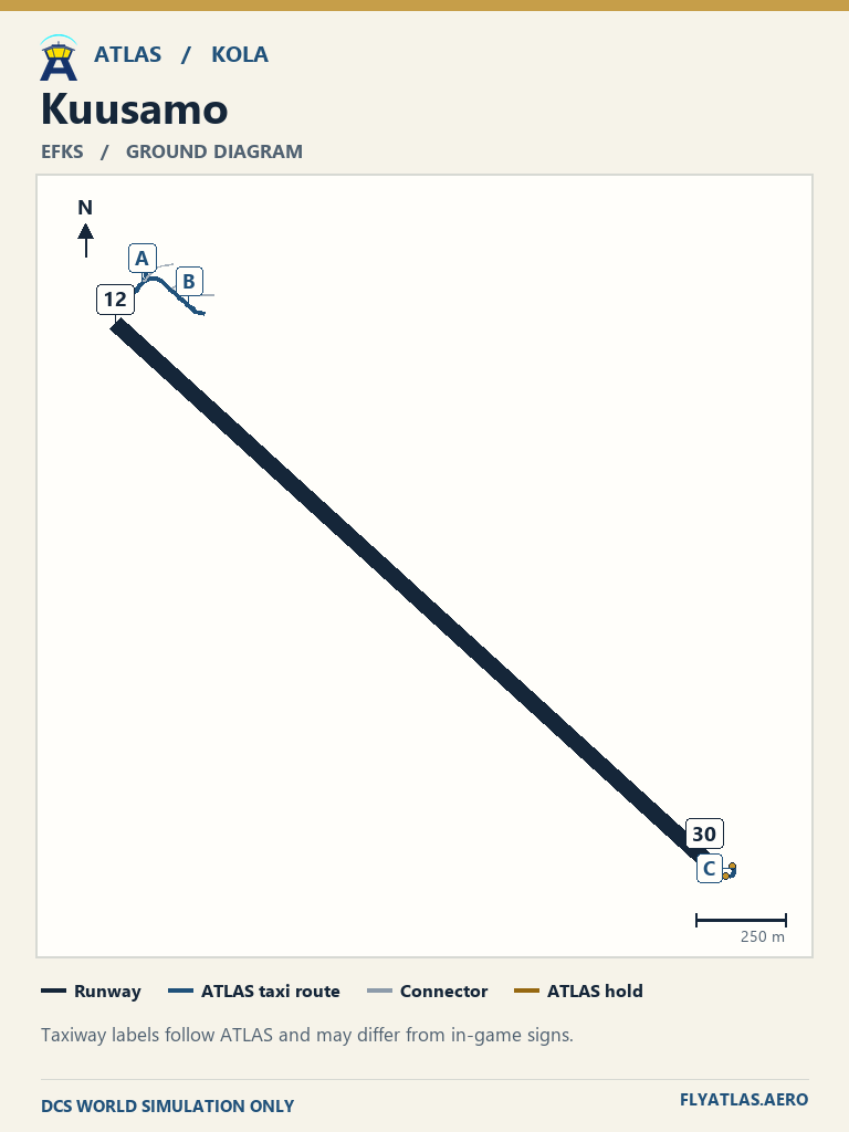
- Kuusamo EFKS
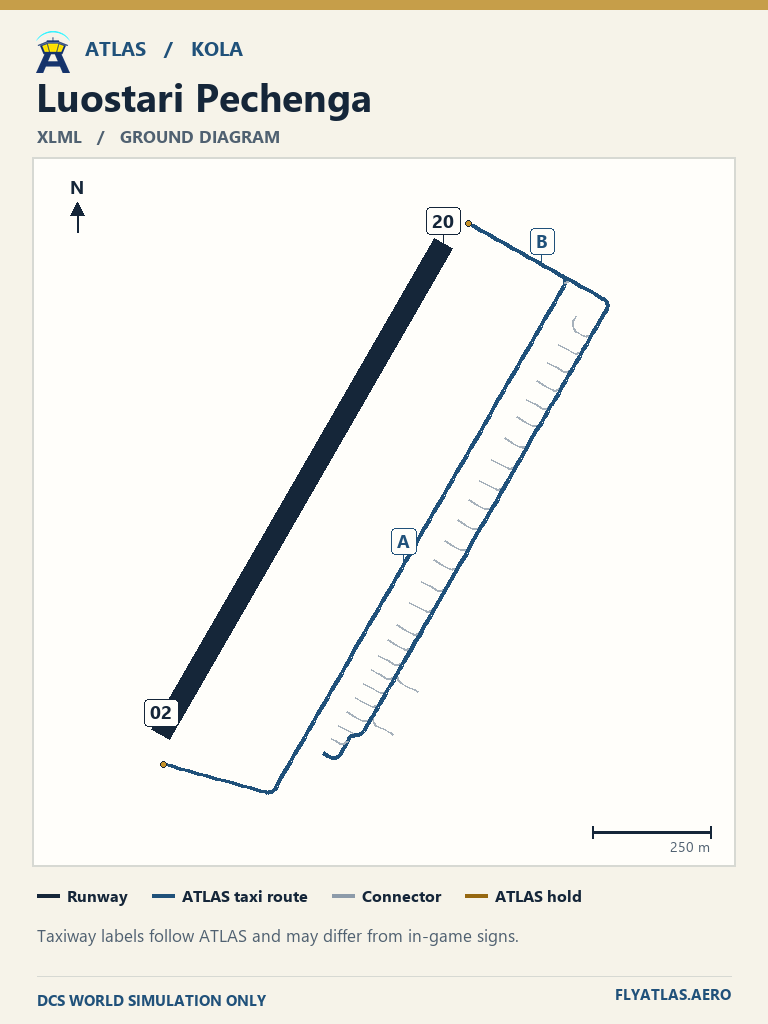
- Luostari Pechenga XLMLNo source chart listedATLAS taxi diagram
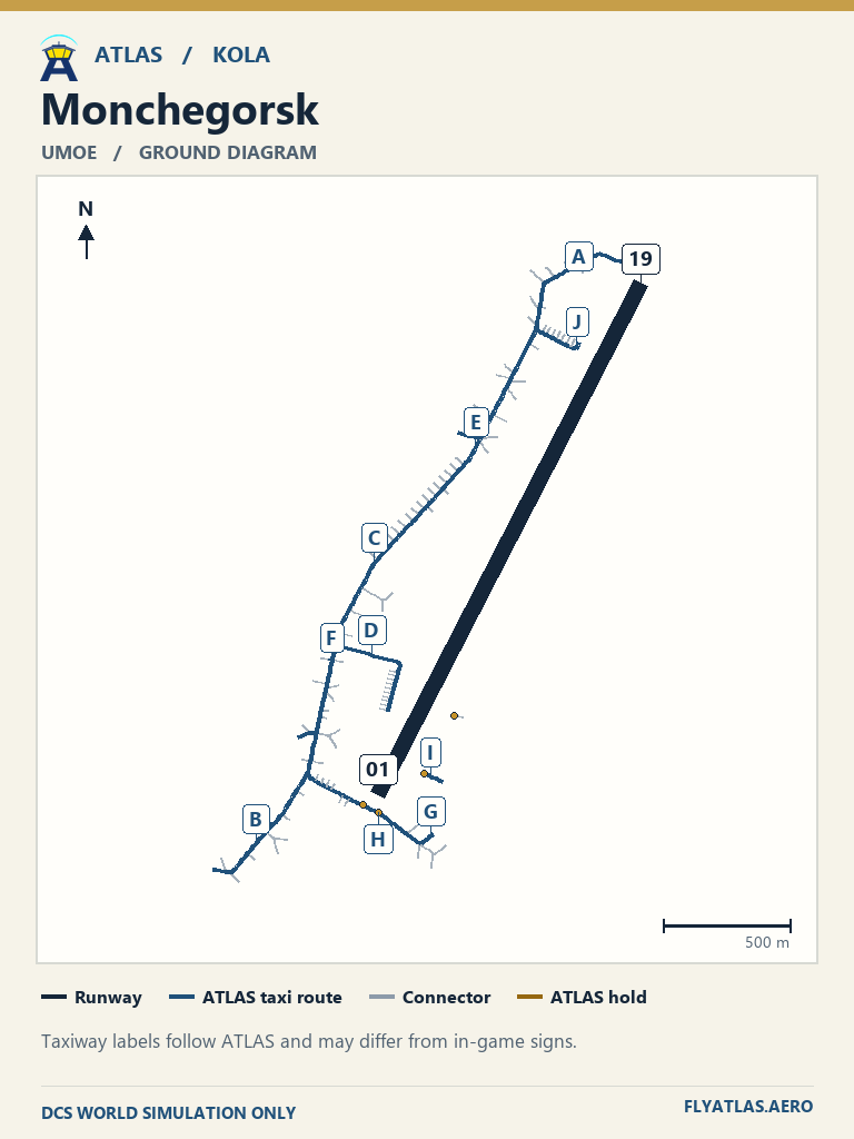
- Monchegorsk UMOENo source chart listedATLAS taxi diagram
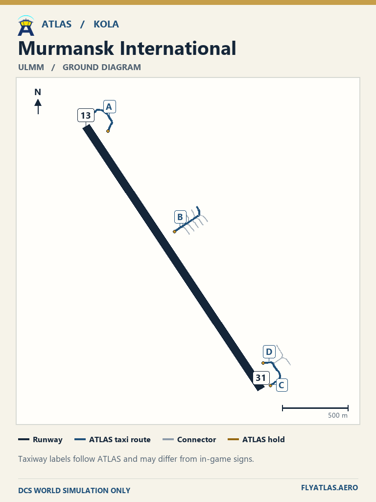
- Murmansk International ULMMNo source chart listedATLAS taxi diagram
- Olenya UOLENo source chart listedATLAS taxi diagram
- Poduzhemye XLPUNo source chart listedATLAS taxi diagram
- Rovaniemi EFRO
- Severomorsk-1 ULAKNo source chart listedATLAS taxi diagram
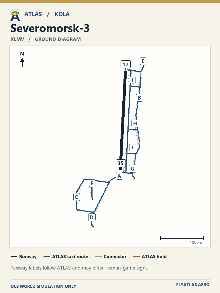
- Severomorsk-3 XLMVNo source chart listedATLAS taxi diagram
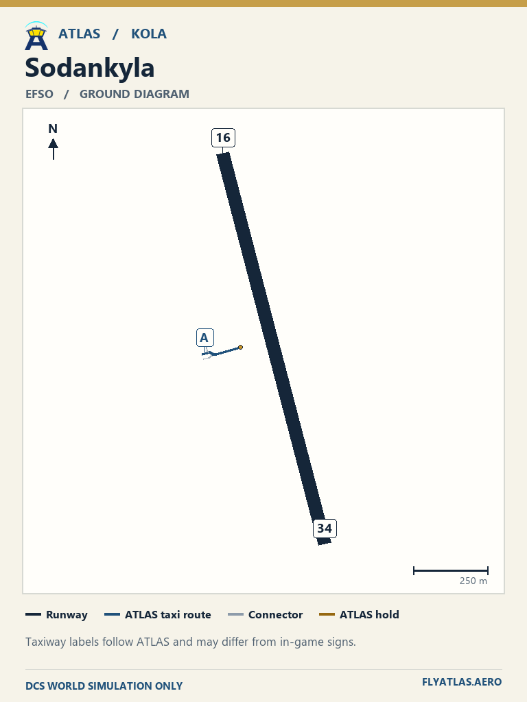
- Sodankyla EFSONo source chart listedATLAS taxi diagram
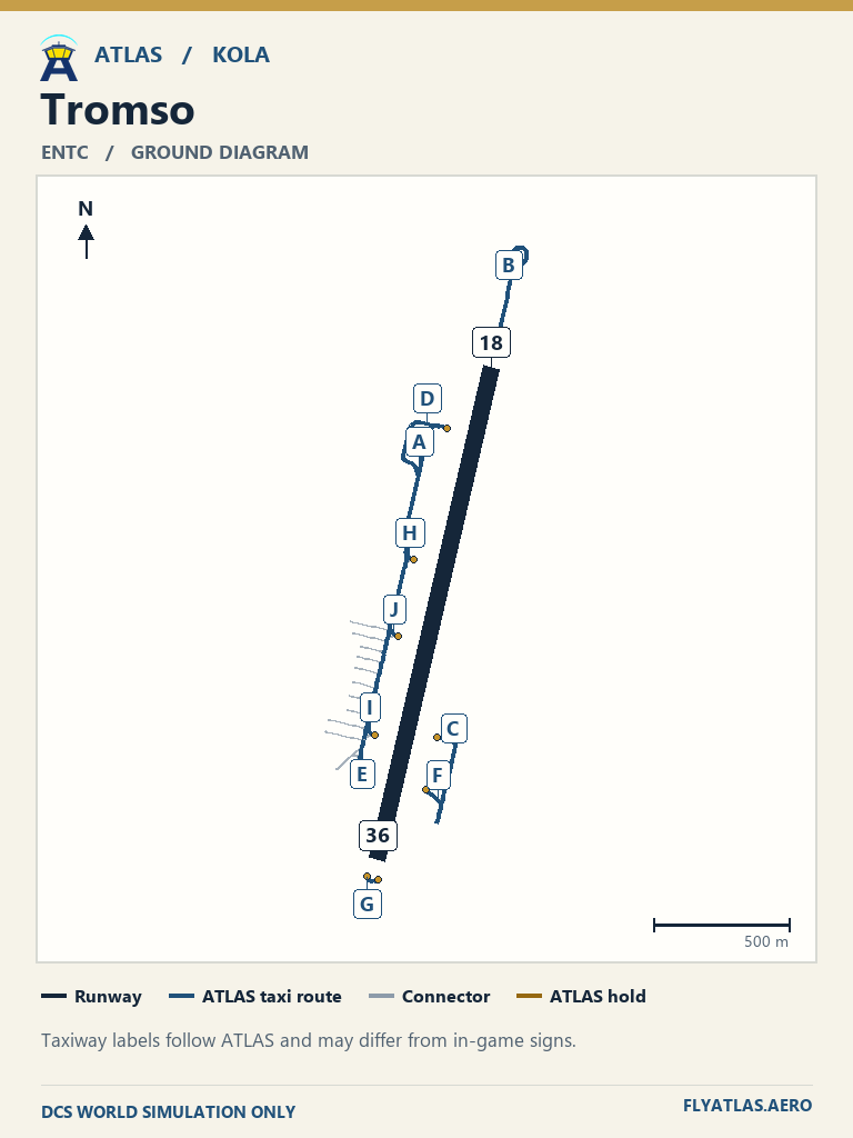
- Tromso ENTC
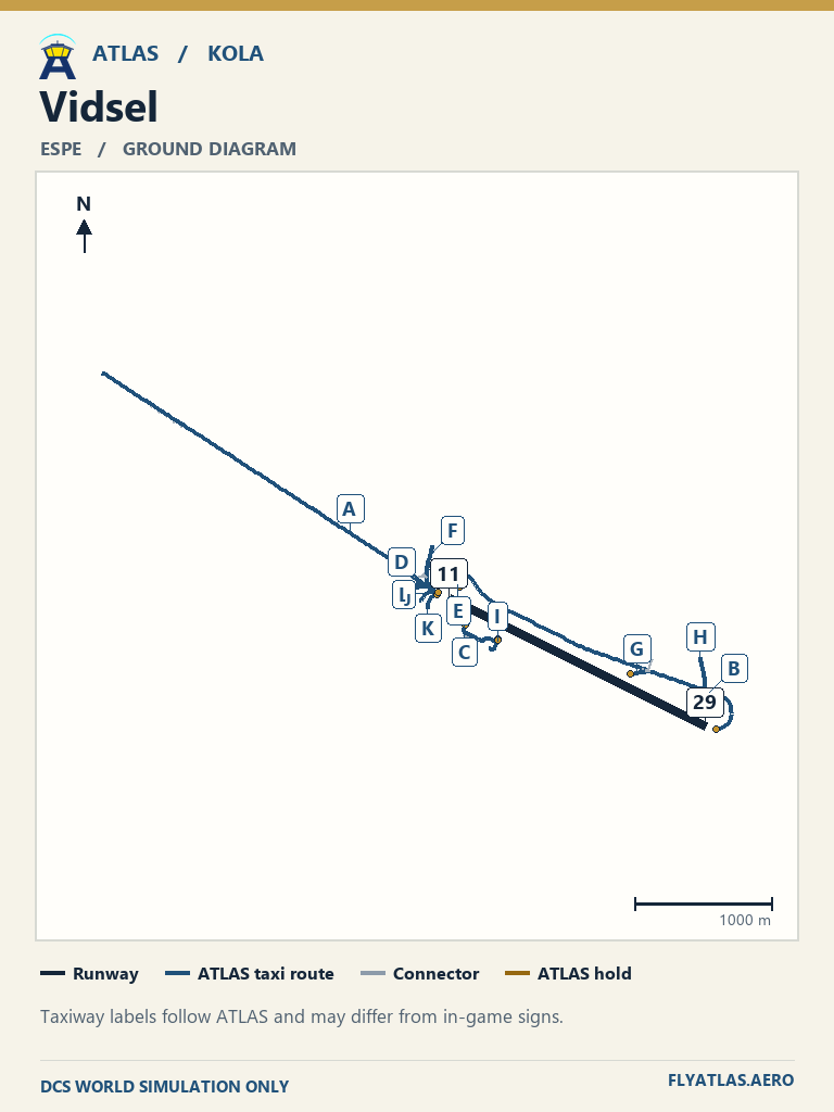
- Vidsel ESPENo source chart listedATLAS taxi diagram
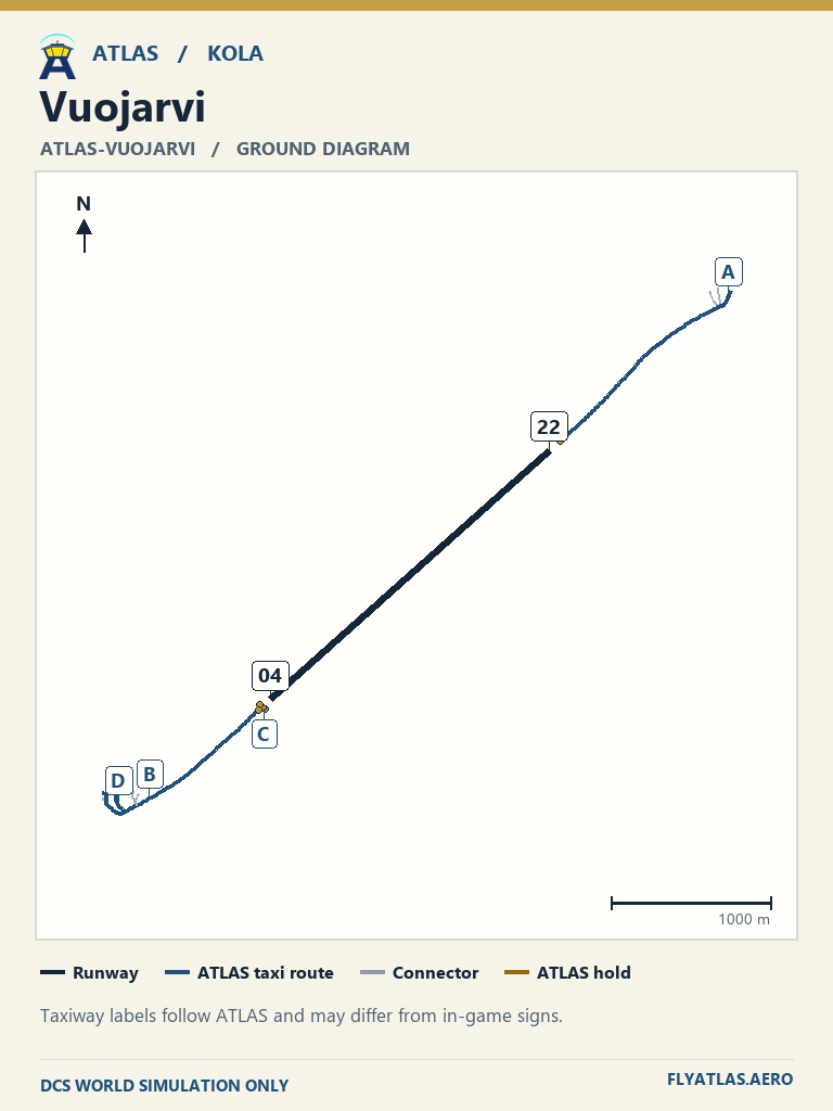
- Vuojarvi ATLAS-VUOJARVINo source chart listedATLAS taxi diagram
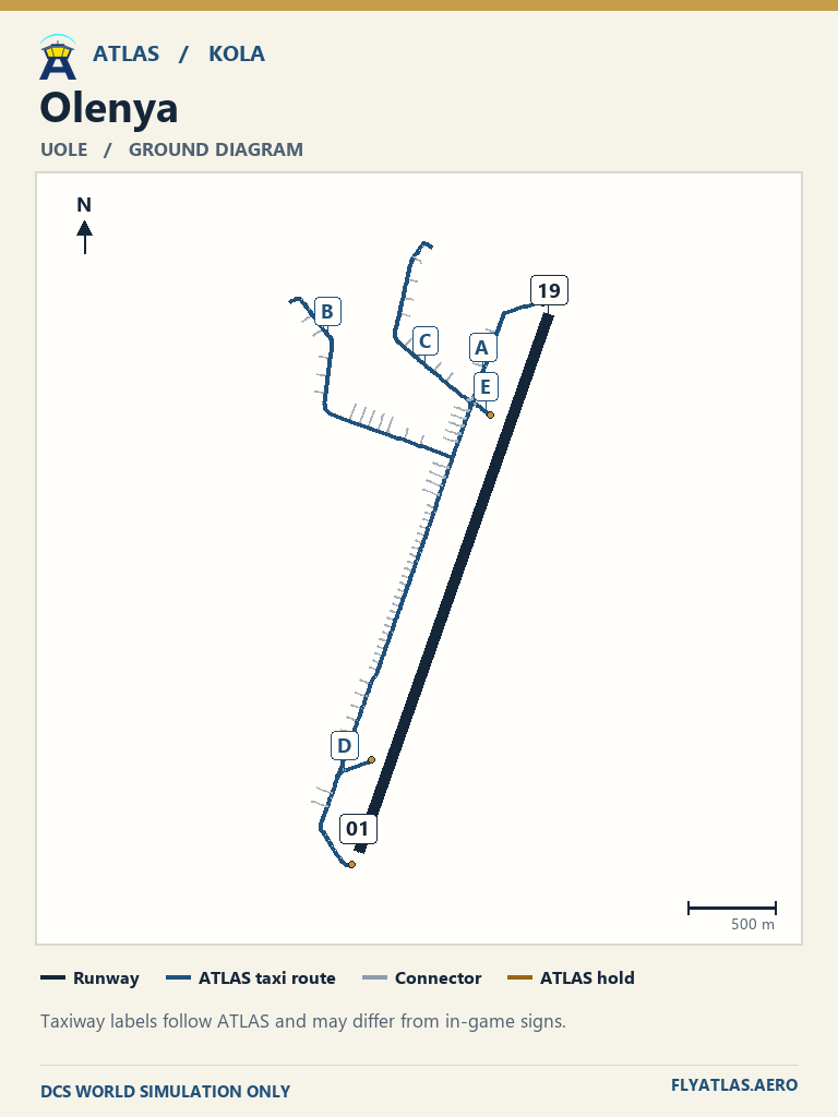
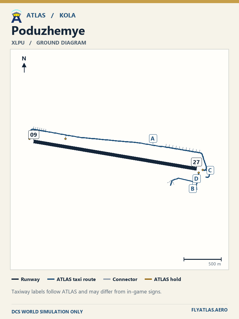
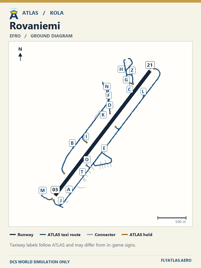
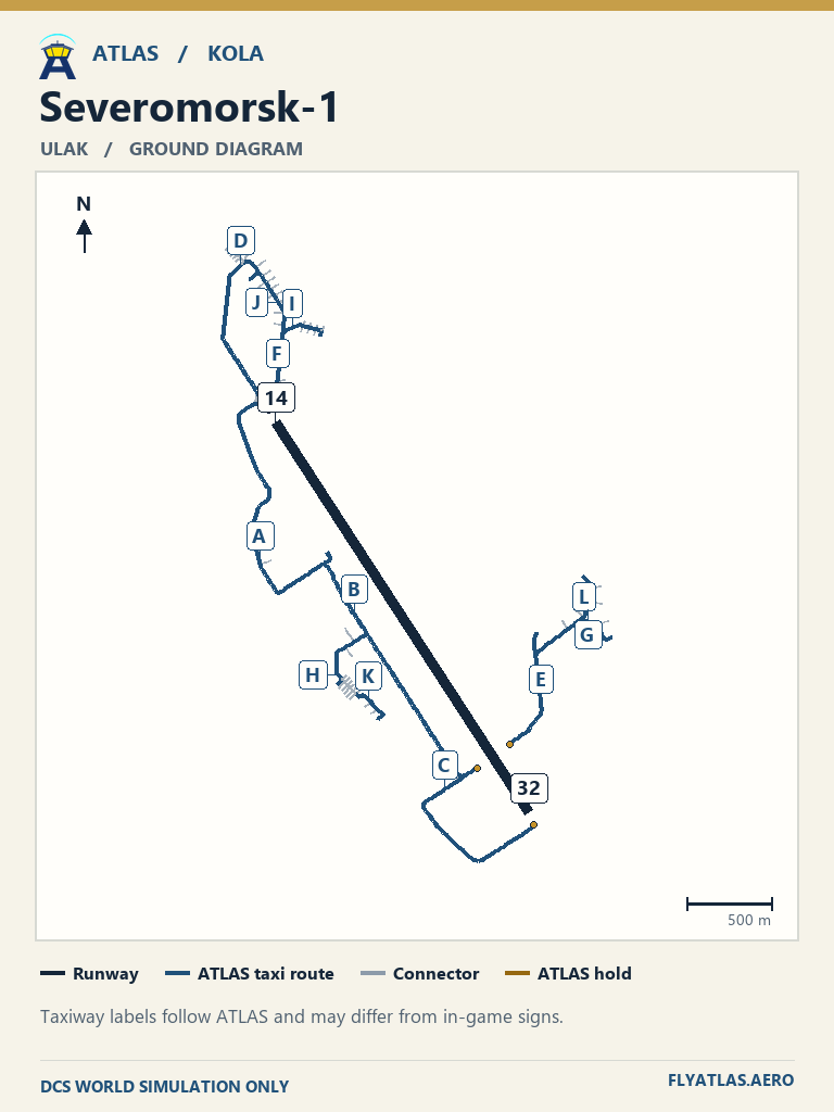
View 80 airfields
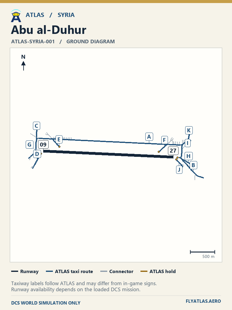
- Abu al-Duhur ATLAS-SYRIA-001No source chart listedATLAS taxi diagram
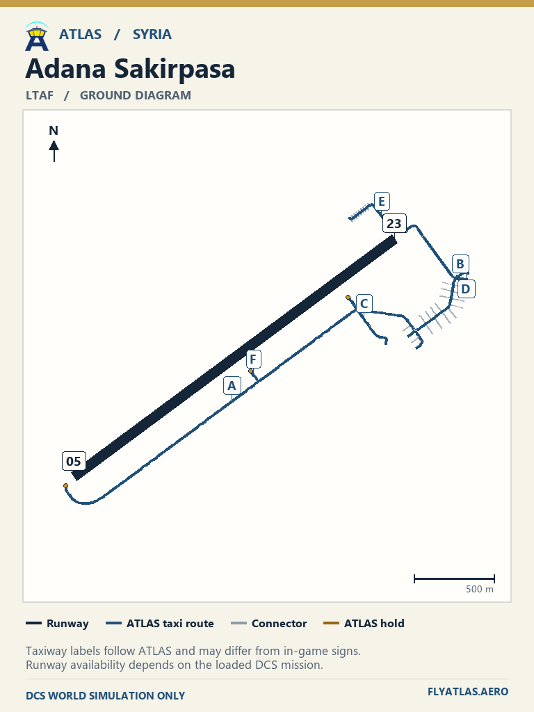
- Adana Sakirpasa LTAF
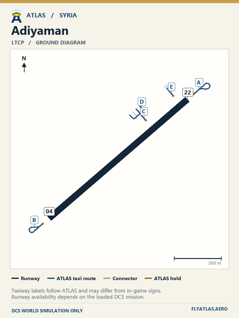
- Adiyaman LTCP
- Akrotiri LCRANo source chart listedATLAS taxi diagram
- Al Qusayr ATLAS-SYRIA-003No source chart listedATLAS taxi diagram
- Al-Dumayr ATLAS-SYRIA-009No source chart listedATLAS taxi diagram
- Aleppo OSAPNo source chart listedATLAS taxi diagram
- An Nasiriyah ATLAS-SYRIA-004No source chart listedATLAS taxi diagram
- Bassel Al-Assad OSLKNo source chart listedATLAS taxi diagram
- Beirut-Rafic Hariri OLBANo source chart listedATLAS taxi diagram
- Ben Gurion LLBGNo source chart listedATLAS taxi diagram
- Chukurova LTDB
- Damascus OSDINo source chart listedATLAS taxi diagram
- Deir ez-Zor OSDZNo source chart listedATLAS taxi diagram
- Diyarbakir LTCC
- Ercan LCENNo source chart listedATLAS taxi diagram
- Eyn Shemer LLESNo source chart listedATLAS taxi diagram
- Gaziantep LTAJ
- Gazipasa LTFG
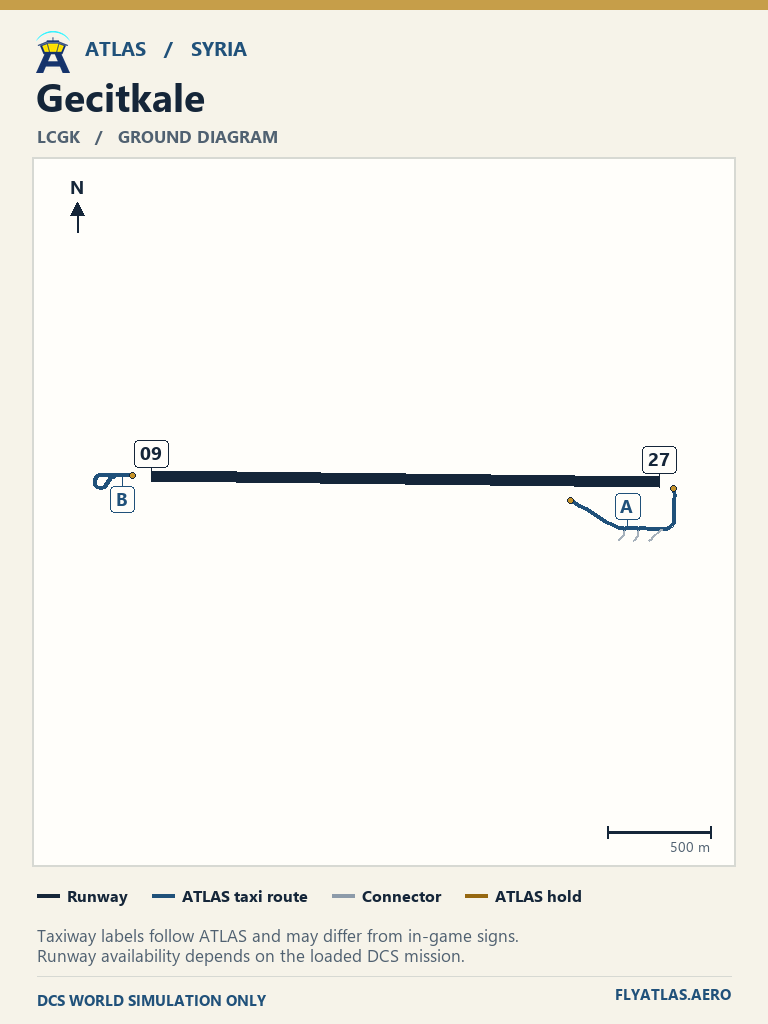
- Gecitkale LCGKNo source chart listedATLAS taxi diagram
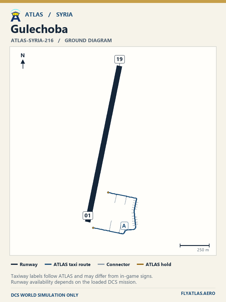
- Gulechoba ATLAS-SYRIA-216No source chart listedATLAS taxi diagram
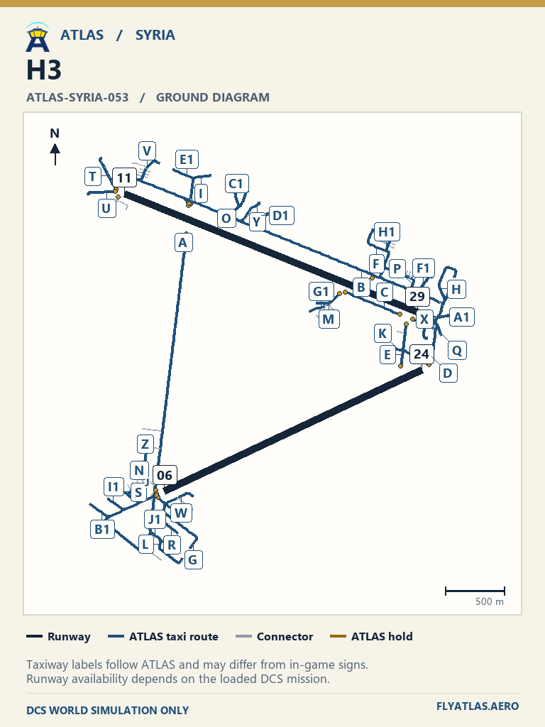
- H3 ATLAS-SYRIA-053No source chart listedATLAS taxi diagram
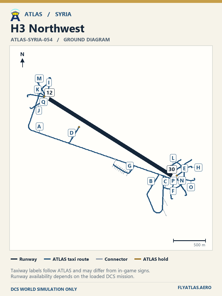
- H3 Northwest ATLAS-SYRIA-054No source chart listedATLAS taxi diagram
- H3 Southwest ATLAS-SYRIA-055No source chart listedATLAS taxi diagram
- H4 OJHRNo source chart listedATLAS taxi diagram
- H4 Emergency ATLAS-SYRIA-061No source chart listedATLAS taxi diagram
- Haifa LLHANo source chart listedATLAS taxi diagram
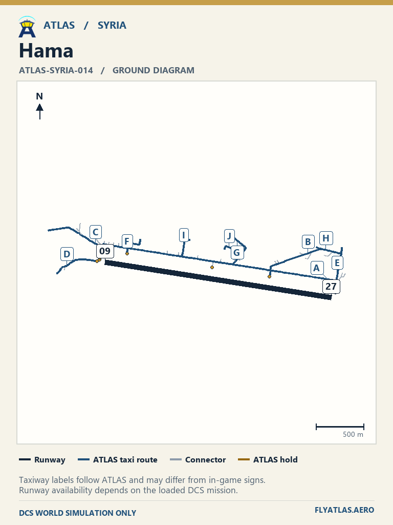
- Hama ATLAS-SYRIA-014No source chart listedATLAS taxi diagram
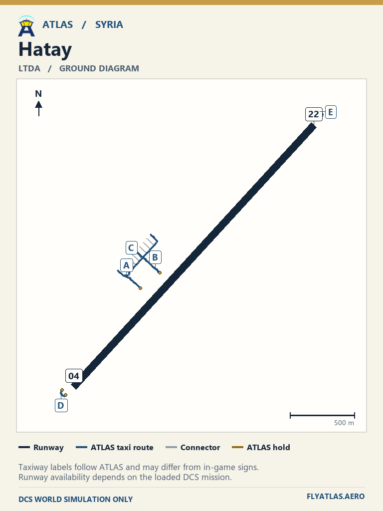
- Hatay LTDA
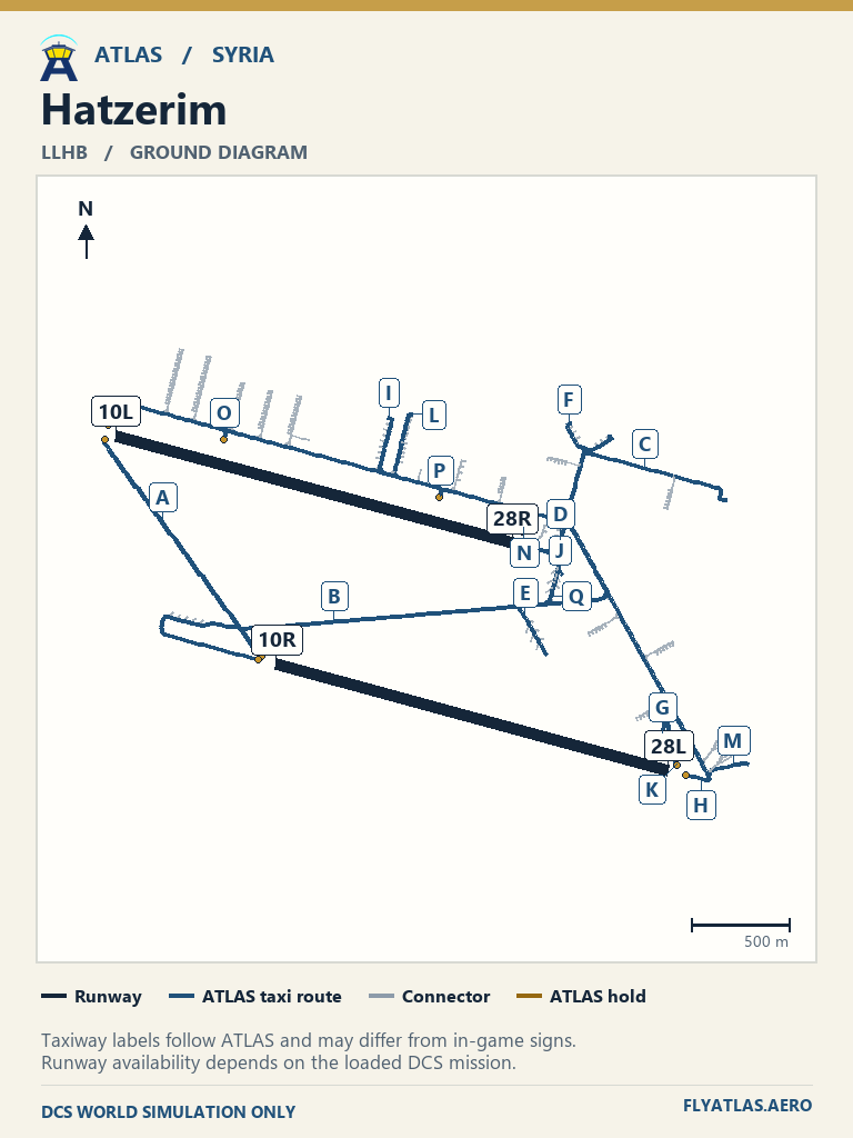
- Hatzerim LLHBNo source chart listedATLAS taxi diagram
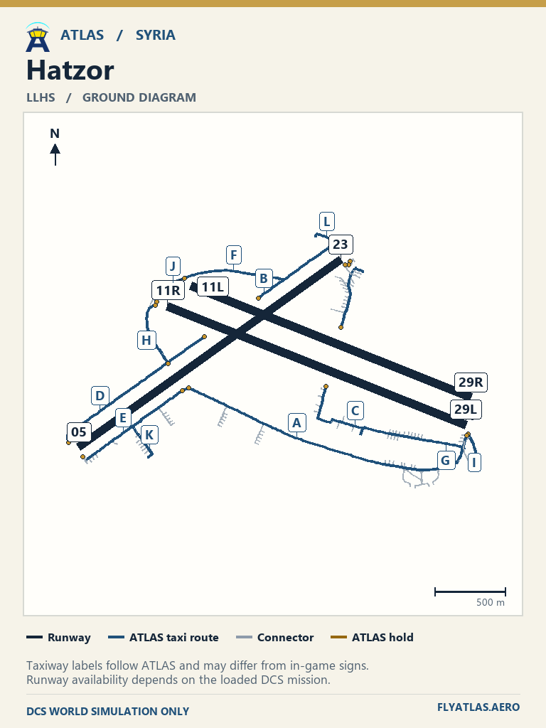
- Hatzor LLHSNo source chart listedATLAS taxi diagram
- Herzliya LLHZNo source chart listedATLAS taxi diagram
- Incirlik LTAGNo source chart listedATLAS taxi diagram
- Jirah ATLAS-SYRIA-017No source chart listedATLAS taxi diagram
- Kahramanmaras LTCN
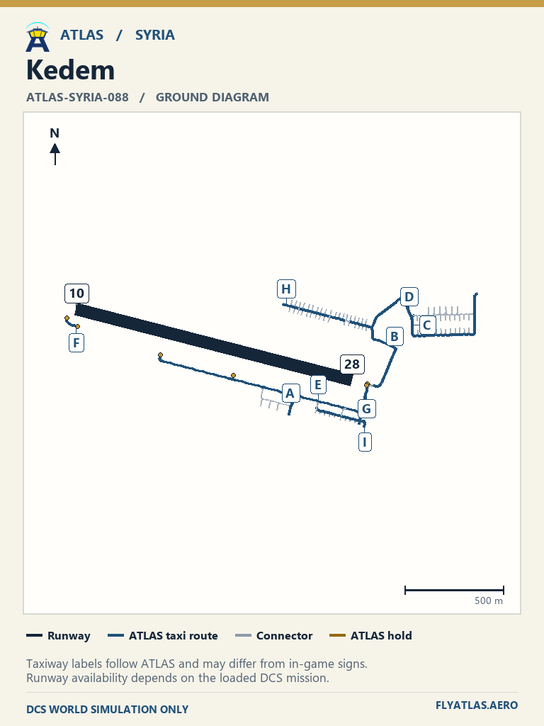
- Kedem ATLAS-SYRIA-088No source chart listedATLAS taxi diagram
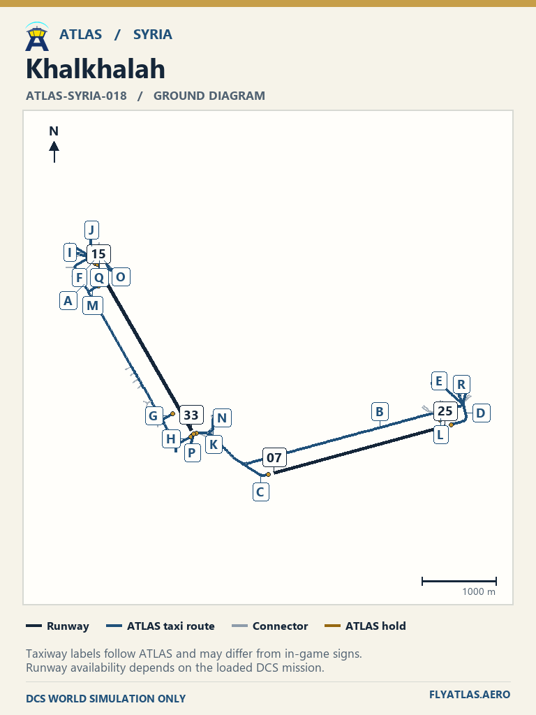
- Khalkhalah ATLAS-SYRIA-018No source chart listedATLAS taxi diagram
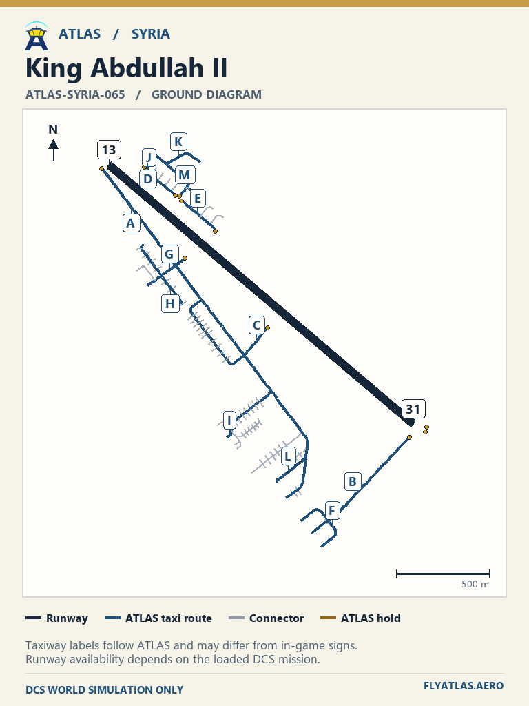
- King Abdullah II ATLAS-SYRIA-065No source chart listedATLAS taxi diagram
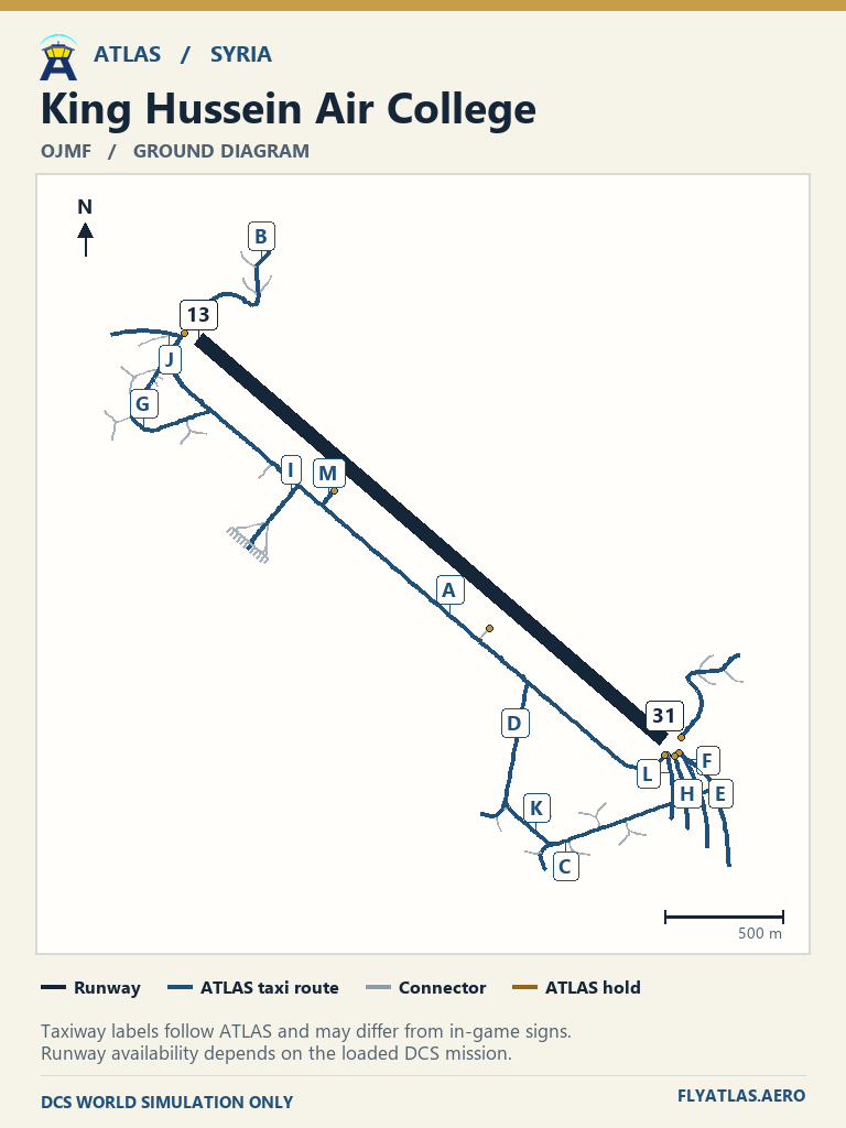
- King Hussein Air College OJMFNo source chart listedATLAS taxi diagram
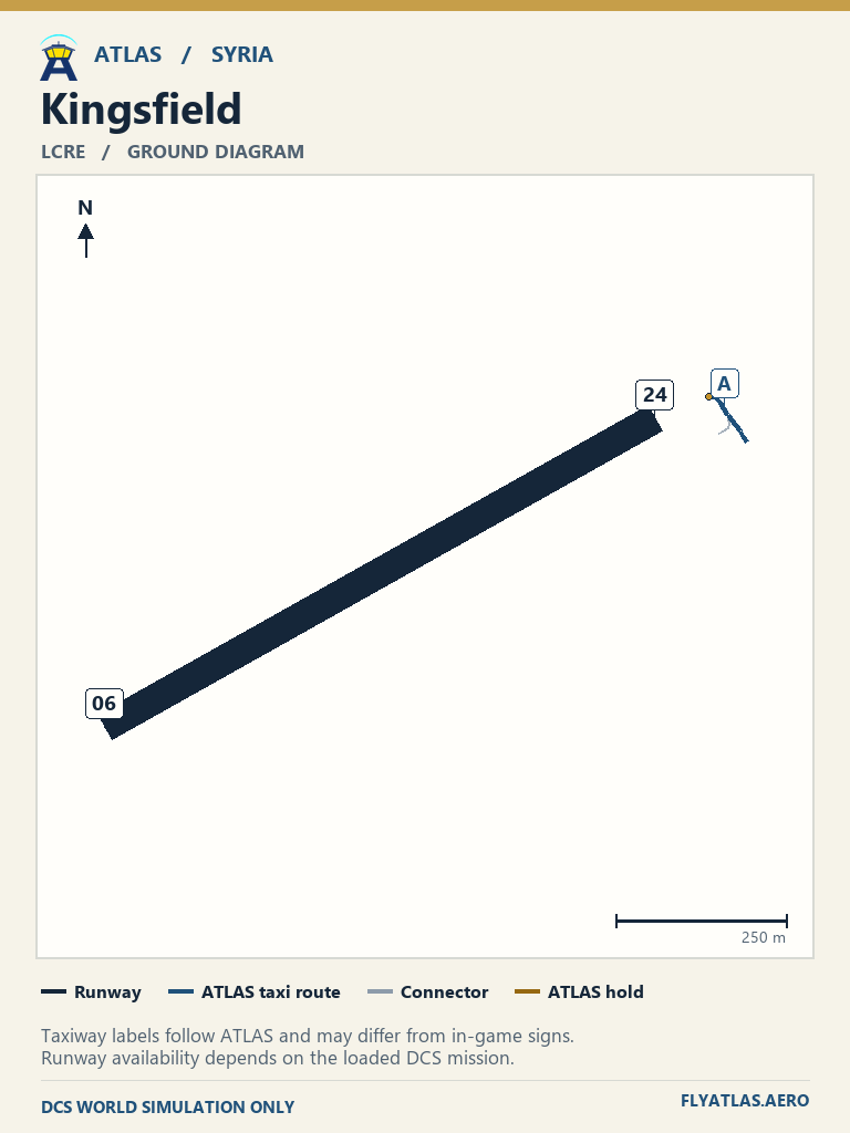
- Kingsfield LCRENo source chart listedATLAS taxi diagram
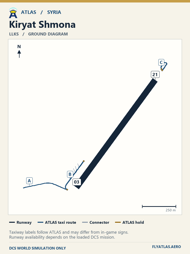
- Kiryat Shmona LLKSNo source chart listedATLAS taxi diagram
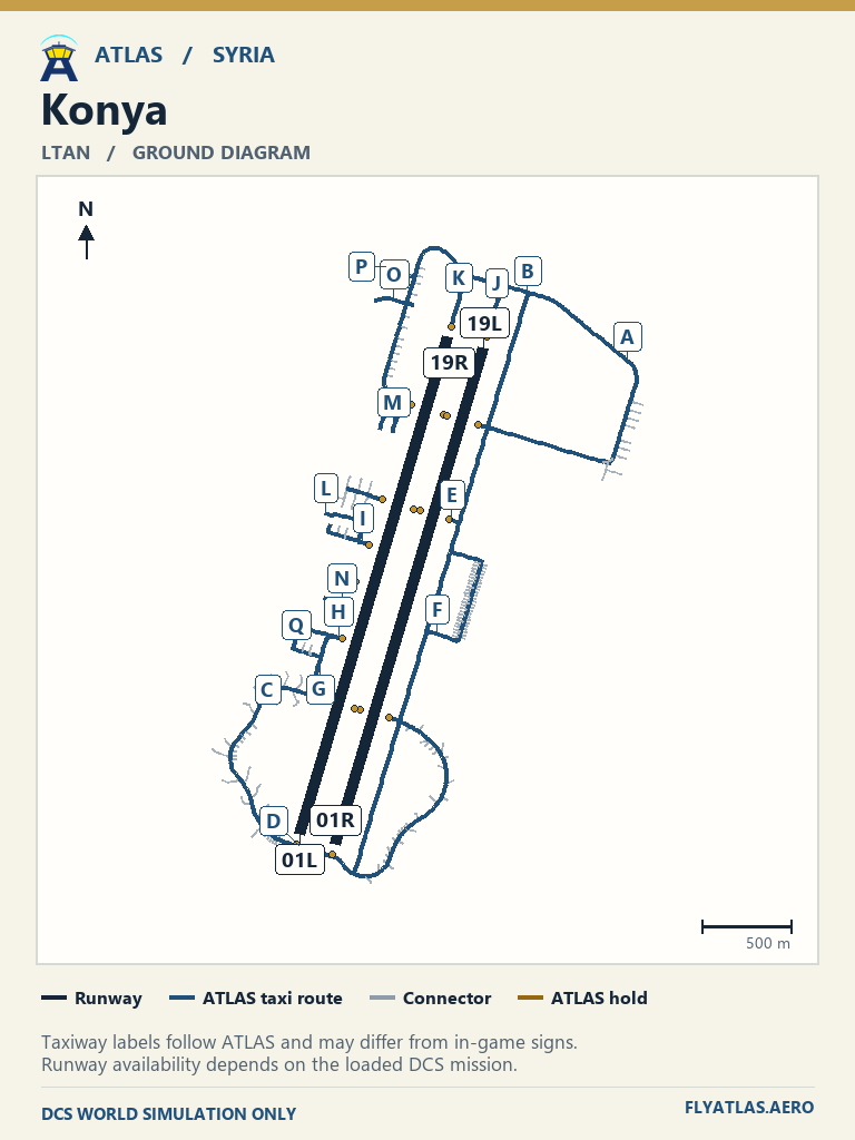
- Konya LTAN
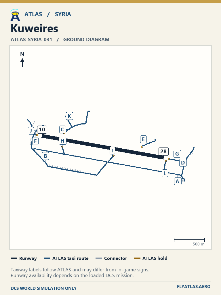
- Kuweires ATLAS-SYRIA-031No source chart listedATLAS taxi diagram
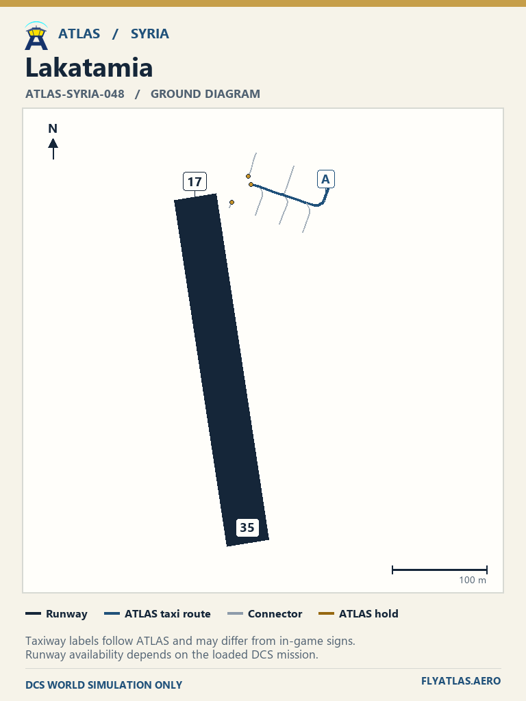
- Lakatamia ATLAS-SYRIA-048No source chart listedATLAS taxi diagram
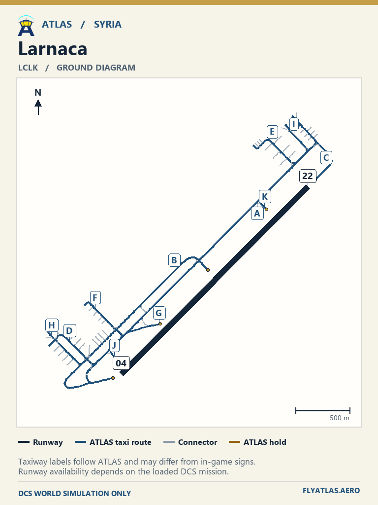
- Larnaca LCLKNo source chart listedATLAS taxi diagram
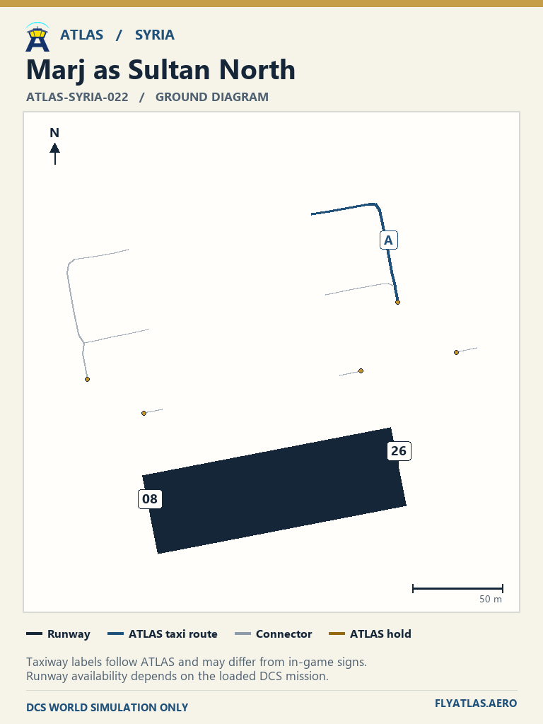
- Marj as Sultan North ATLAS-SYRIA-022No source chart listedATLAS taxi diagram
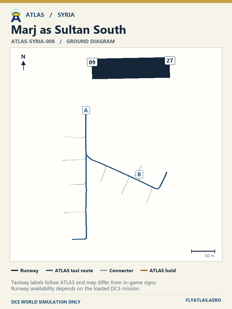
- Marj as Sultan South ATLAS-SYRIA-008No source chart listedATLAS taxi diagram
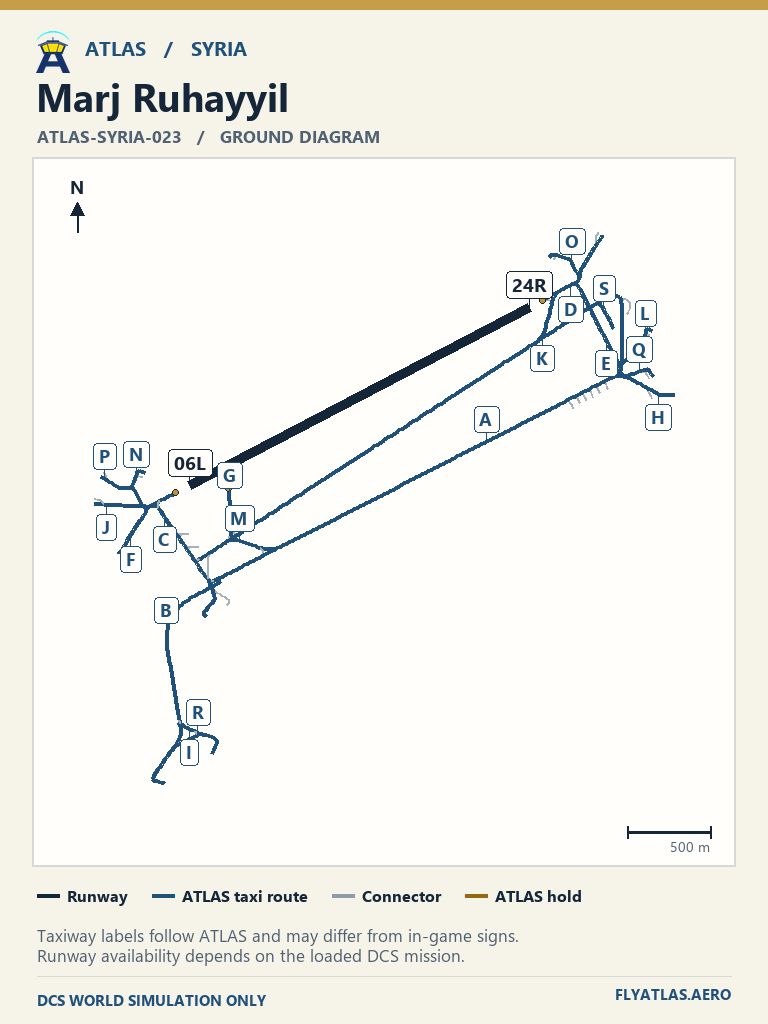
- Marj Ruhayyil ATLAS-SYRIA-023No source chart listedATLAS taxi diagram
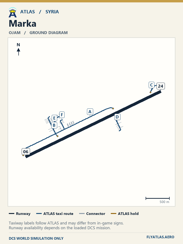
- Marka OJAMNo source chart listedATLAS taxi diagram
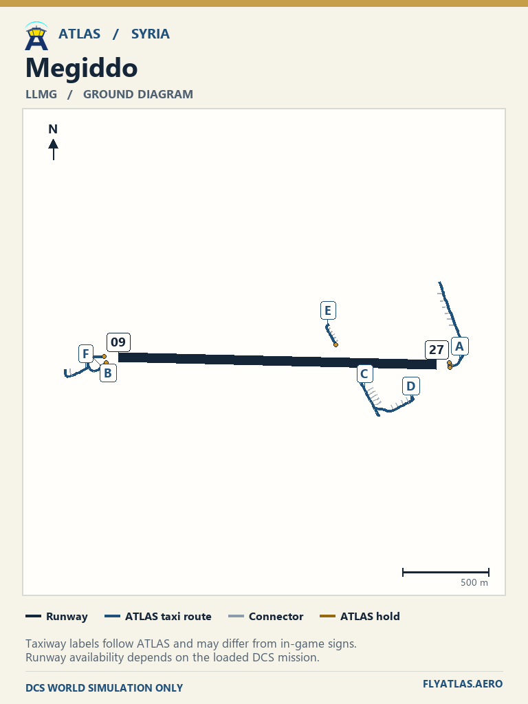
- Megiddo LLMGNo source chart listedATLAS taxi diagram
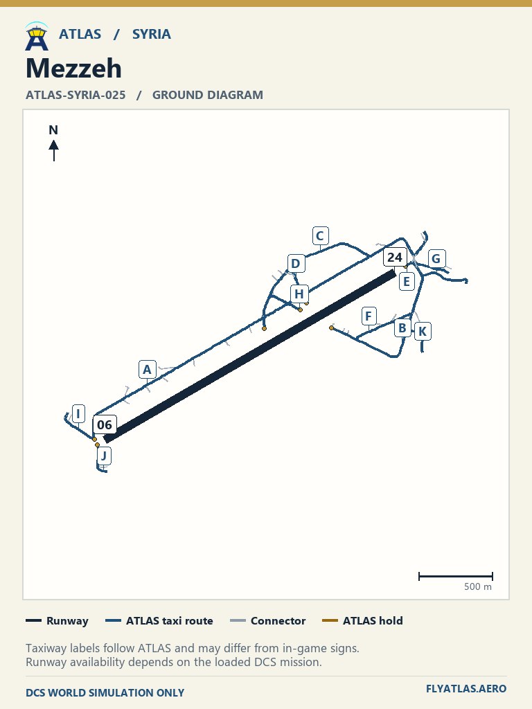
- Mezzeh ATLAS-SYRIA-025No source chart listedATLAS taxi diagram
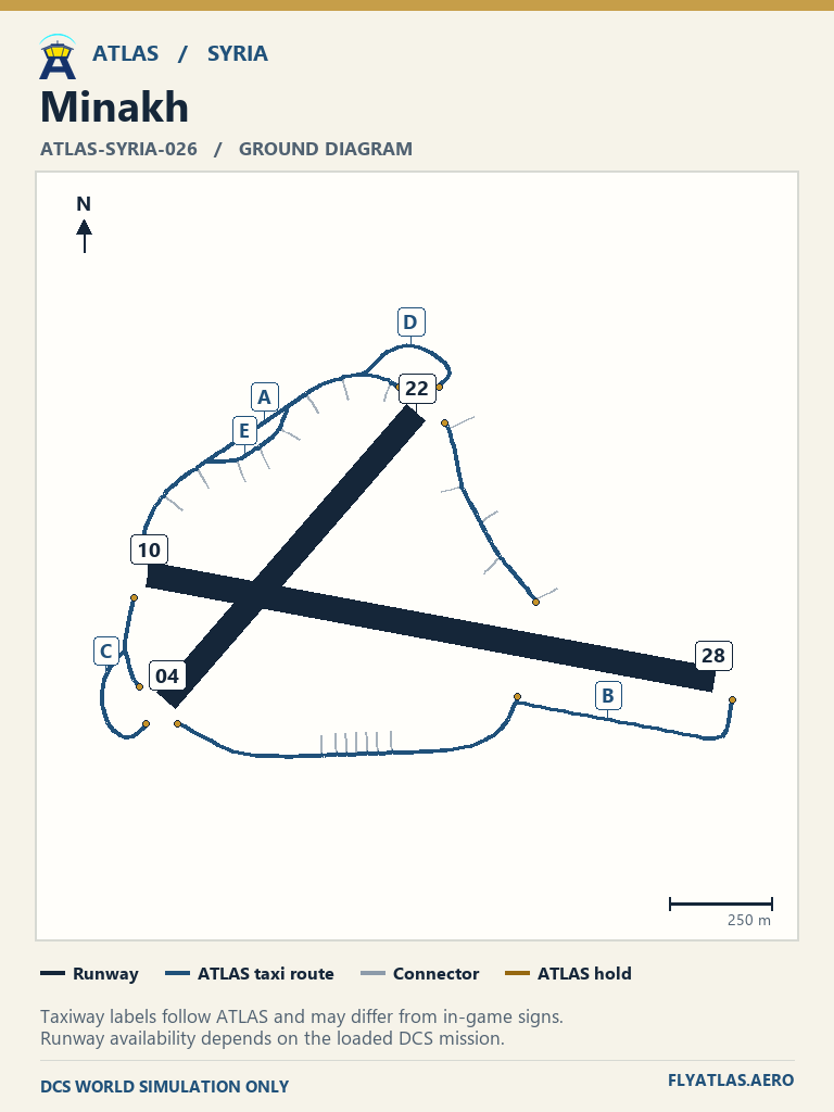
- Minakh ATLAS-SYRIA-026No source chart listedATLAS taxi diagram
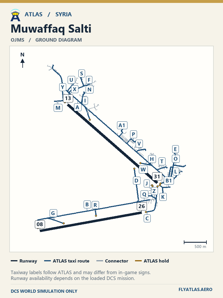
- Muwaffaq Salti OJMSNo source chart listedATLAS taxi diagram
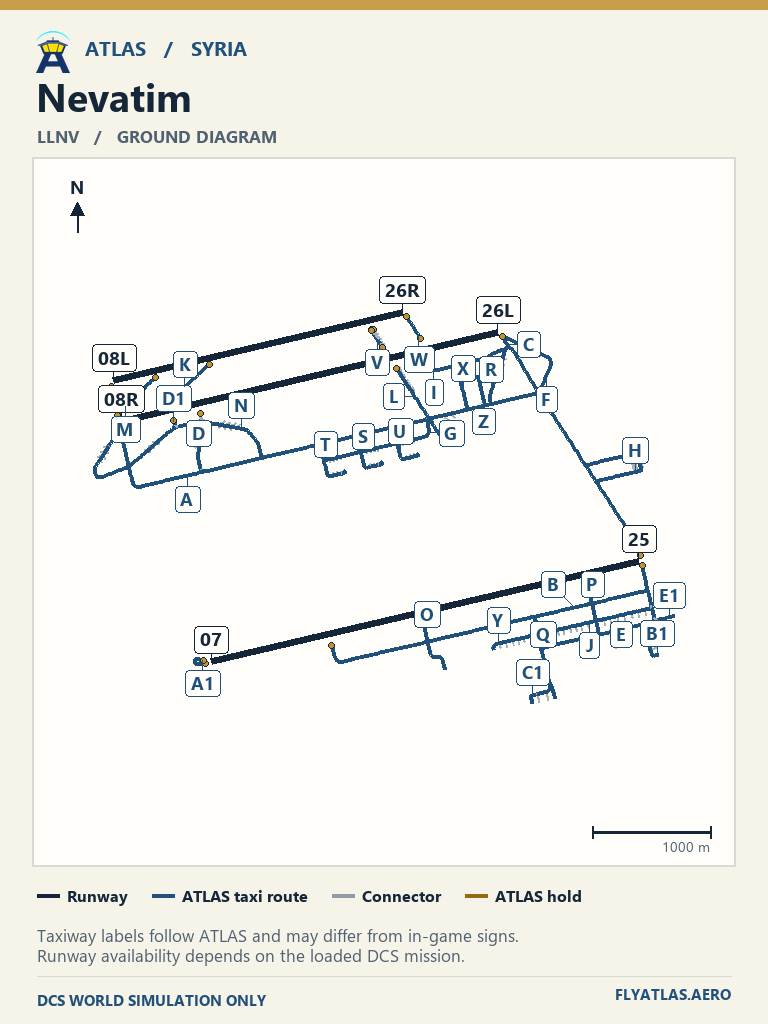
- Nevatim LLNVNo source chart listedATLAS taxi diagram
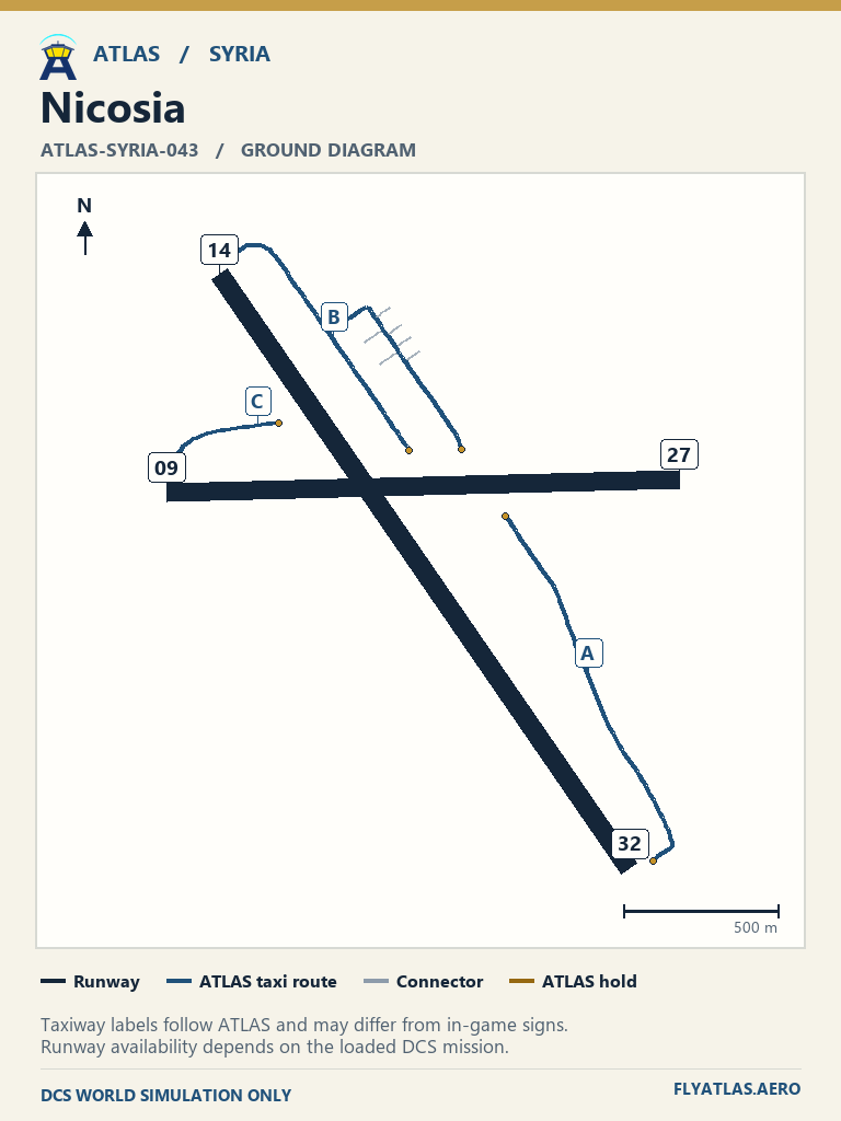
- Nicosia ATLAS-SYRIA-043No source chart listedATLAS taxi diagram
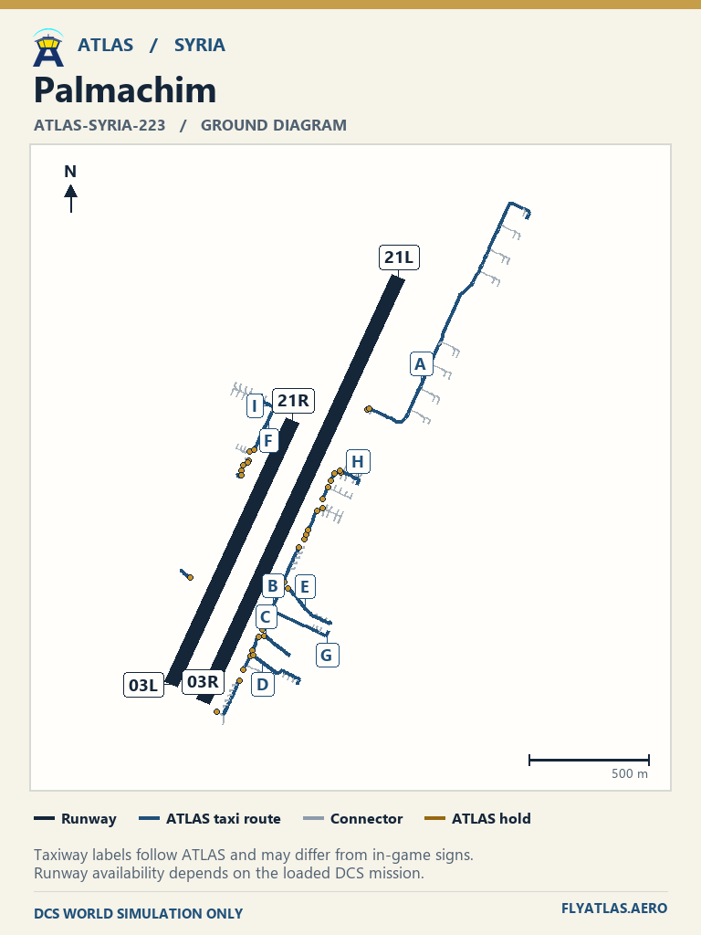
- Palmachim ATLAS-SYRIA-223No source chart listedATLAS taxi diagram
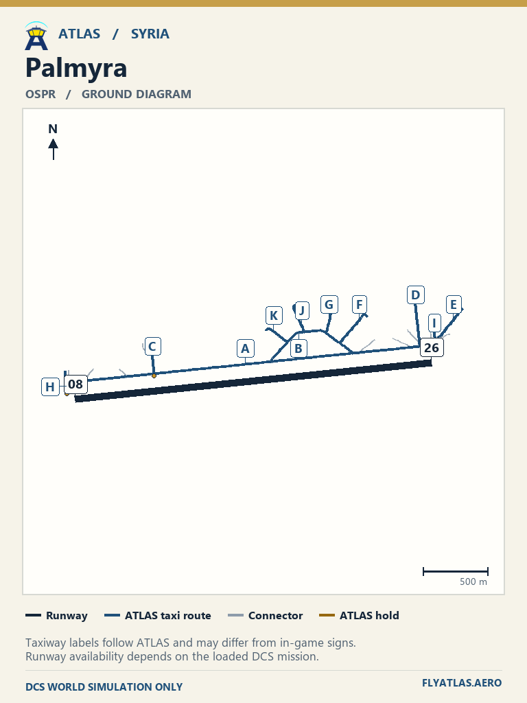
- Palmyra OSPRNo source chart listedATLAS taxi diagram
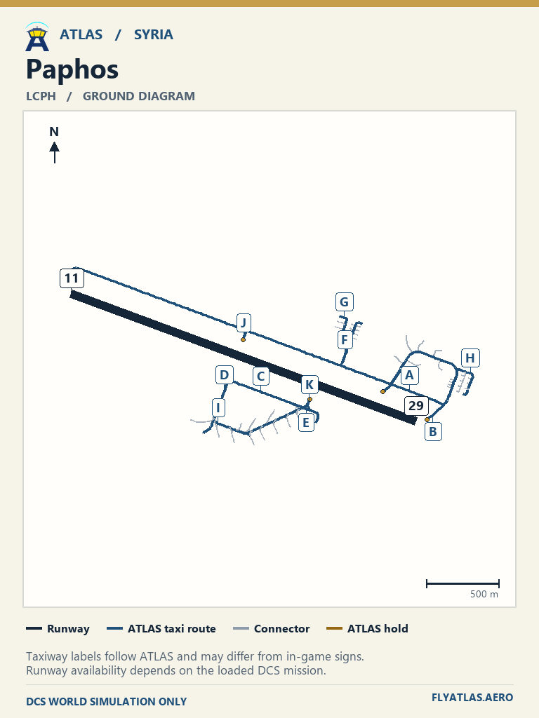
- Paphos LCPHNo source chart listedATLAS taxi diagram
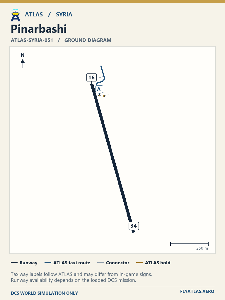
- Pinarbashi ATLAS-SYRIA-051No source chart listedATLAS taxi diagram
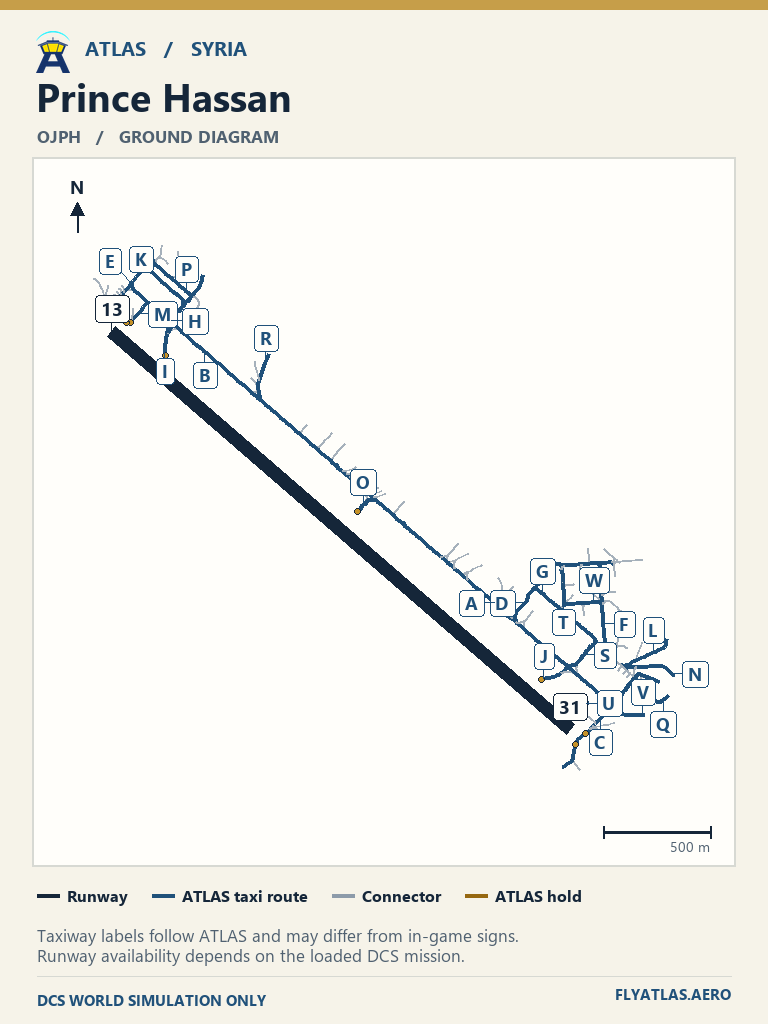
- Prince Hassan OJPHNo source chart listedATLAS taxi diagram
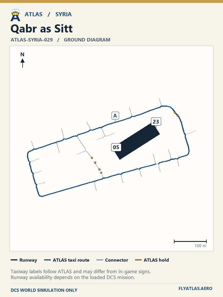
- Qabr as Sitt ATLAS-SYRIA-029No source chart listedATLAS taxi diagram
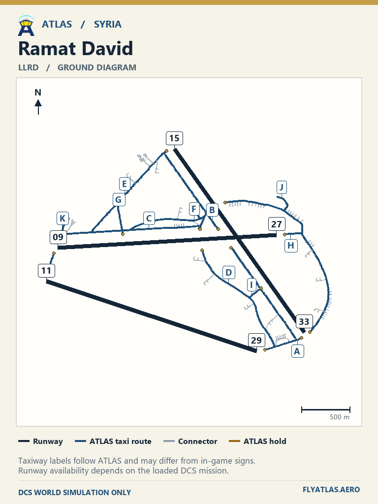
- Ramat David LLRDNo source chart listedATLAS taxi diagram
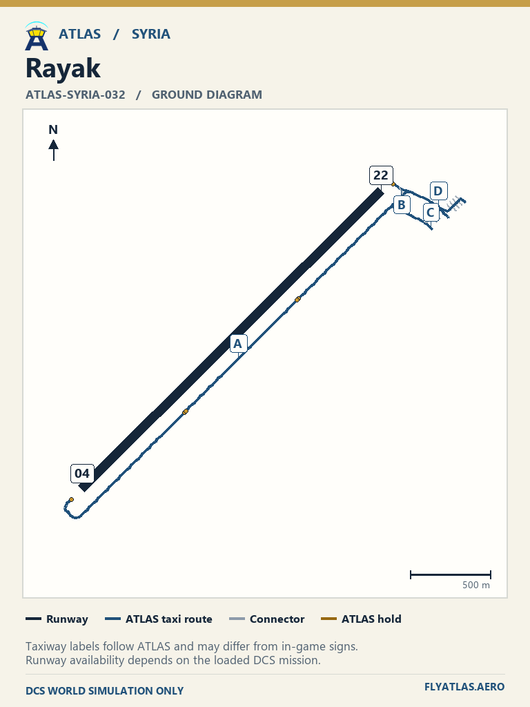
- Rayak ATLAS-SYRIA-032No source chart listedATLAS taxi diagram
- Rene Mouawad OLKANo source chart listedATLAS taxi diagram
- Rosh Pina LLIBNo source chart listedATLAS taxi diagram
- Ruwayshid ATLAS-SYRIA-057No source chart listedATLAS taxi diagram
- Sanliurfa ATLAS-SYRIA-058No source chart listedATLAS taxi diagram
- Sayqal ATLAS-SYRIA-035No source chart listedATLAS taxi diagram
- Shayrat ATLAS-SYRIA-036No source chart listedATLAS taxi diagram
- T2 ATLAS-SYRIA-225No source chart listedATLAS taxi diagram
- T3 ATLAS-SYRIA-226No source chart listedATLAS taxi diagram
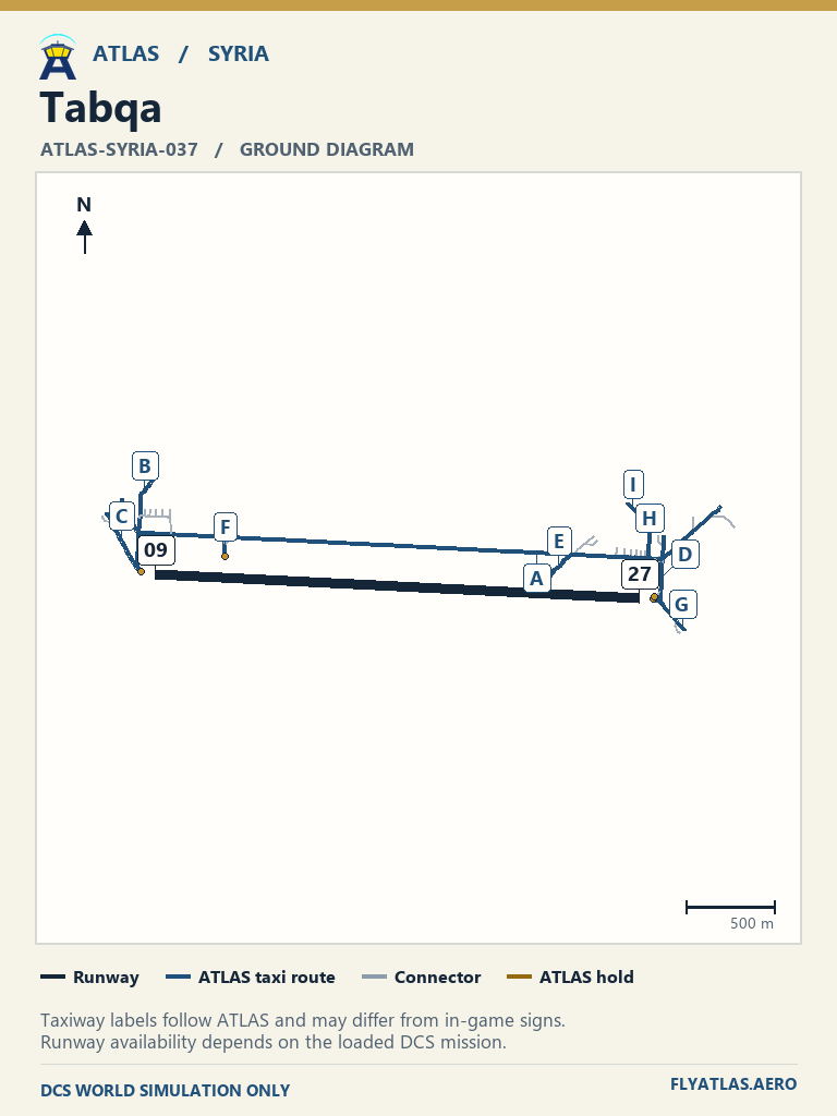
- Tabqa ATLAS-SYRIA-037No source chart listedATLAS taxi diagram
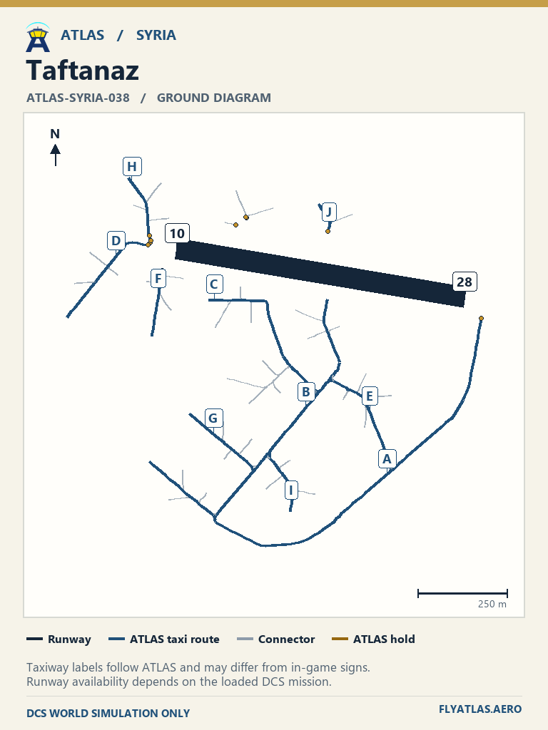
- Taftanaz ATLAS-SYRIA-038No source chart listedATLAS taxi diagram
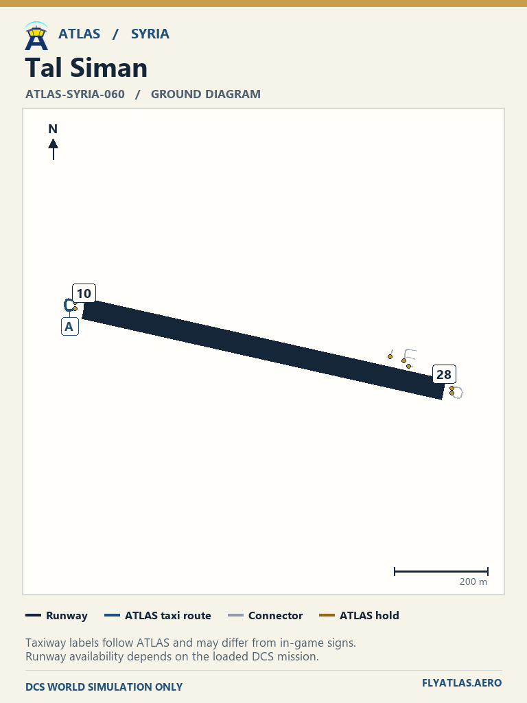
- Tal Siman ATLAS-SYRIA-060No source chart listedATLAS taxi diagram
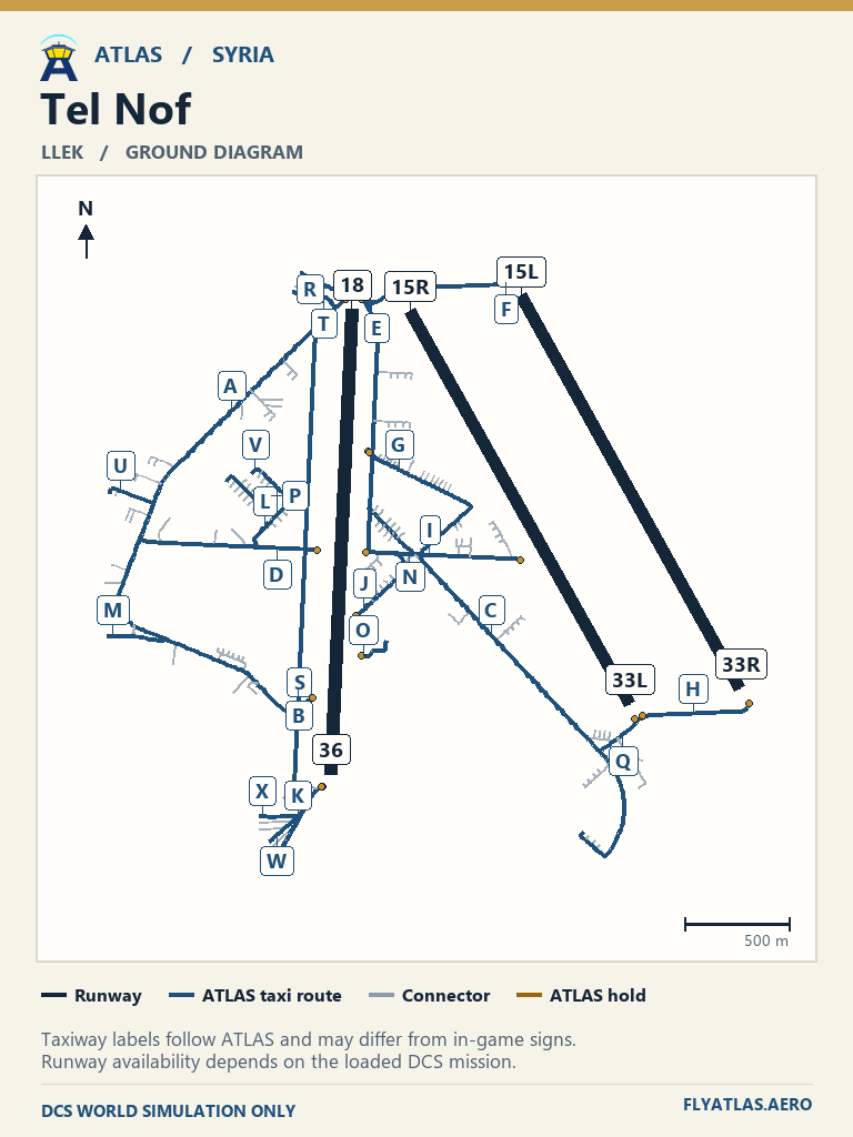
- Tel Nof LLEKNo source chart listedATLAS taxi diagram
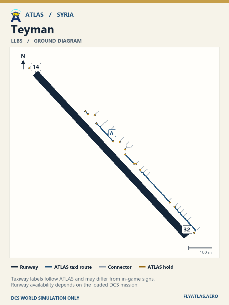
- Teyman LLBSNo source chart listedATLAS taxi diagram
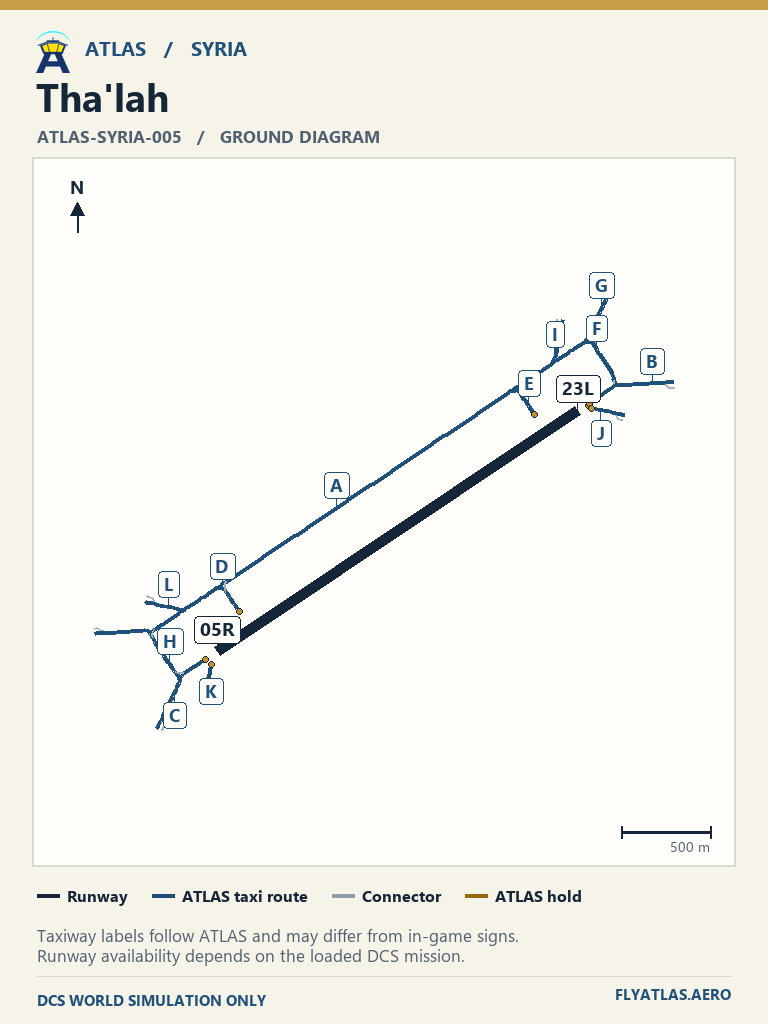
- Tha'lah ATLAS-SYRIA-005No source chart listedATLAS taxi diagram
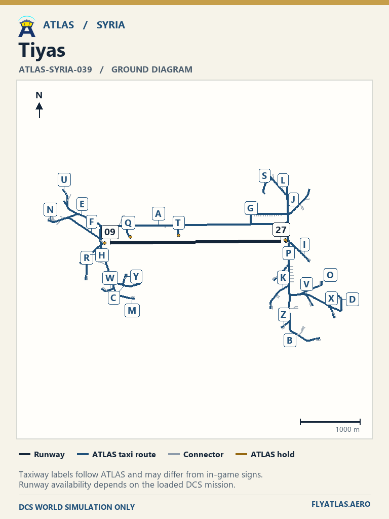
- Tiyas ATLAS-SYRIA-039No source chart listedATLAS taxi diagram
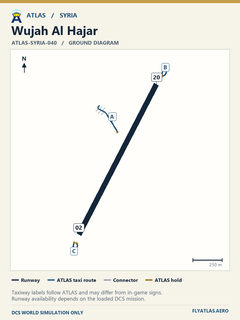
- Wujah Al Hajar ATLAS-SYRIA-040No source chart listedATLAS taxi diagram
- Zarqa ATLAS-SYRIA-056No source chart listedATLAS taxi diagram
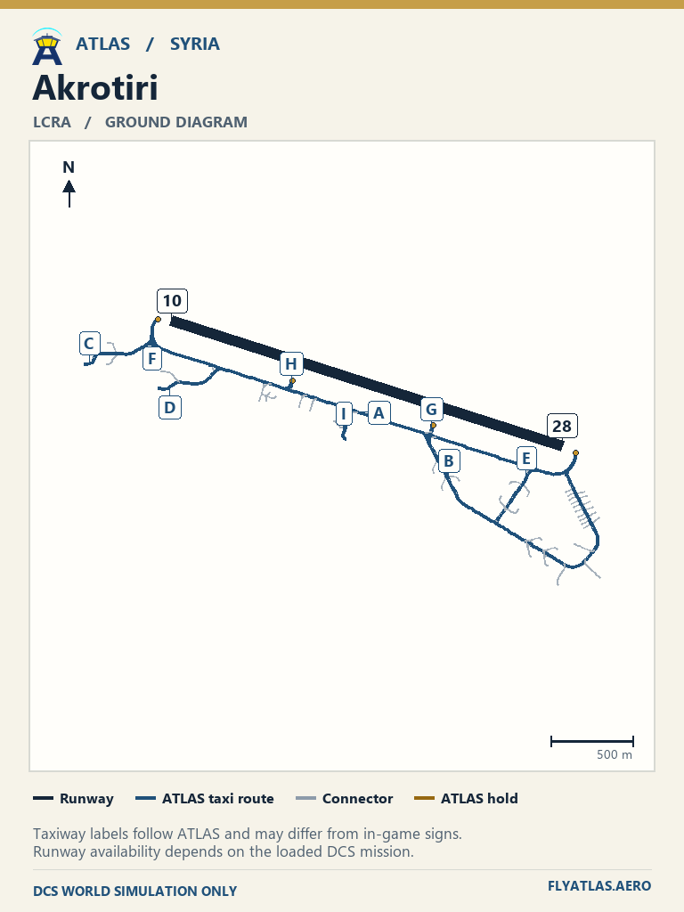
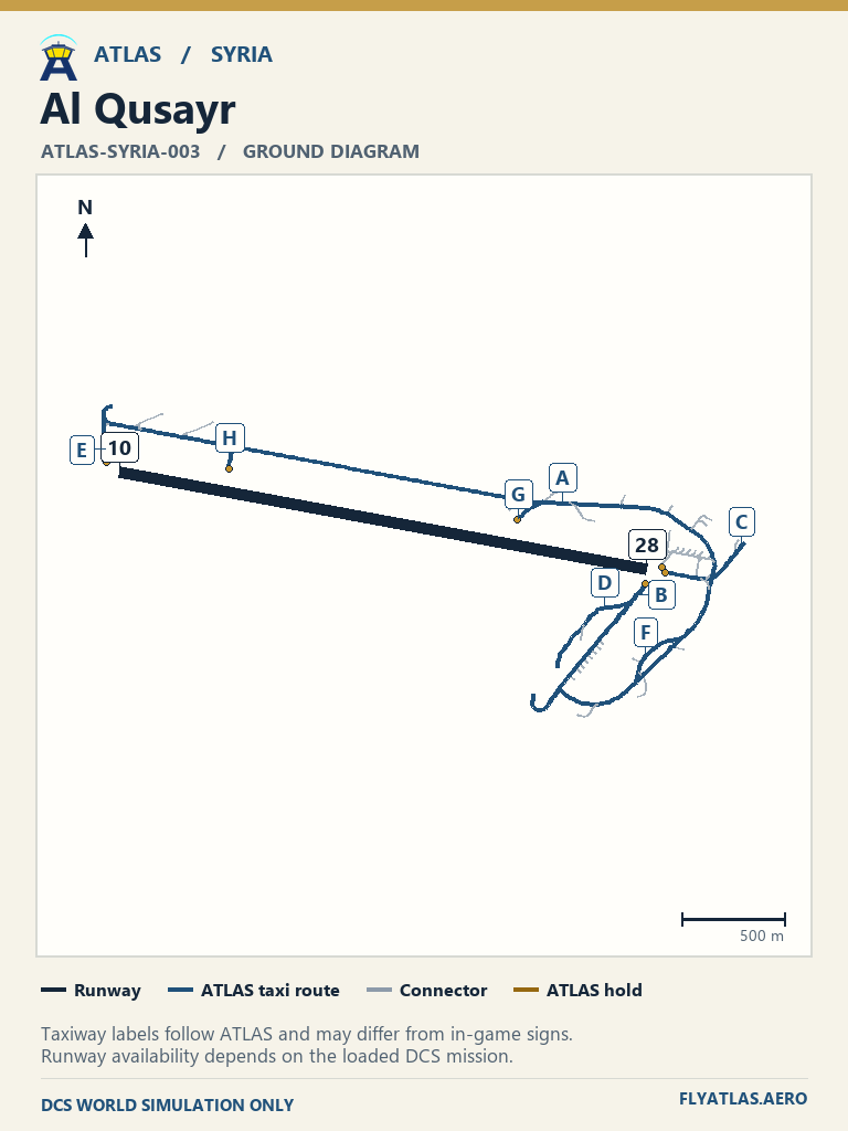
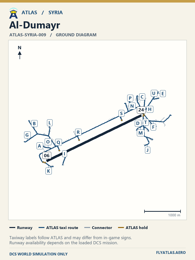
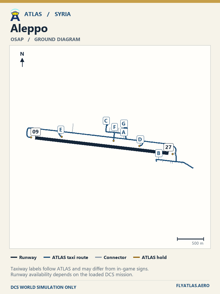
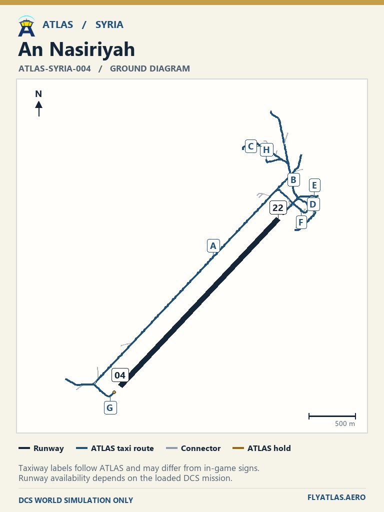
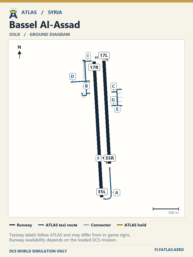
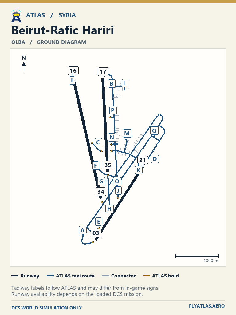
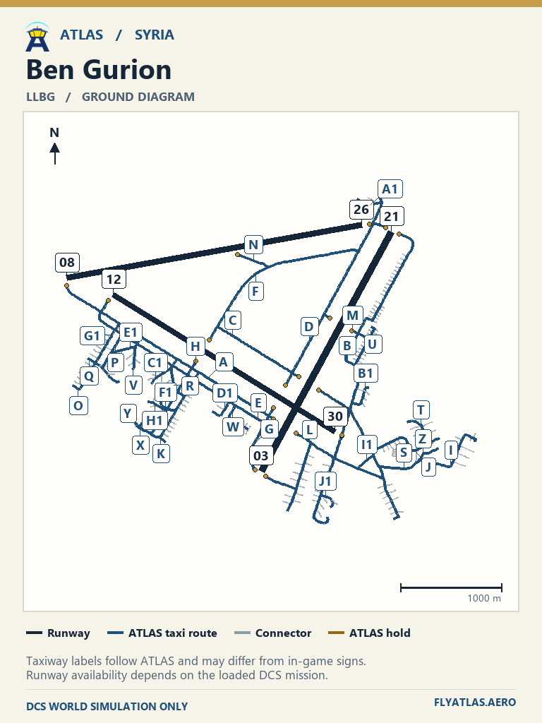
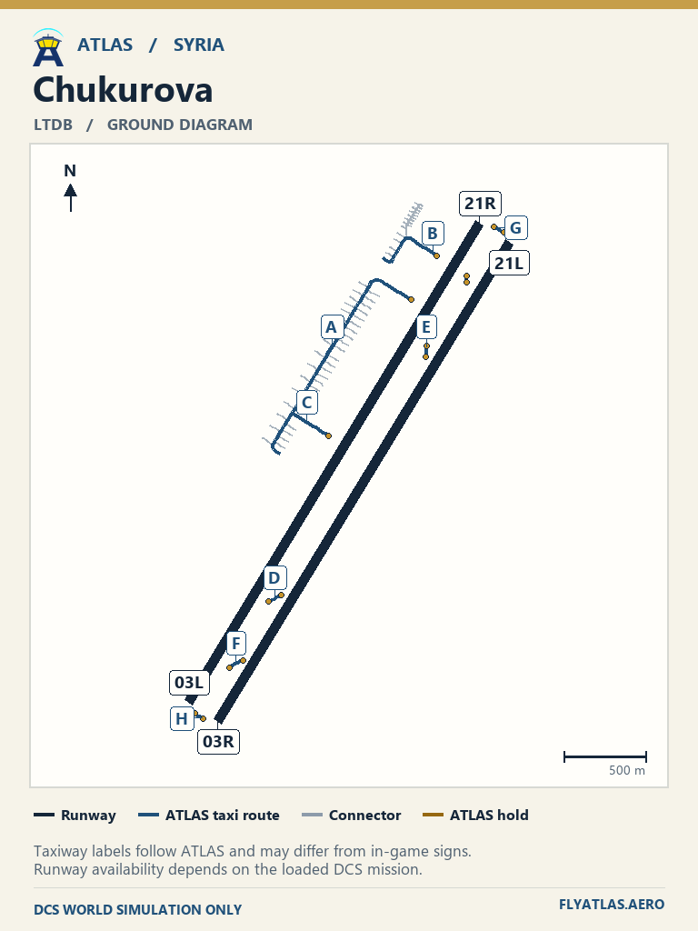
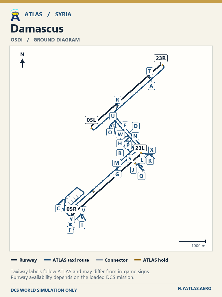
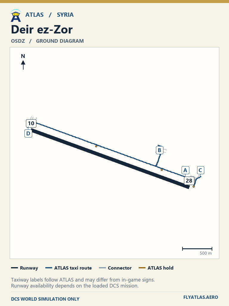
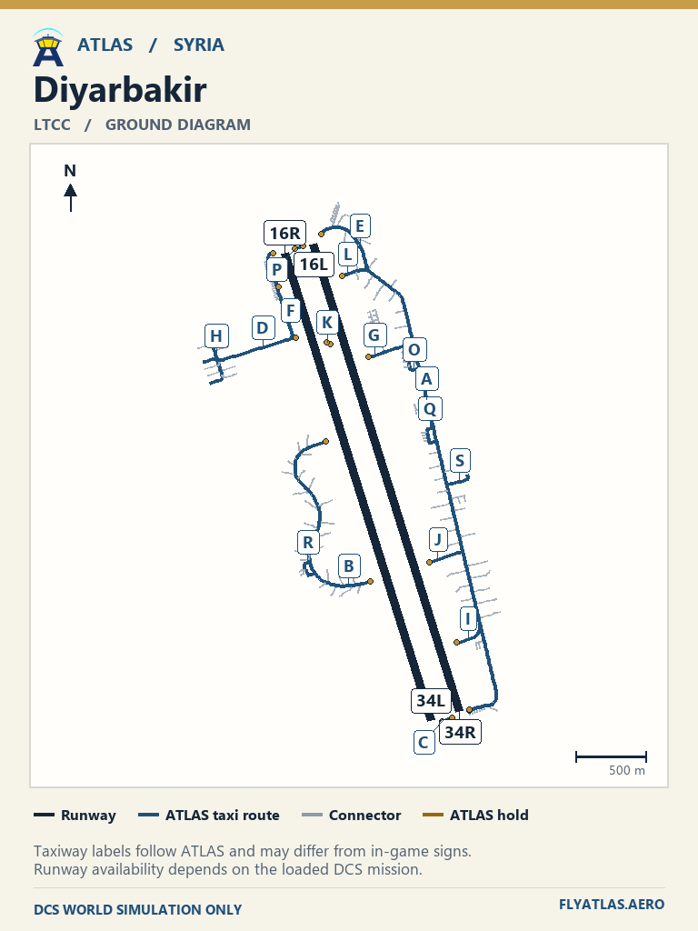
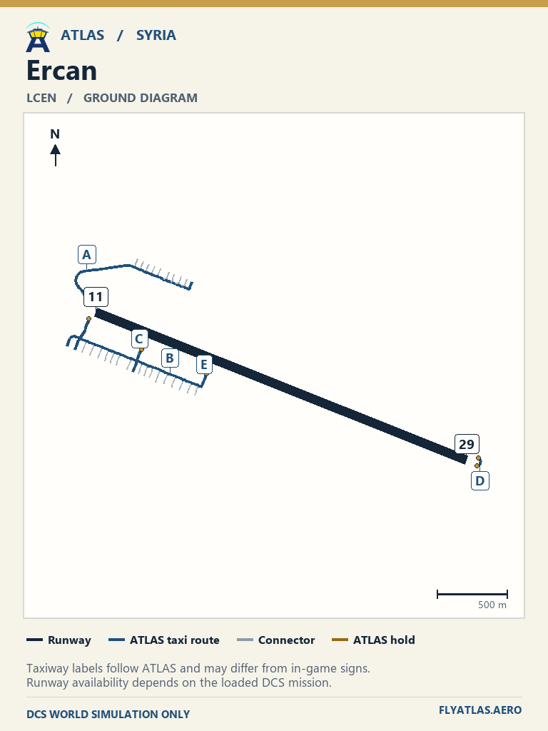
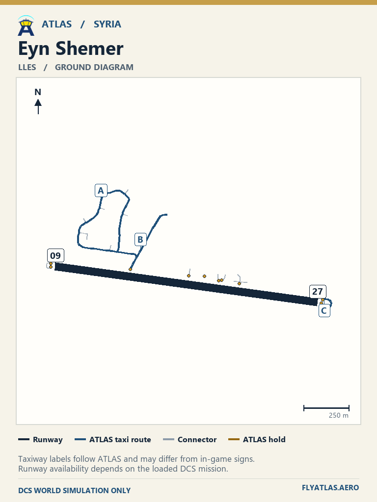
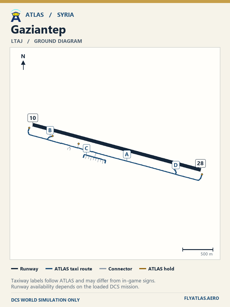
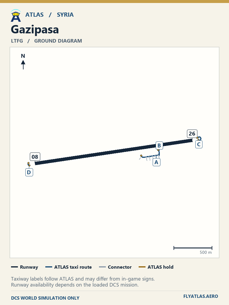
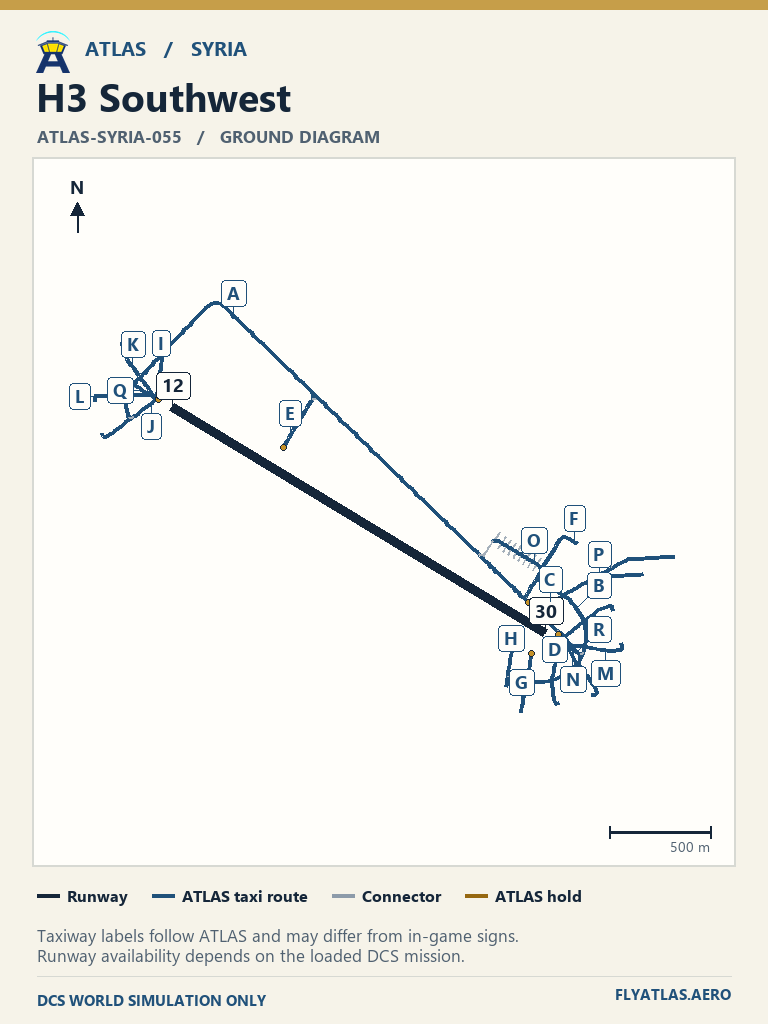
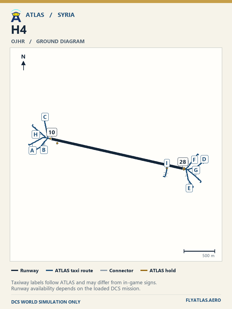
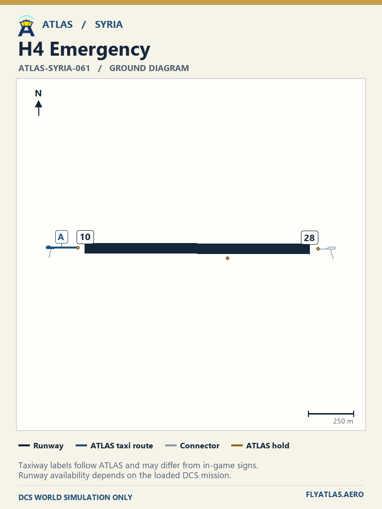
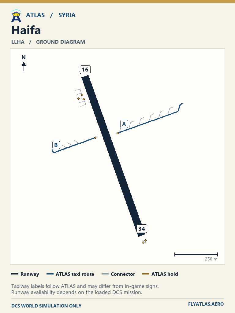
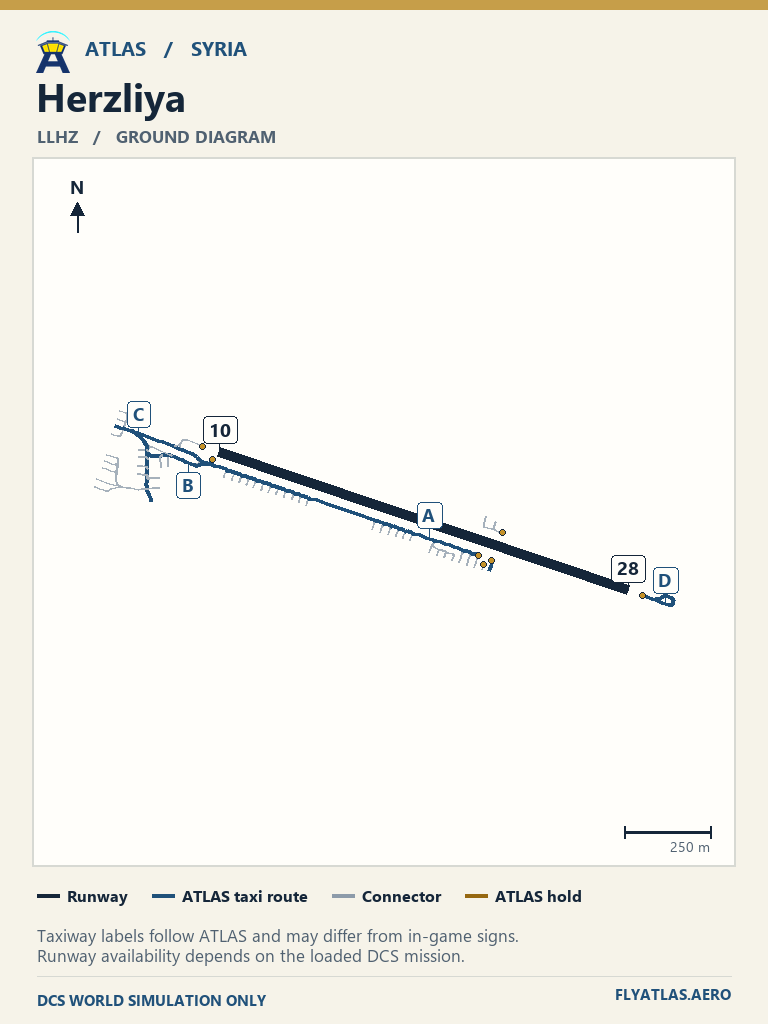
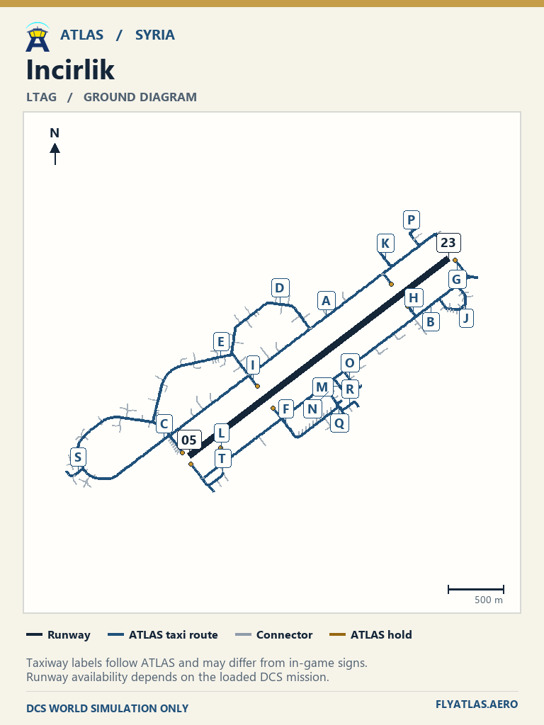
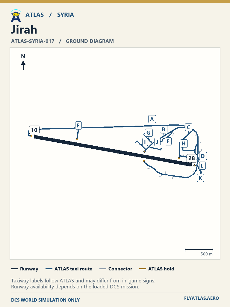
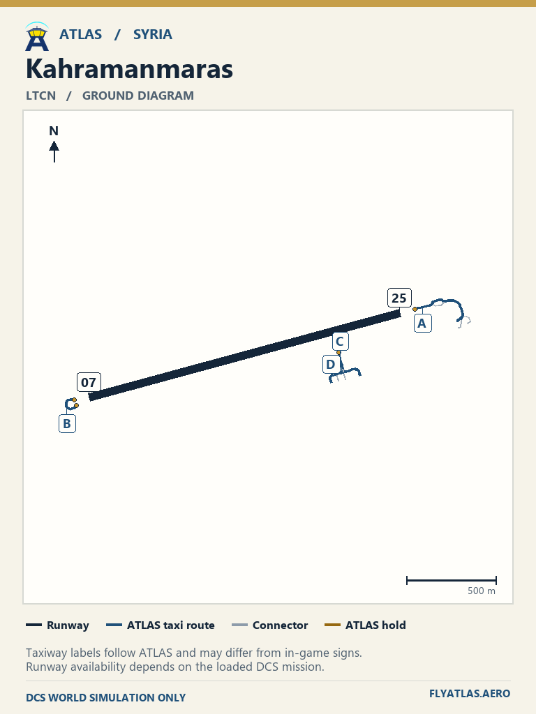
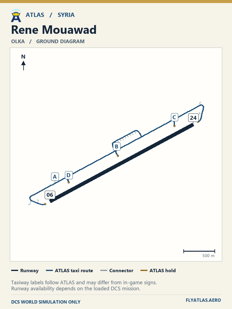
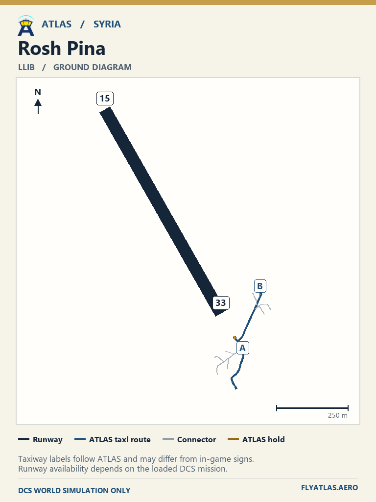
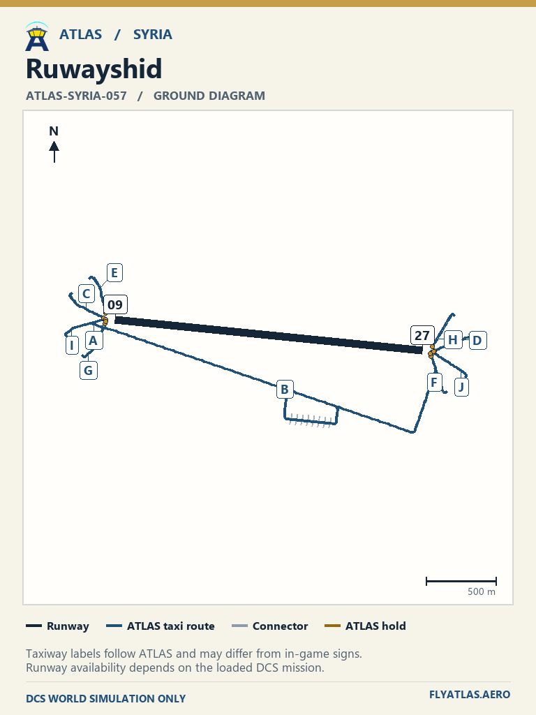
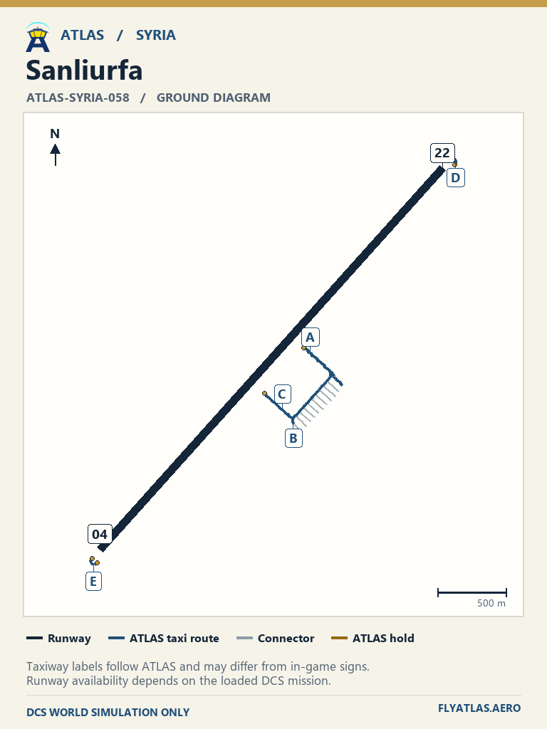
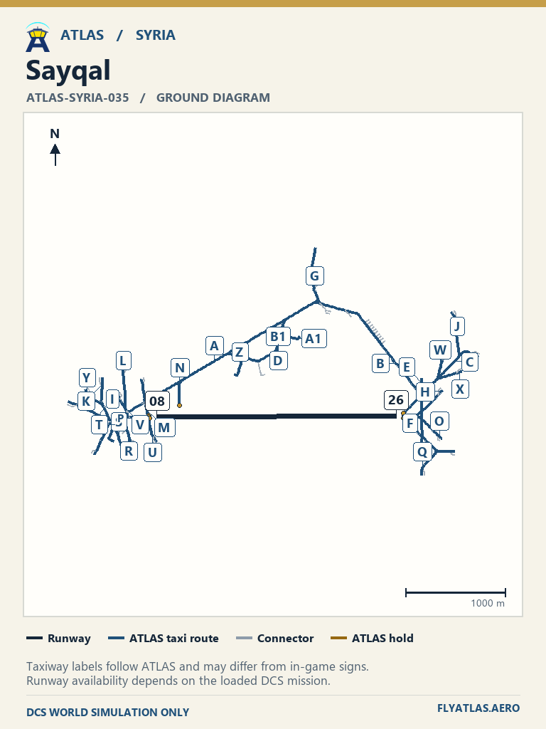
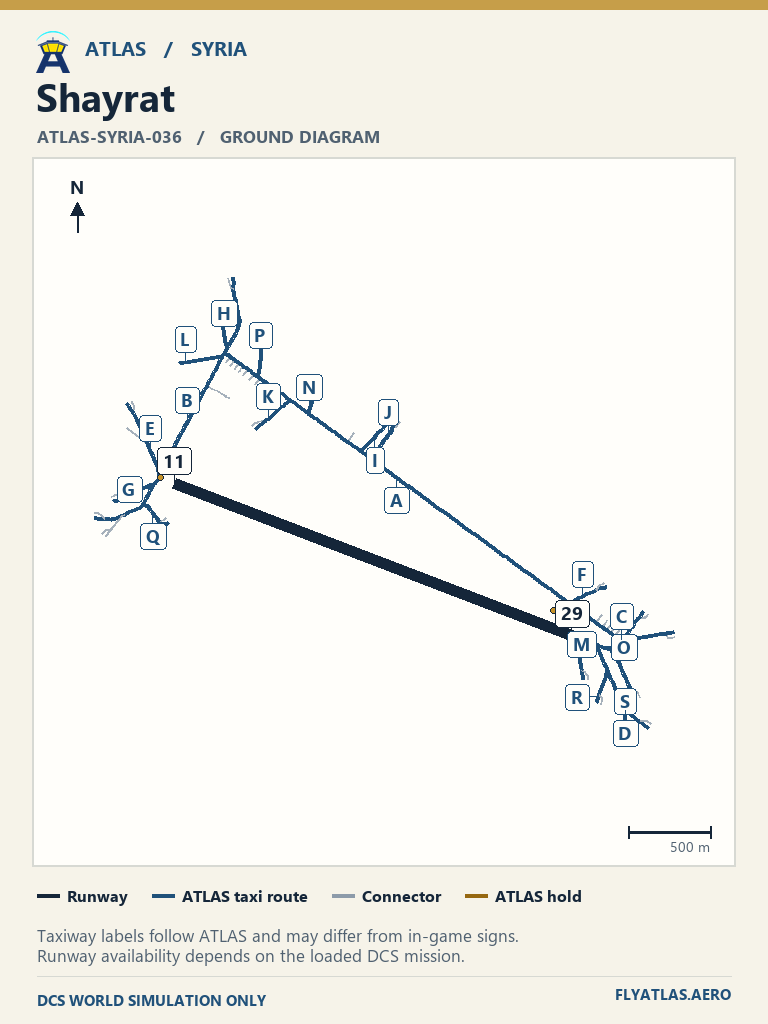
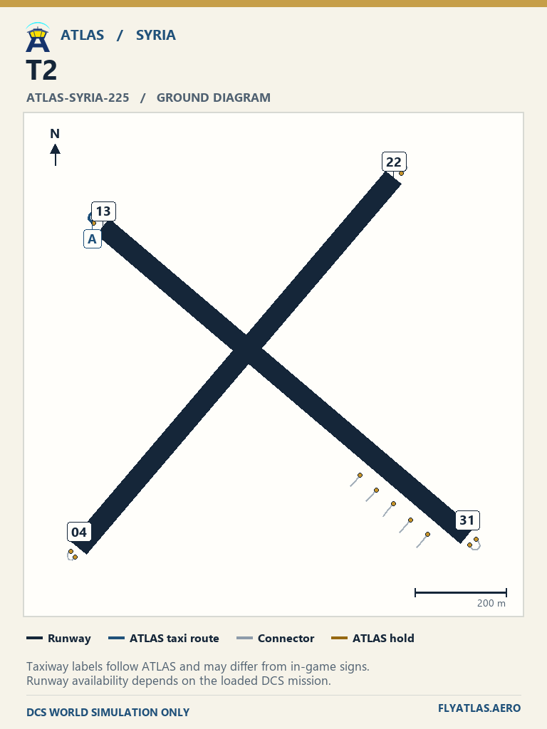
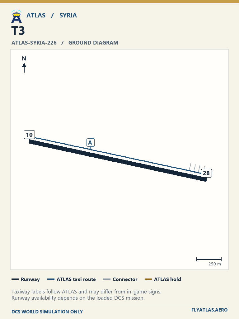
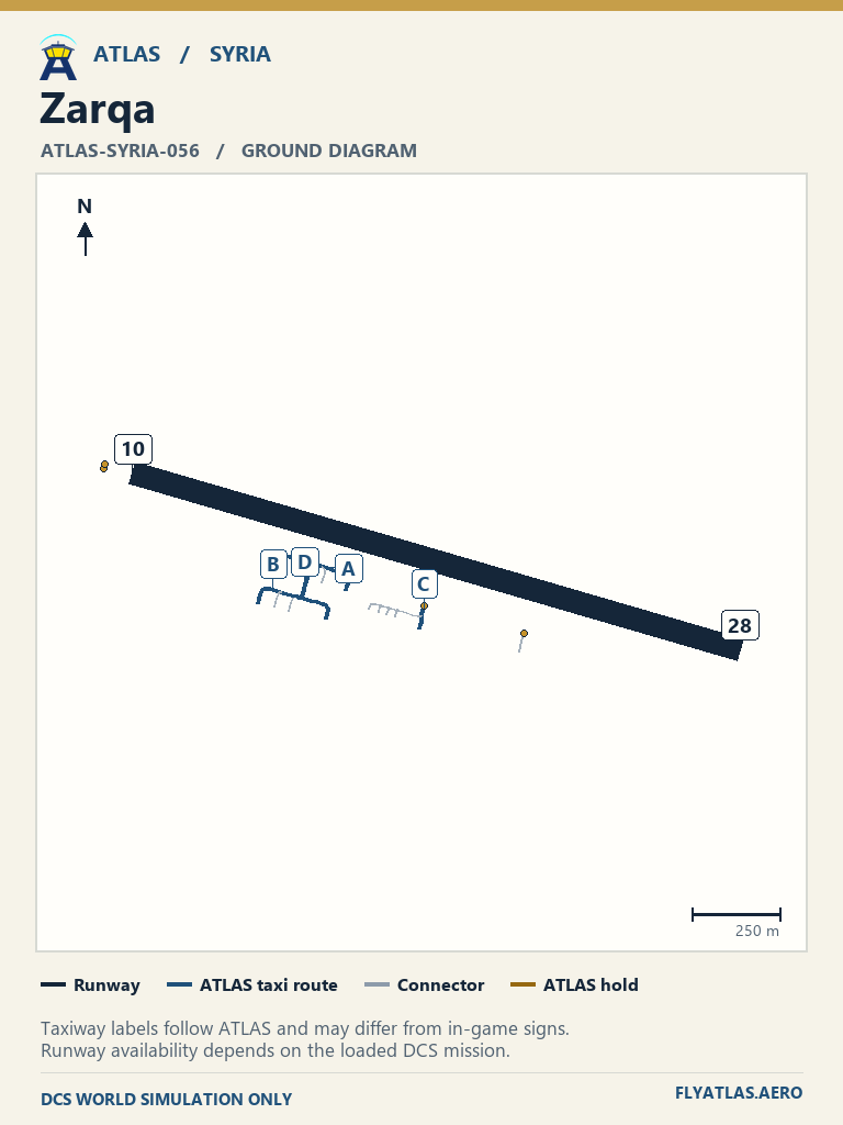
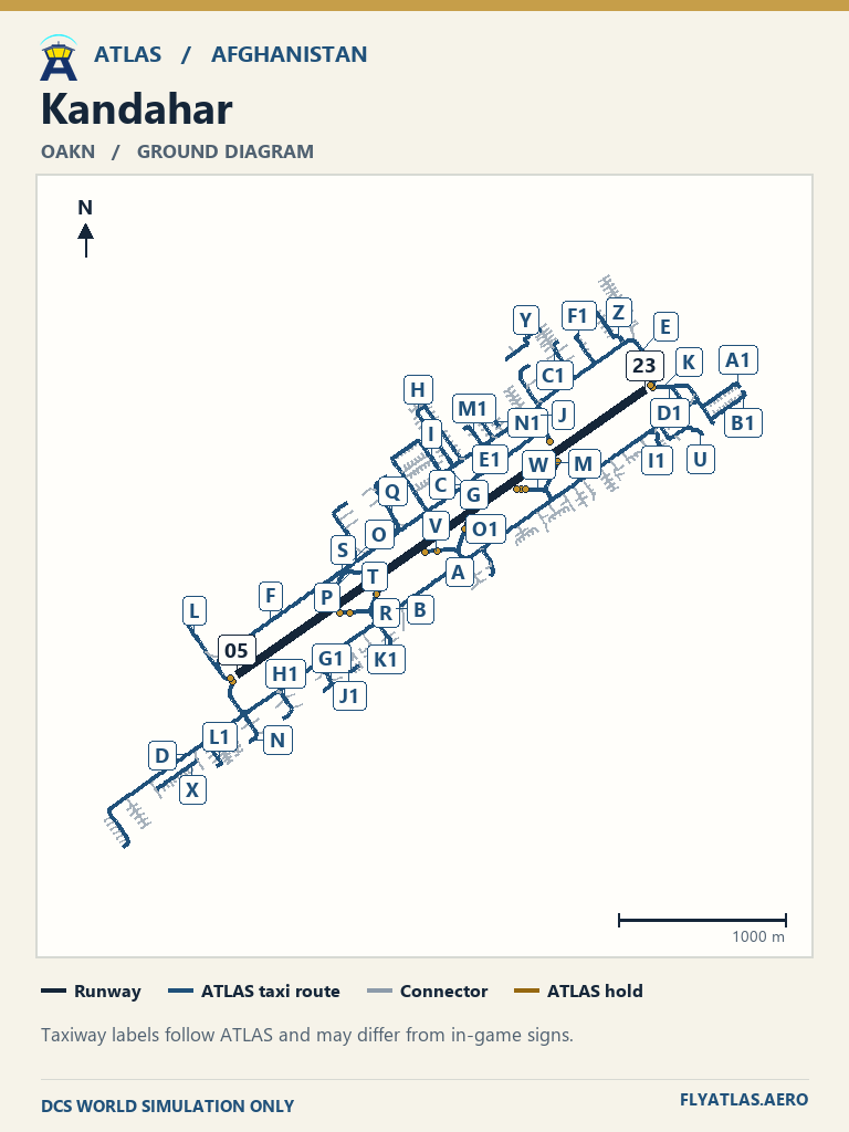
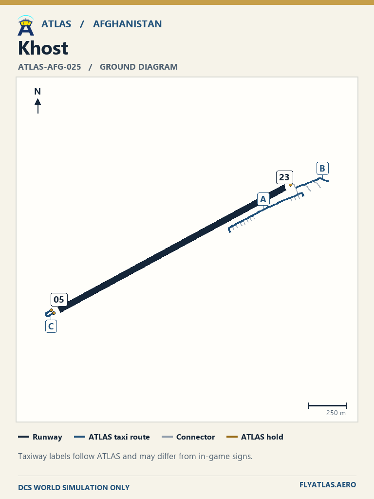
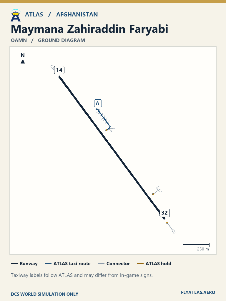
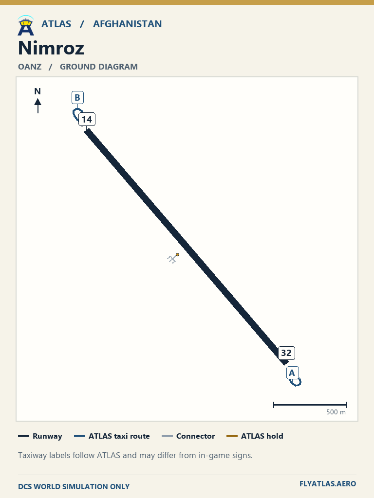
ATLAS taxi diagrams use the Afghanistan Class D release data.
View 20 airfields
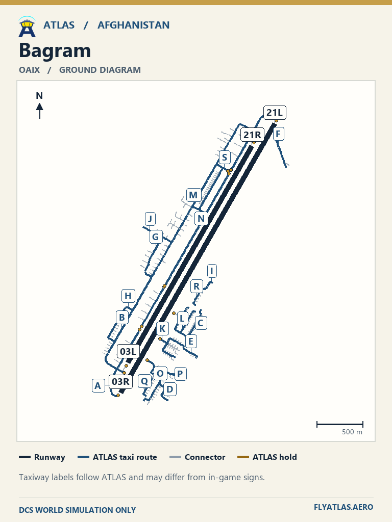
- Bagram OAIX
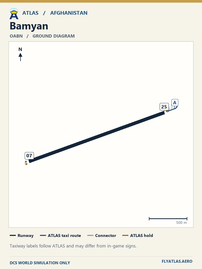
- Bamyan OABNNo source chart listedATLAS taxi diagram
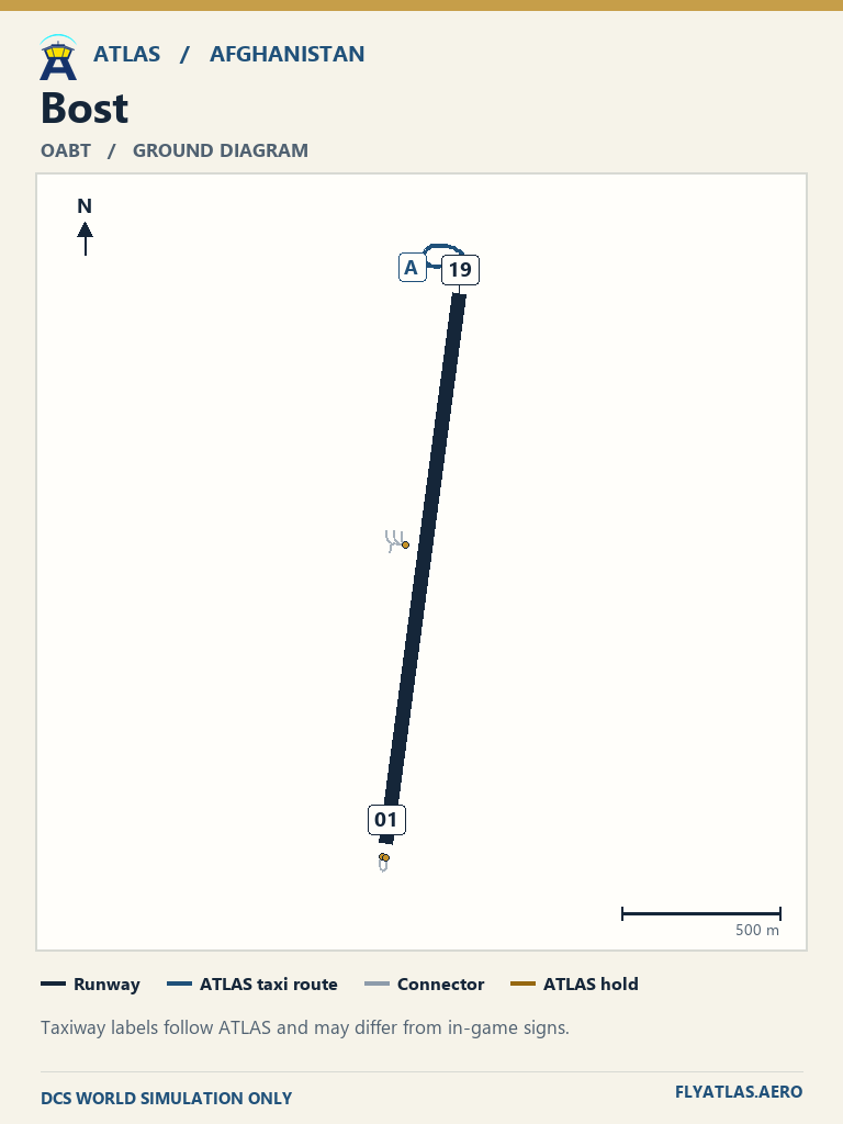
- Bost OABTNo source chart listedATLAS taxi diagram
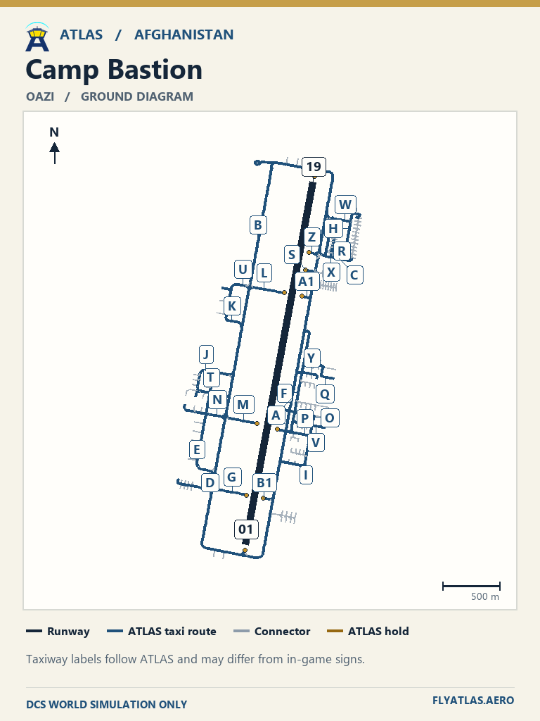
- Camp Bastion OAZI
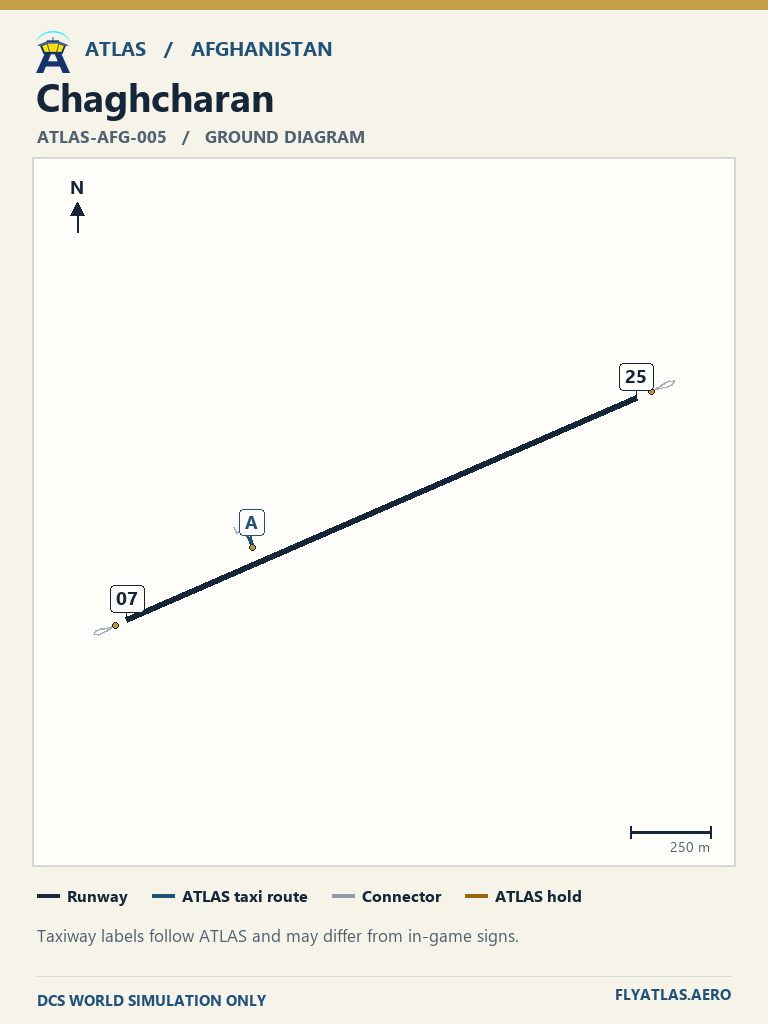
- Chaghcharan ATLAS-AFG-005
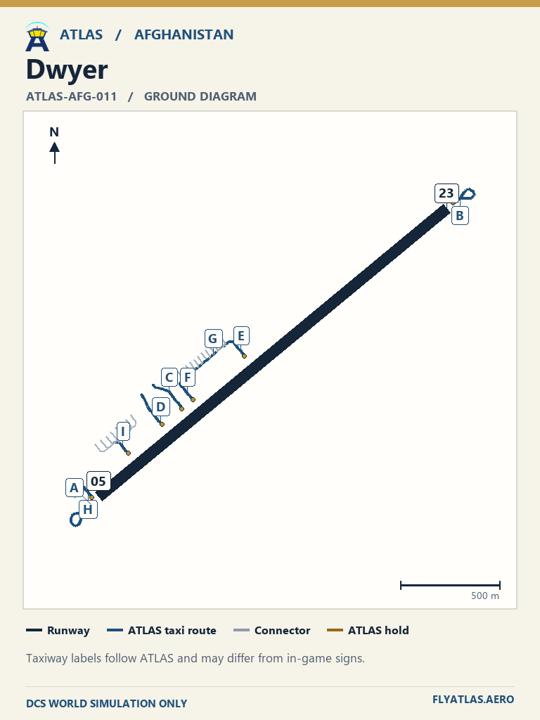
- Dwyer ATLAS-AFG-011
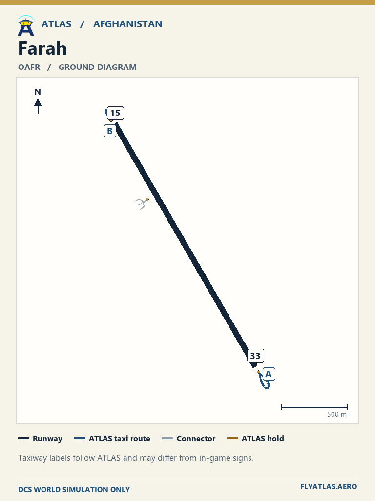
- Farah OAFR
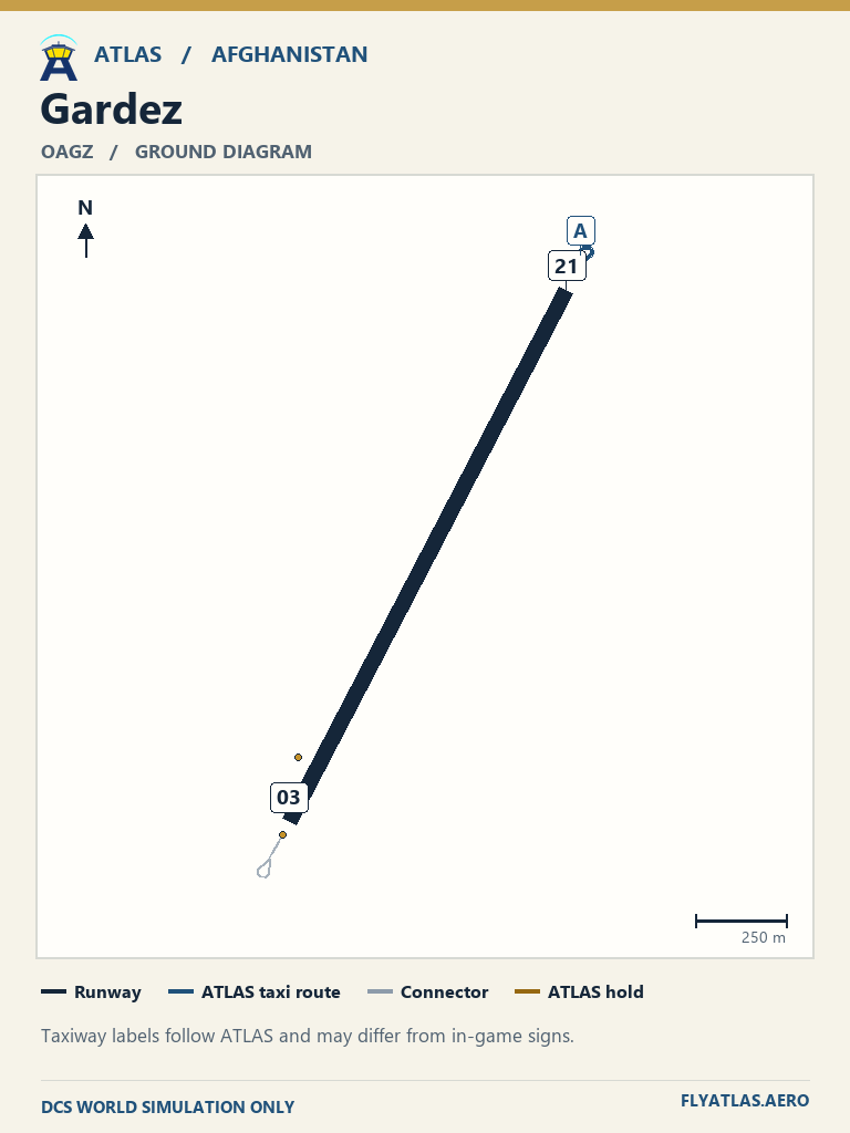
- Gardez OAGZNo source chart listedATLAS taxi diagram
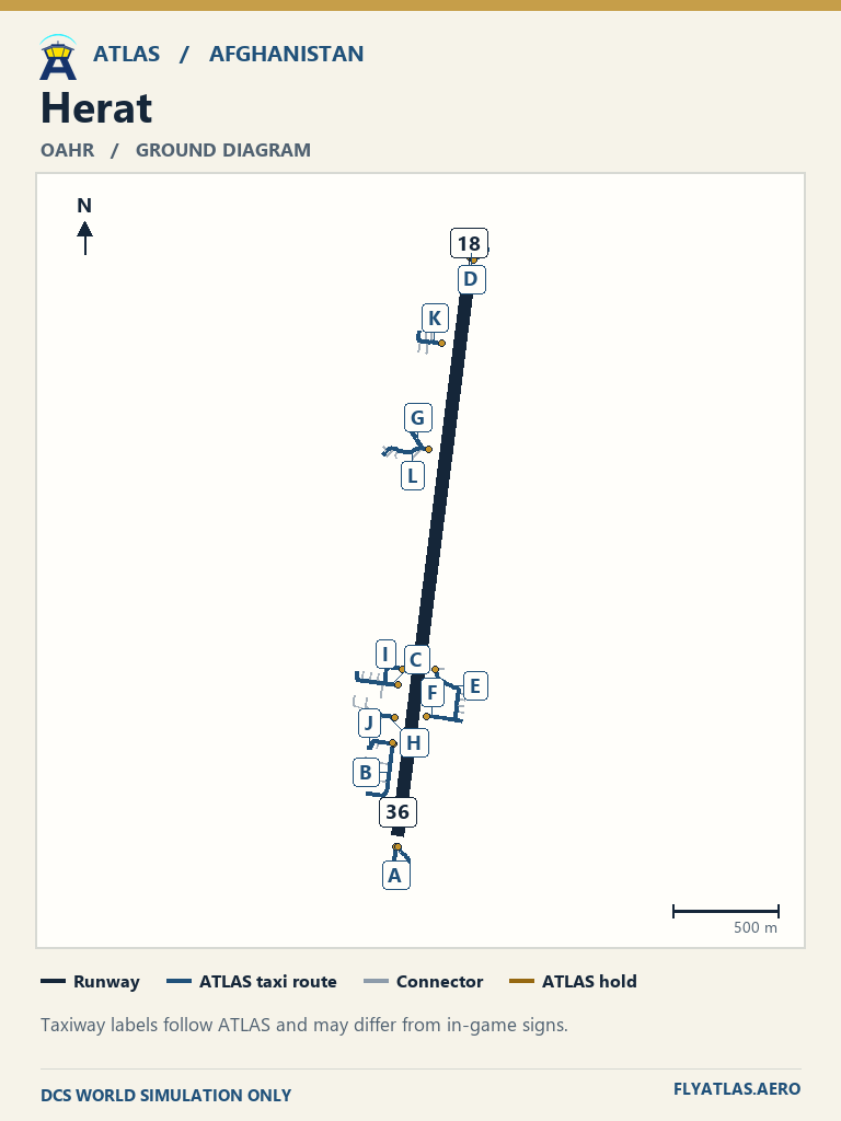
- Herat OAHR
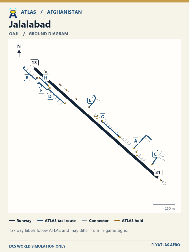
- Jalalabad OAJL
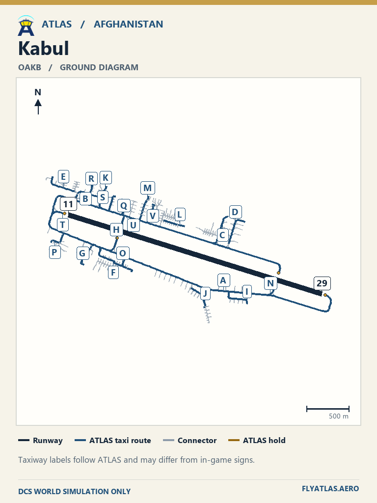
- Kabul OAKB
- Kandahar OAKN
- Khost ATLAS-AFG-025No source chart listedATLAS taxi diagram
- Maymana Zahiraddin Faryabi OAMN
- Nimroz OANZNo source chart listedATLAS taxi diagram
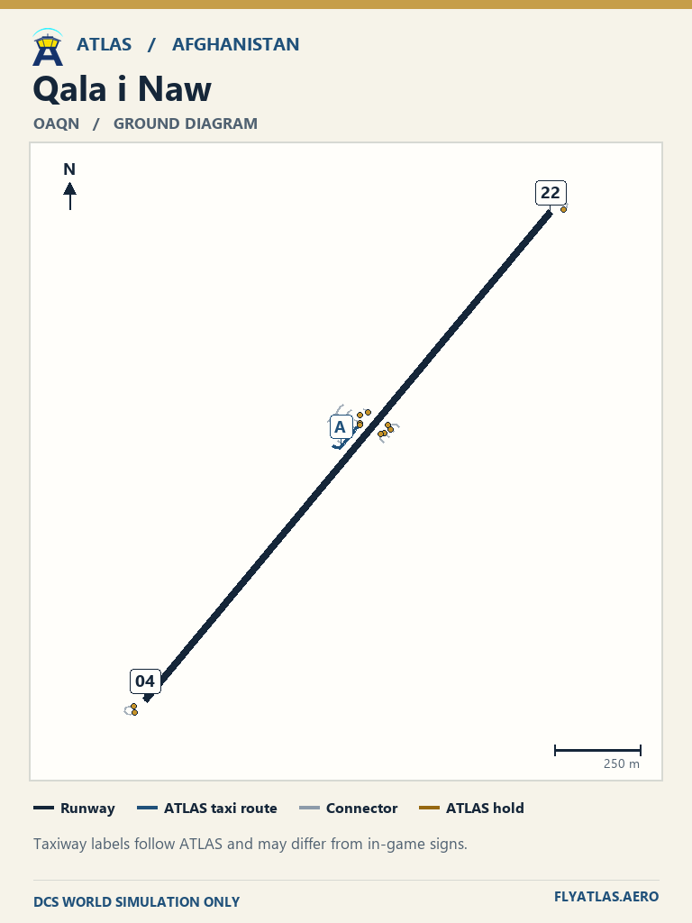
- Qala i Naw OAQN
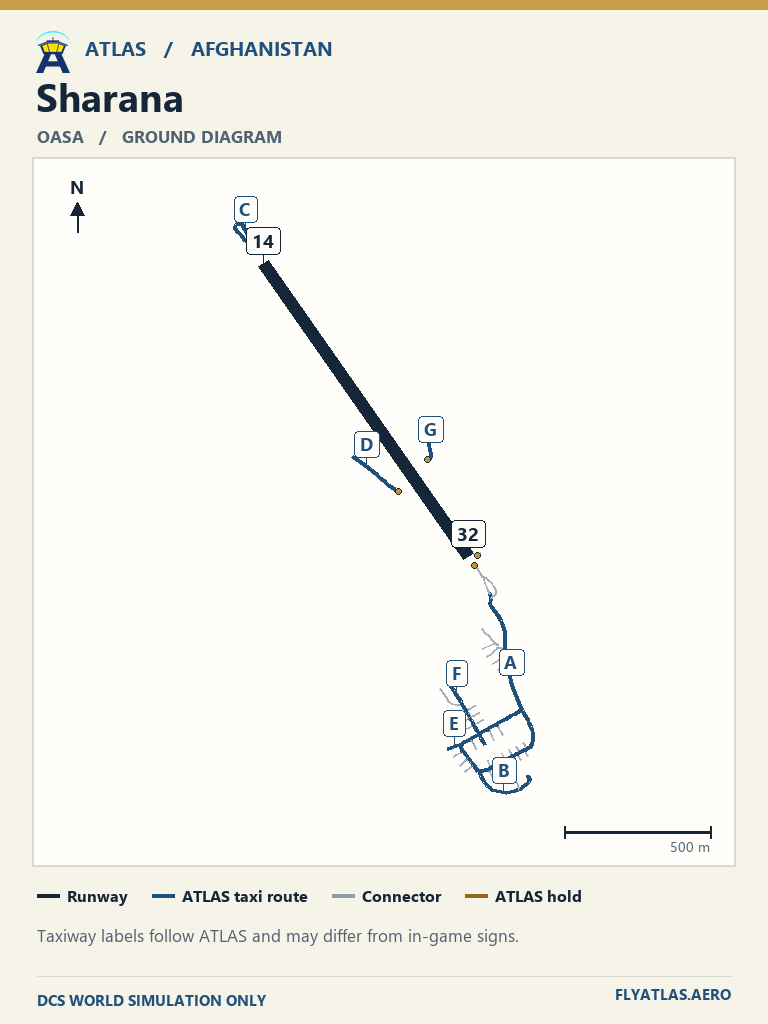
- Sharana OASA
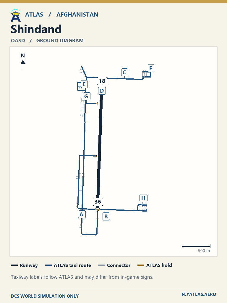
- Shindand OASD
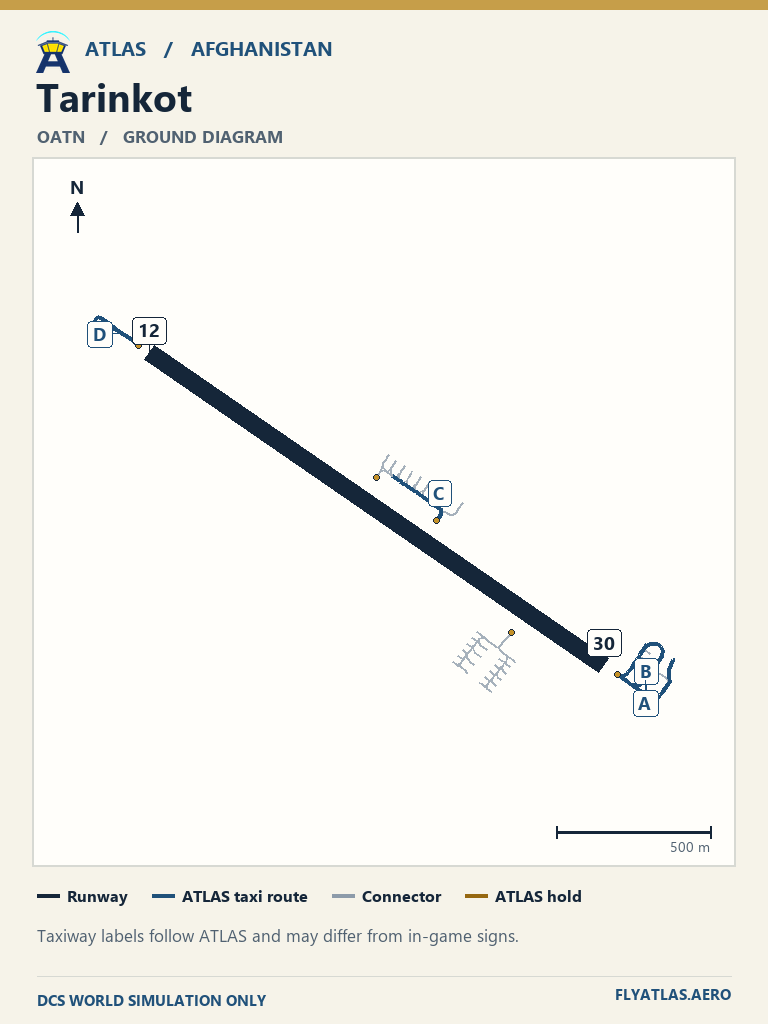
- Tarinkot OATNNo source chart listedATLAS taxi diagram
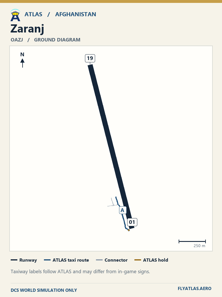
- Zaranj OAZJNo source chart listedATLAS taxi diagram
Use the charts in your DCS kneeboard
Download the ATLAS simulator diagram pack for your map. Extract it into your active DCS profile in Saved Games so its PNG files are directly inside Kneeboard. You can also copy individual PNGs into that folder. Reopen your mission, then use DCS’s kneeboard controls to browse the cards.